
Outdoor Links
Hike Arizona
Trip Planning Guide
Trip Report Index
Calendar of Events
Library
|
Orohai Loop Day Hike Goldfield Mountains April 1, 2006 by Ted Tenny |
|
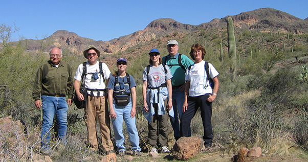 Ted, Chuck, Lynda, Debbie, Stan, Kay |
|
The Orohai Trail isn’t at all obvious as you leave Hackamore Trailhead. Ted took us in a wash and then along a dirt road until it dipped and started going seriously uphill. Then we returned to the wash and followed the trail to another wash with tire tracks. Soon we were up in the open country, with fine views of the highest peaks of the Goldfields. |
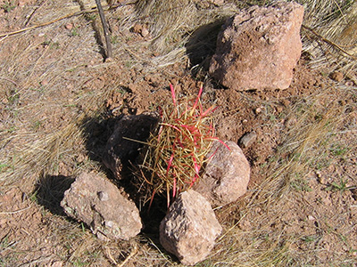 Buck up. You’re safely transplanted now. |
We stopped for a group picture just before Triple Trail Junction, where the Orohai Trail meets the Blue Ridge Trail, coming down from the ridge. Here we found a forlorn little fishhook cactus with its roots washed out of the ground. We transplanted it by the trail and promised to take another picture next time. |
 Saguaro points the way to Golden Hill 2726. 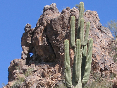 The window in the rock is shaped like Texas. The road continues up to Rock House Pass. Here we are treated to a grand view of the peak 3134 ridgeline, golden hill 2726, the Four Peaks, and Hat Top Hill. Topographic features in the Goldfields tend to occur in pairs, with hill 2726 and Hat Top Hill so similar that they can be easily mistaken for each other. Downhill from the pass, Ted points out the turn for the South Goldfield Arches hike. The scenery just gets better as we continue eastward past the golden slickrock of Hat Top Hill. We climb up to a pass where the view expands to include Weaver's Needle and the Superstition Mountains. Just beyond the pass, north of the road, is a rock formation with a Texas-shaped window. FR 1356 seems to dead end at the junction with Packsaddle Road. To the north is the turnoff for Hat Top Hill, and then the corral at Cottonwood Spring, and ultimately, Wishbone Junction. We head south instead, up and over a pass. |
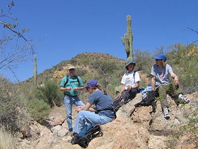 Picnic, on the rocks. 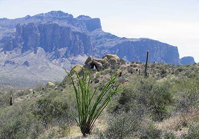 Ocotillo, Keyhole Arch, and the Superstition Mountains. |
We turn west on a trail that becomes a road, then stop for lunch at some rocks in the streambed. This is part of a network of trails on the inside part of our loop hike. These trails are being built and maintained by the Forest Service. Several trails take us up to a high point with a commanding view in all directions. “It’s mostly downhill from here.” One of the junctions is a trail we passed this morning on our way up. As the trail continues downhill there are golden slickrock formations frosted with lichens. Then we spot the Green Thumb and the Keyhole Arch. The trail goes down through a valley, past the Keyhole Arch, and then right up to the Green Thumb, a lichen-covered boulder of Tertiary volcanic tuff. We stop to look around, then head south on a road and a trail that takes us back to Packsaddle Road. |
|
The road has been re-routed around an open-pit mine. The pit is fenced off, allowing natural vegetation to begin re-claiming the site. We follow the road back to Hackamore Trailhead, where our cars are waiting. The hike went 6 1/2 miles, according to Ted’s GPS. |
 Top of Page
Arizona Trailblazers Hiking Club, Phoenix, Arizona
Comments? Send them to the AZHC .
updated April 21, 2020