Outdoor Links
Hike Arizona
Trip Planning Guide
Trip Report Index
Calendar of Events
Library
|
Rim to Highline Day Hike Sitgreaves National Forest July 10, 2010 by Ted Tenny |
|
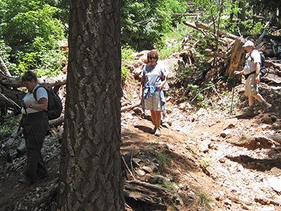
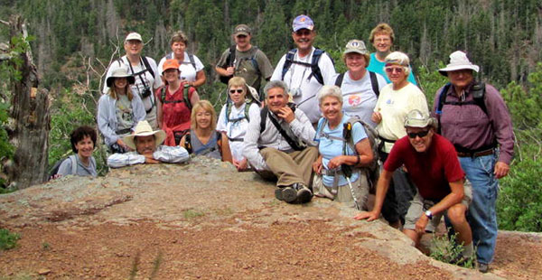 Trailblazers pass muster on the Mogollon Rim. [photo by Bill] |
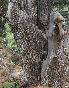 Alligator juniper doesn’t bite. |
Talk about luxury! The western half of the Rim Vista Trail offers the ultimate in luxurious hiking. There are little pieces of new concrete sidewalk separated by the dirt and gravel trail. Other parts of the trail are paved with blacktop. Seventeen swashbuckling Trailblazers set out from Mogollon Campground Trailhead on a cloudy morning with a pleasant breeze and a few tiny sprinkles. We become separated at the very beginning of the hike, when the cars have to be moved from the campground proper to a lot just outside the entrance. The trail doesn’t go there, so the drivers can’t see where to meet us. But we talk on cell phones and soon have everybody back together again. |
|
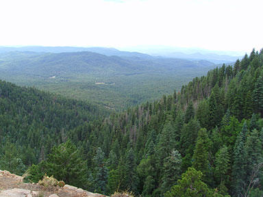
The trail starts south from Mogollon Campground and then bends to the east to take us around the top of a tributary of Gordon Canyon. We can see a distant view of Two Sixty Trailhead, where the hike ends, and know we’ll be crossing the lower part of that canyon before the hike is over. Soon we reach the first of many awesome overviews of the Transition Zone separating the Colorado Plateau from our familiar Basin and Range Province. |
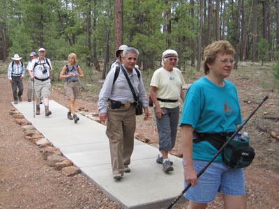 Sidewalk, or forest trail? |
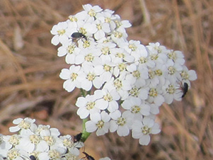 Achillea millefolium v. lanulosa – Western Yarrow |
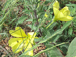
 Mirabilis multiflora – Colorado Four O’ Clock |
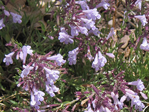
 Lesquerella gordonii – Gordon’s Bladderpod |
 Cirsium arizonicum – Arizona Thistle |
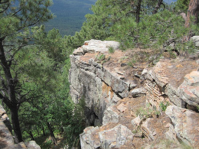 In the shadow of a mighty rock ... |
Hikers re-convene at the junction of the Rim Vista Trail and the Military Sinkhole Trail. We take a brief detour to a grand panorama at the trailhead, then begin our descent. The first mile is a steady downhill, almost a cat trail in places. By now the clouds are drifting away and the sun has come out. But we enjoy shade of the forest and a mild breeze. |
|
|
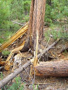
| The forest is healthy but not immune from lightning. [photos by Cyd] | |
 butterfly [photo by Bill] |
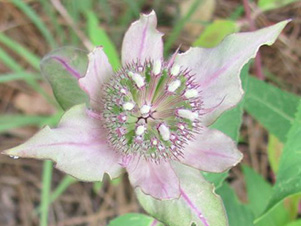 Mariposa Lily [photo by Wendy] |
|
Ferns delight in the cool shade. Wildflowers and insect life are abundant. Our hiking photographers snap away as we approach the turning point where the trail leaves an abandoned road. The last mile is rather circuitous, with lots of ups and downs as we wind our way across washes and over to the canyon which lies between us and the trailhead. |
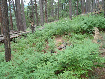 Ferns delight in the cool shade. [photo by Karen] |
|
The hike ends at Two Sixty Trailhead, where we left Ted’s car with a jug of ice water. Ted takes the other drivers back to their cars. No one is in a big hurry to go back to the Valley of the Sun. So after the hike we stop for food and fellowship at the Buffalo Bar & Grill in Payson. |
 Two Sixty Trailhead keeps getting closer. |

|

|
| Enjoying the repast in Payson. [photos by Wendy] | |
 Top of Page
Arizona Trailblazers Hiking Club, Phoenix, Arizona
Comments? Send them to the AZHC .
updated August 19, 2018