Outdoor Links
Hike Arizona
Trip Planning Guide
Trip Report Index
Calendar of Events
Library
|
Mt. Elden Day Hike Flagstaff June 7, 2008 by Craig MacDonnell |
|
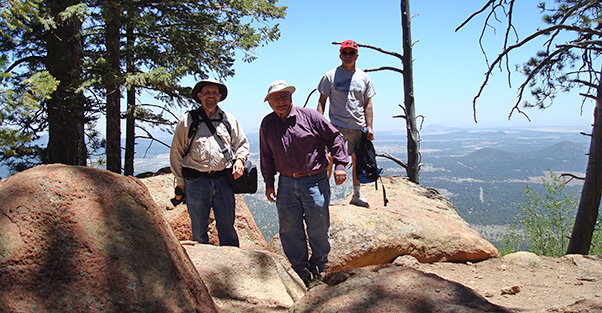 Craig, Ted, and Enrique at the Sunset Trail overlook. |
|
We had a dozen AZ Trailblazers members/non-members join online (or request) this event. On June 7, nine people actually registered and we established three carpools. I gave them maps and procedure steps for driving to our planned trailhead. |
 View of Sunset Crater Volcano National Monument. Unfortunately, two of our three carpools weren’t found. Although radio communications and even road searches were tried, only three of us (single vehicle) had the actual start place. We did see other vehicles, mountain-bikers, and so on. FR 557 is paved for a couple miles or so, then becomes a dirt road with occasionally scary boulders, slots and pockets. At our start meeting, I also mentioned another strange situation. If our small, planned/nearby parkings were maxed out, we could even drive to our Mount Elden Lookout. Such road conditions might have been why those other two carpoolers took different routes, parkings, etc. |
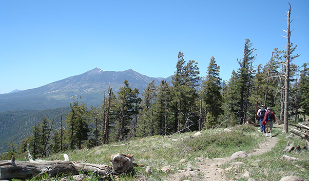
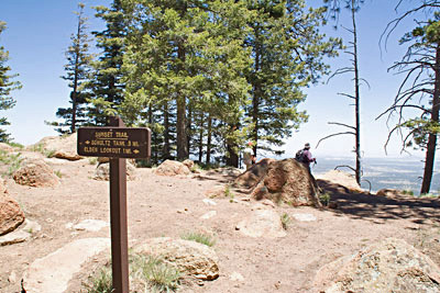 Fellow hikers look northward. • High temperature of 70s • Windy – 24 to 27 mph Starting about 11 AM, we three took the Upper Oldham Trail to its merge with Sunset Trail, 1,000' elevation in 1.5 miles. The winds were already VERY strong. We saw a few vehicles parked there. One might even be of our carpool companions. Anyway, it was neat to see views from this 8,900' elevation, even some snow on Humphrey’s Peak. We could see Sunset Crater, too. |
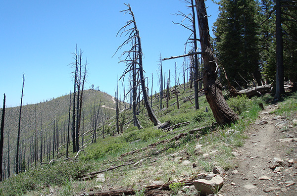
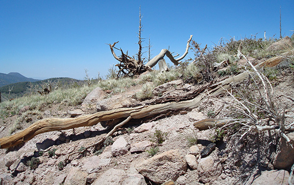
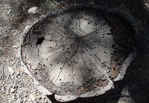
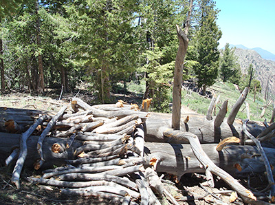 This tree was a casualty of the fire. 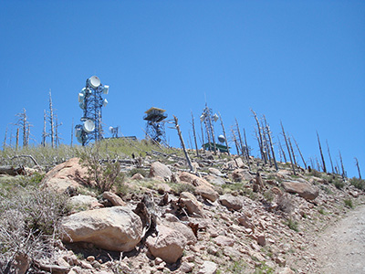 Nearer to the Mt. Elden Lookout summit, the fire’s devastation. |
Next was the one-mile hike to the summit of Mount Elden, also labeled as Lookout. Since this portion was very ridge-like, we faced substantially stronger winds. Along these trails were various pine trees (some dried out), aspens, and very creative paths – for hikers and bikers. We were getting closer to the towers of Mount Elden. Seeing those huge devices was an experience! Due to those nasty winds, we declined the optional side trip to Devil’s Head. Our accomplishment climbing Mount Elden was still AWESOME. From there, we could more easily see US 89, I-40, railroads, major sections of Flagstaff, etc. In addition, this Lookout has numerous towers – a forest watcher, radios, wireless, and more. Such findings were great to see and photograph. We took our short picnic at the summit area and then began the hike’s return to our parking place. |
|
Another surprise: during our decent of Sunset Trail (yeah, still GUSTY winds) we found three fellow hikers! They were still hiking up to Mount Elden. Two were from our Phoenix-based carpool; a third registered member had taken a different route to Flagstaff. |
 Do you suppose the wind is blowing on the San Francisco Peaks? |
|
Total length was about six miles. It took us less than two hours back from Mount Elden to parking near 3:30 PM. We couldn’t see or connect with fellow team hikers. 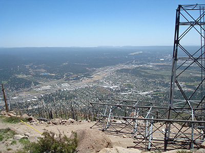 East Flagstaff, from the top of Mt. Elden. When back home, I found via the Internet that wind statistics in the Flagstaff area that afternoon were between 28 and 39 mph. No wonder we had a little hiking scare on Mount Elden with a ridge and the summit! This initial hike-leading for me was still very successful and informative. I would expect re-trying Mount Elden at another time, maybe even different roads/trails, or other future hikes. |
|
Supplemental Report by Ted Tenny |
|
It was windy on Mt. Elden! Craig, Enrique and I climbed up on the Upper Oldham Trail and the Sunset Trail, taking pictures and recording the route on my GPS. Somehow we got separated from the others before starting our hike, and we lost radio contact. Eventually we met Joe, Doug, and Michael, and they verified that the others were safely gone. Aside from the wind it was a great day for this "B" hike. |
 Up we go. [photo by Ted] |
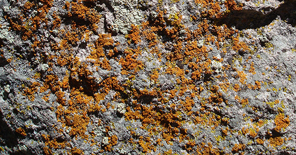 Bright lichens cheer us. [photo by Ted] |
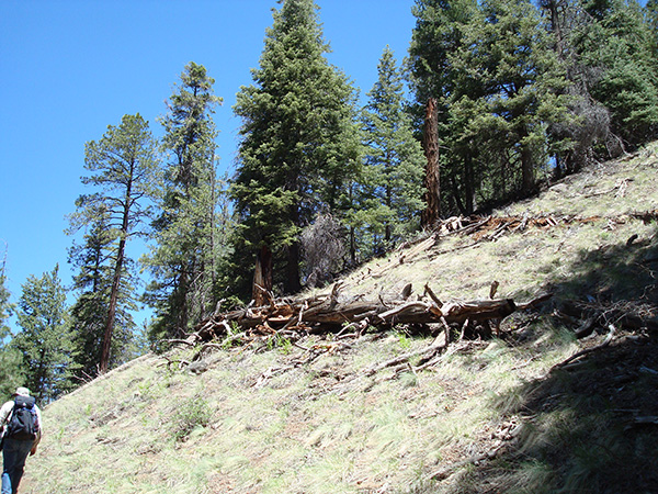
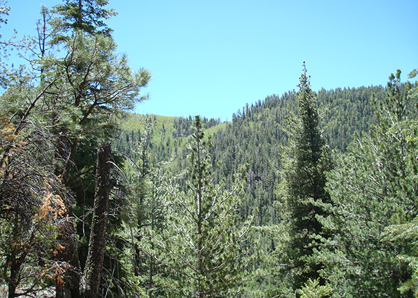 We climb through a dense forest. [photo by Ted] |
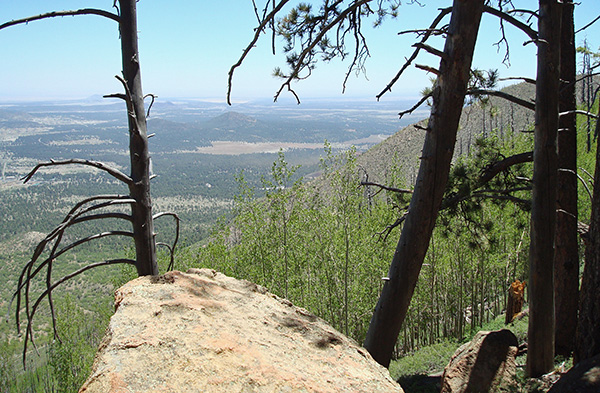 What a view! [photo by Ted] |
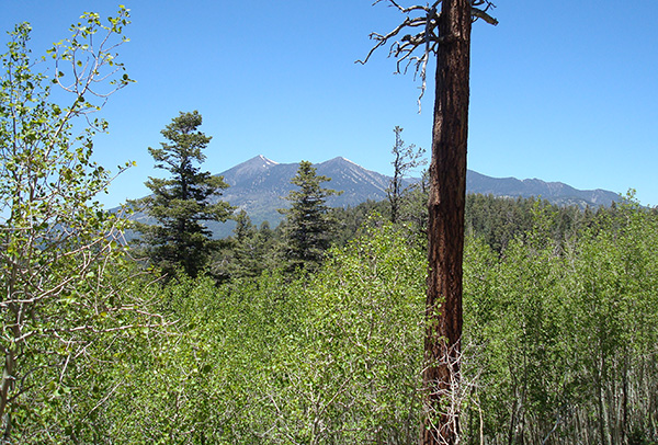 Looking toward the San Francisco Peaks. [photo by Ted] |
 We’re going to the top. [photo by Ted] |
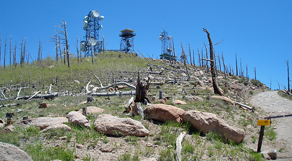 The great antenna forest. [photo by Ted] |
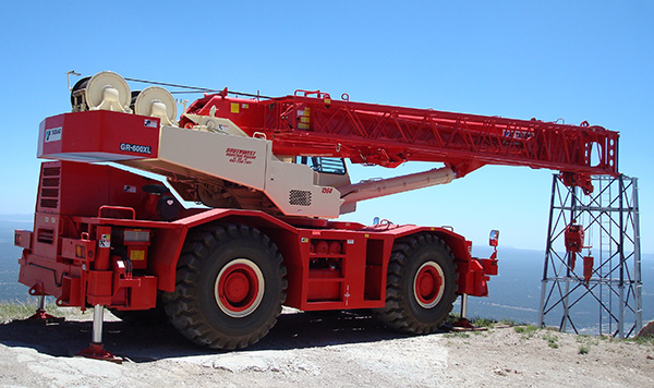 I do the heavy lifting around here. [photo by Ted] |
 I am what I am and that’s all what I am. [photo by Ted] |
 The insects around here are boring. [photo by Ted] |
 Top of Page
Arizona Trailblazers Hiking Club, Phoenix, Arizona
Comments? Send them to the AZHC .
updated May 9, 2020