Outdoor Links
Hike Arizona
Trip Planning Guide
Trip Report Index
Calendar of Events
Library
|
Three Buttes Day Hike Happy Jack June 15, 2013 by Bill Zimmermann |
|
 Bill, Sandy, Arturo, Jim, Anikó |
|
Three Buttes: Hutch, Mahan, and Bill Back
At 6:18 AM wheels were rolling and five hikers were their way. At milepost 311 we left Lake Mary Road and headed east on FR135. Bill’s low clearance van slowly navigated the three miles to the hike start point. |
|
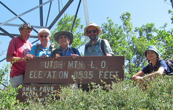
Hutch Mountain (10:45AM: 3.6 miles, 700 feet)
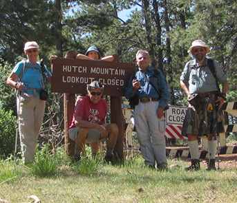
At 9:00 AM we were hiking up the road to the lookout tower. We hiked in the partial shade of pines and oaks. Wild roses lined the road. When we reached the tower we took turns climbing the stairs. It was windy, with clear skies near the top. Hiking back down the road we were greeted by three families that had driven up to the closed gate, along with a continual buzz of ATVs. |
 My love is a wild, wild rose. |
 Sure, we’re going to make it to the top. |
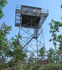 Hutch Mountain Lookout Tower |
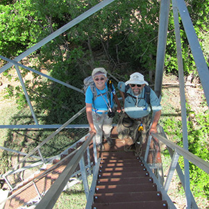 Sandy and Jim climb the steps to the tower. |
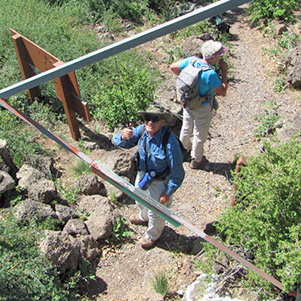 Arturo is our chief communications officer. |
|
Mahan Mountain (2.9 miles, 450 feet) |
|
 Rose Locust Surprise. At “TX” we came across a defined animal trail that led us to a saddle “SA”. It was a treeless clearing with scenic views. We continued off-trail climbing toward the pre-entered GPS location. Surprise again. At “RX” we found an old road that we followed to the top, “T2”. At the top we found footings of a former lookout tower. As we had lunch the skies darkened, but the thick clouds blew past without rain. On the way down we followed a road. Anikó found a second geocache site off the road near the bottom. At 12:30 we were back at the van and ready for our third adventure. |
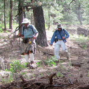
 Arturo squeezes under the fence without getting caught in the barbs. |
 Jim and Sandy have some tough logs to cross. |
 Anikó shows how it’s done. |
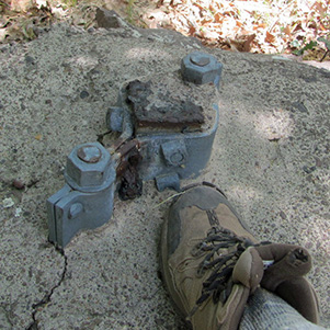 Footings of a former lookout tower. |
 Second geocache found. |
|
Bill Back Butte (2.8 miles, 400 feet) |
|
|
We drove south on FR230 about 2 miles before parking the van. We followed the pre-GPS route through open forest up a gradual grade. Here we came across an intact elk skeleton and fur-covered leg sections, which Bill took a liking to. |
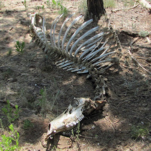 An elk didn’t make the crossing. |
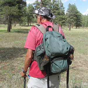 Bill’s two extra feet. |
 This part of the climb is an easy bushwhack. |
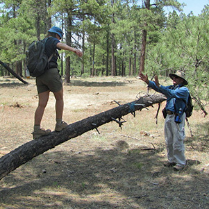 Sometimes the log is a better way. |
|
At “FX2” we found a road not appearing on Bill’s Topo map. We followed it to false summit, where we posed for pictures with scenic Indian Maid Mountain in the background. From here we followed the road that stopped at the top, “T3”. The top, like Mahan, was tree-covered with no views. We had a second food break before bushwhacking down the east side. It was steep. The forest was open and thick with pine needles. Finally we emerged in sunshine as we crossed the grass flats on the way back to the van. |
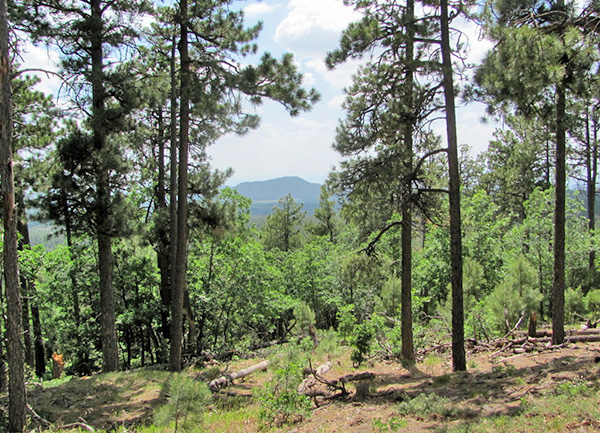 Indian Maid Mountain from Bill Back Butte. |
 Jim and Arturo find the best route down. |
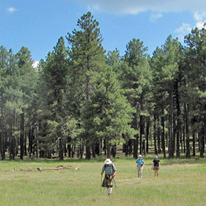 A pleasant mountain meadow leads to the van. |
|
Before returning to the valley, we stopped for lunch in Payson. |
|
 Top of Page
Arizona Trailblazers Hiking Club, Phoenix, Arizona
Comments? Send them to the AZHC .
updated January 22, 2020