Outdoor Links
Hike Arizona
Trip Planning Guide
Trip Report Index
Calendar of Events
Library
|
Pivot Rock Spring Day Hike Mogollon Rim September 3, 2011 by Ted Tenny |
|
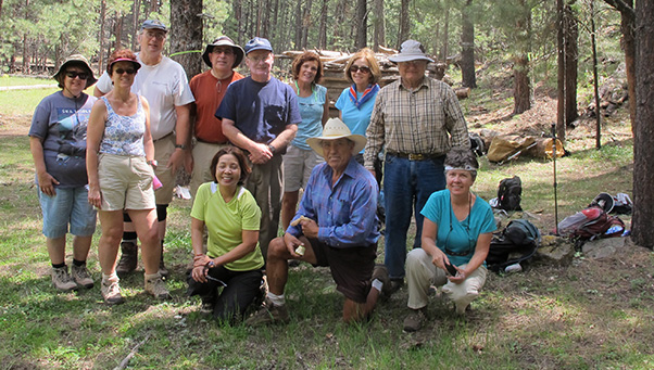 Monika, Monika, Michael, Barry, Quy, Ed, Becky, Rudy, Wendy, Ted, Eileen |
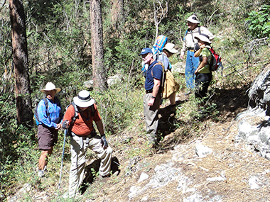 Made it to Pivot Rock Spring. What next? [photo by Eileen] 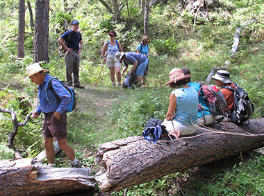 Log-rolling, Trailblazer style. |
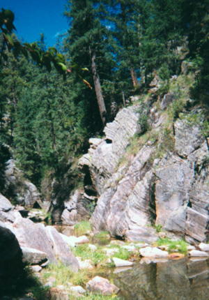
Eleven enthusiastic Trailblazers set out for Pivot Rock Canyon to find the fabled spirit-rock photographed by Cyd Cassel some years ago. They found everything else, including more rocks with faces, on their way up to Pivot Rock Spring. This part of the hike was exploratory, but easier than expected. Cairns mark the place to turn off the main trail and cross the canyon. On the other side there is an unmarked trail up to the spring and beyond. The trail follows the stream, crossing it several times, then divides at the spring with both branches heading up to Forest Road 616. Pivot Rock Spring flows freely, even in the summer. It’s in a delightfully cool cave. Water flows through and around a metal pipe and down into the streambed, with healthy vegetation enjoying the plentiful water all the way up. Water striders dance on the pools, casting their distinctive insect shadows on the rocks below. |
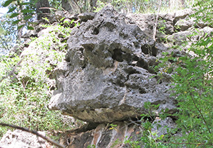
 Cyd’s original spirit-rock. But where is it? |
 The wise overseer. |
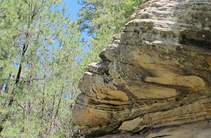 The canyon watchman. |
 Pivot Rock Spring The trail to the pioneer cabin goes downstream across flowery meadows and by boulders with plants growing out of them. Fast hikers surged ahead while slower hikers stopped to take pictures. Then we all re-convened at the cabin for a picnic. Earlier in the hike we had met some equestrians, and now more of them joined us at the cabin. Turned out they knew Ted, from Friends of the Goldfields meetings they had with the Forest Service a few years ago. One of them graciously took our group picture. |
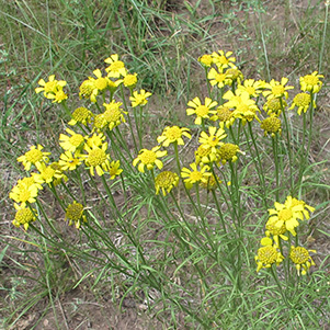 Senecio lemmonii Lemmon’s Ragwort |
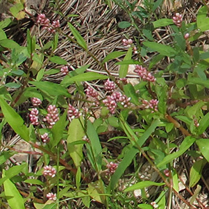 Polygonum pensylvanicum Pennsylvania Smartweed |
|
|
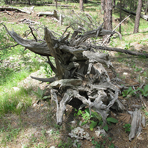
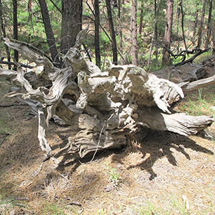
| Uprooted trees must have clung on tenaciously ... | |
|
|
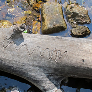
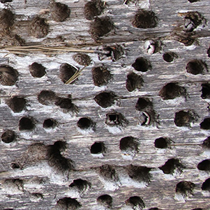
| But the insects around here are boring. | |
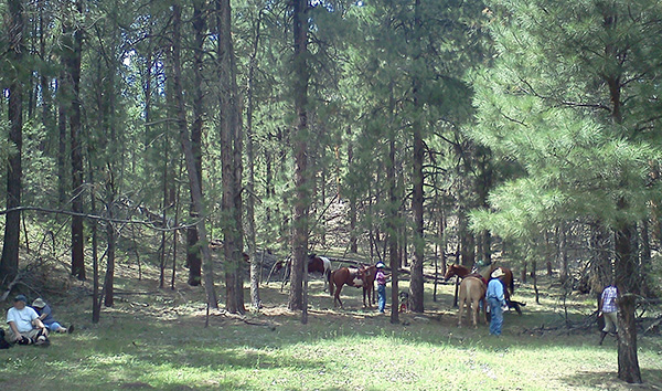 Friendly equestrians join us at the cabin. [photo by Becky] |
|
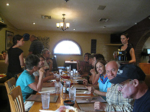
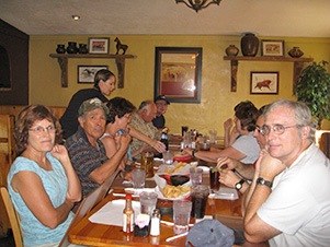
The group then divided, with most of the hikers deciding to explore farther down the canyon. Ted appointed Eileen as their deputy leader. Monika walked back to the trailhead with Ted, where they waited for the canyon explorers to return. There were other groups of hikers on the trail. Some folks were camping by the trailhead while others drove up and down the road in ATVs, kicking up noise and dust. It seemed like a long time before Eileen and Wendy arrived. No sign of the others. They said the group had divided again, with everyone else taking a detour on the way back. Eventually we saw them all walking down the road we drove in on. With everyone together again, we decided to stop for dinner at El Rancho in Payson on our drive back to the Valley of the Sun. |
|
|
| Savoring the repast at El Rancho. [photos by Quy] | |
 Top of Page
Arizona Trailblazers Hiking Club, Phoenix, Arizona
Comments? Send them to the AZHC .
updated June 4, 2017