Outdoor Links
Hike Arizona
Trip Planning Guide
Trip Report Index
Calendar of Events
Library
|
South Fork Day Hike Mogollon Rim June 16, 2018 by Bill Zimmermann |
|
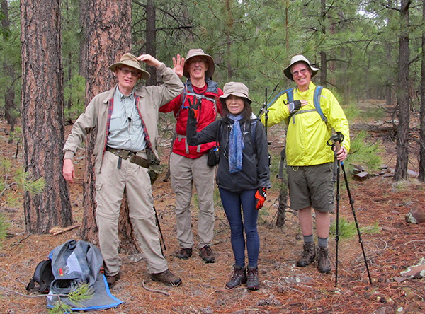
 Bill, Robert, Terry, Li, Tom |
|
We came back for a second try to enter Chevelon Canyon. A windshield-wiper drive through dense fog got us to the trailhead. It was 52 degrees with light sprinkles when we started hiking at 8:15. |
 We’re off! [photo by Tom] |
 Watch your step on those rocks. [photo by Li] |
 Terry [photo by Tom] |
 Bill |
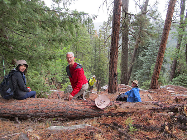
 Made it to “R3”. |
|
We followed unmarked forest road 106 to waypoint “RX5”. At that point we headed onto an unmarked forest road, 106a. Actually it was a route-finding bushwhack through the woods on a heading toward waypoint “R4”. At “FR” we found the road that we took to the end at “R1”. After a snack break at “L” we headed to “73”. A ribbon marked the route down. However we decided with wet ground and rain the “keystone of the hike” would have to wait for another day. |
 Quite a view we have here! |
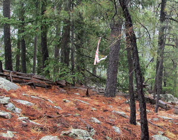 There’s the ribbon. |
 All right, Bill, where do we go now? [photo by Tom] |
|
So we headed back, entering South Fork at “SF”. We followed the canyon to “SF4”. At that point we climbed out and followed the GPS heading to the car. |
 Glad it didn’t fall on me. |
 My love is a wild, wild rose. |
 The insects around here are boring. |
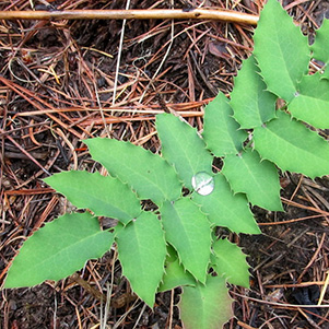 Diamond drop. |
|
Sunglasses not required. It was a mixture of misting, dry, and light drizzle throughout the hike. Once we were back in the cars, the rain let loose. |
 Trailblazers at the Buffalo Bar. [photo by Tom] |
|
We stopped the Buffalo Bar for grub. 8.8 miles, +-900 feet elevation change. |
| → More pictures, by Li. |
| → More pictures, by Tom. |
 Top of Page
Arizona Trailblazers Hiking Club, Phoenix, Arizona
Comments? Send them to the AZHC .
updated June 18, 2018