Outdoor Links
Hike Arizona
Trip Planning Guide
Trip Report Index
Calendar of Events
Library
|
Go John, Jasper, Slate, Quartz Loop Cave Creek Regional Park March 5, 2016 by Gabrielle McConnell |
|
|
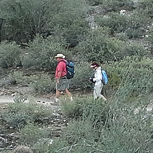
This hike was a variation of the standard Go John trail, extended to make for a decent 7 mile loop. We were a little concerned about the heat, so we made sure we were on the trail early. The first part, following the Quartz and Slate Trails, would have minimal elevation changes and then we’d climb up to join the Go John trail. I was hoping we’d see wildflowers and we did see a few along with some wonderful scenery. Monika and I are glad everyone enjoyed the hike and the fellow companionship. The first part of the hike was rather flat, but quite verdant with larger trees and more shade. This made for nice variation in the trail. |
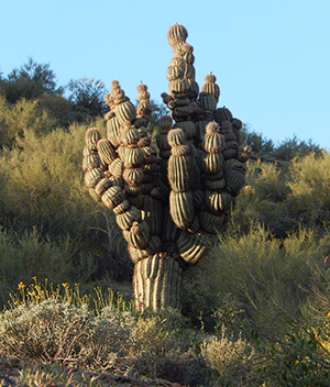 Saguaro. [photo by Monica H.] |
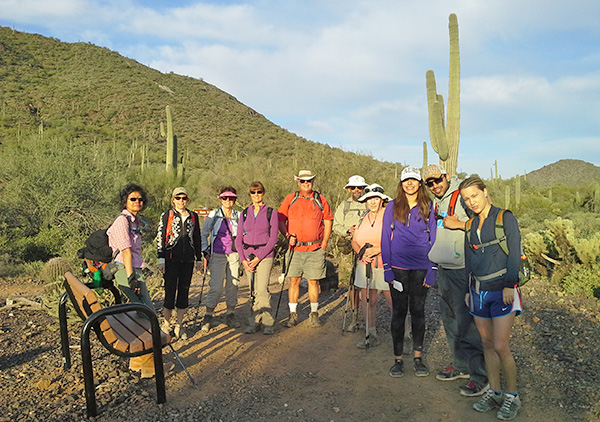 Cecilia, Julie, Monika, Nancy, Joe, Jim, Laurie, Byanca, Jorge, Maja |
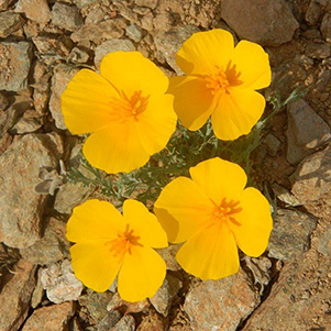 Gold poppies. [photo by Monica H.] |
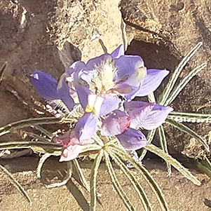 Coulter’s Lupine. [photo by Monica H.] |
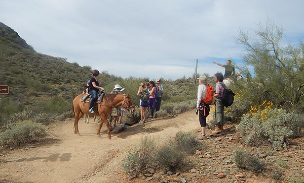 Next Time we are riding the horses! [photo by Monica H.] |
|
We saw some of the early flowers, along with a fascinating saguaro. The Quartz trail climbed to connect with Go John and we had some wonderful views. |
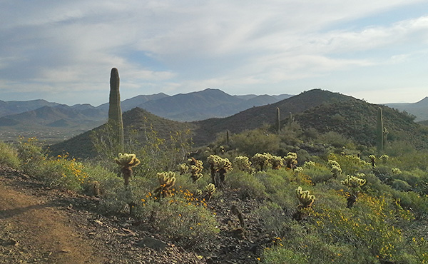 They call it that good old mountain view. |
 Fantastic mountain views. [photo by Nancy] |
 Cool oasis on the trail. |
 Monika and Joe. |
|
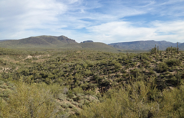
About halfway we took a break and admired the views. |
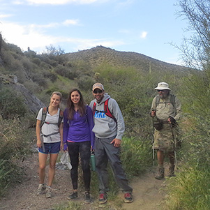
 Taking a Break at the Peak. [photo by Nancy] |
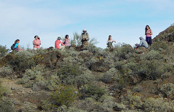 Taking a Break at the Peak. [photo by Monika H.] |
|
The weather was fantastic, and we even had a cool breeze. We made good time on the hike, with a few breaks to regroup and admire the scenery along the way. The hike started out with few other hikers on the trail, but by the end of the hike we were seeing many more folks and plenty of bike riders. After the hike, we went to a nearby restaurant for lunch, El Encanto Dos. The beautiful scenery continued even here. Even the walkway to the restaurant was pretty. We could not have asked for a better lunch location-out on the patio. |
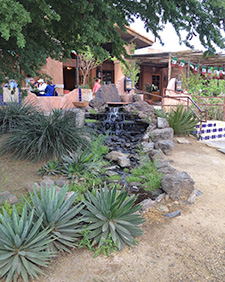 Restaurant pathway. [photo by Nancy] |
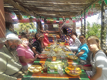 Beautiful setting for lunch on the outdoor patio. Jim, Laurie, Jorge, Byanca, Joe, Cecilia, Monika, Nancy, Maja |
|
Thanks to everyone for joining us on this beautiful hike. |
|
|
Supplemental Report by Jim Buyens |
|||||||||||||||||||||||||||||||||||||||||||||||||
|
It was certainly great seeing everyone at Saturday's hike. Go John is one of my favorite hikes, the weather was beautiful, and the companionship was wonderful. Thanks to all! Gabe, thanks again for leading a great hike, and to everyone else for coming along. See you next time! Jim |
|||||||||||||||||||||||||||||||||||||||||||||||||
|
|
||||||||||||||||||||||||||||||||||||||||||||||||
 Top of Page
Arizona Trailblazers Hiking Club, Phoenix, Arizona
Comments? Send them to the AZHC .
updated December 31, 2019