
Outdoor Links
Hike Arizona
Trip Planning Guide
Trip Report Index
Calendar of Events
Library
|
Windgate Pass Scottsdale February 14, 2015 by Jim Buyens |
|
This trail is actually a loop that starts at the Gateway Trailhead in Scottsdale and then travels the Saguaro. Gateway Loop, Bell Pass, Windgate Pass, Gateway Loop (again but not the same part) and Saguaro (again, same part) before returning to the trailhead. It’s more of an old favorite than a new adventure, but there’s nothing wrong with favorites.
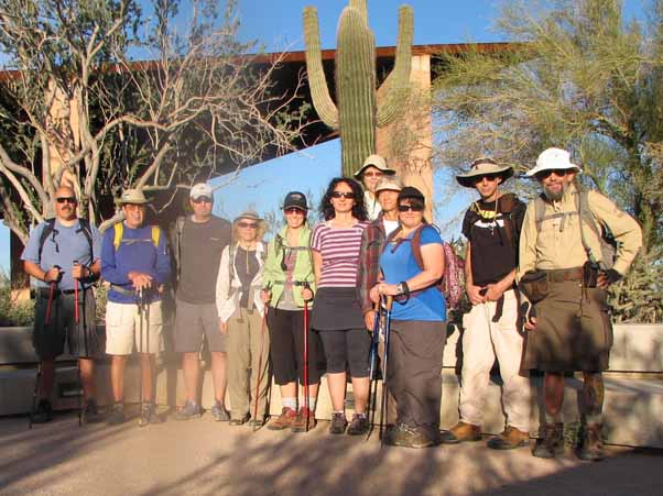 Eleven Trailblazers ready to go. |
The hike offerred two options – 6.7 miles and 9.6 miles – with the break-off point being the southern intersection of the Gateway Loop and Bell Pass trails. Monika, Julie, Dave M., and Dana took the short trail, continuing on the Gateway Loop, Windgate Pass (westbound), and Desert Park trails.
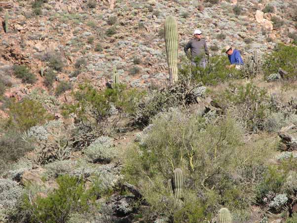 After an initial flat stretch, the trail certainly begins to climb. |
Biljana. David B, Tamar, Al, Johnny, and Bruce broke off on the Bell Pass trail and then as described above for the whole hike.
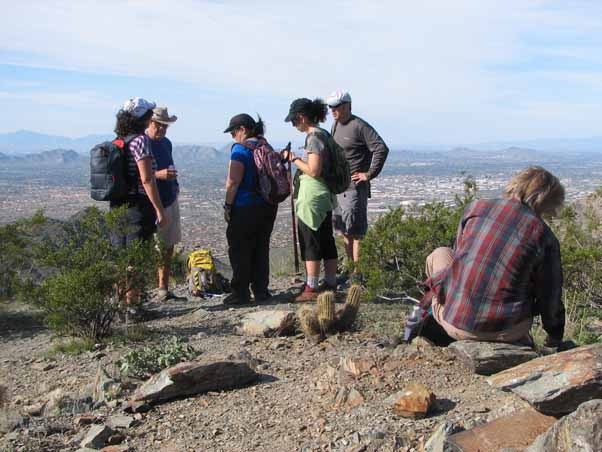 Stoppin for an early catch-up and rest. |
The weather was fair, starting at 65 degrees and ending at 80, with sunny skies all day. Eighty degrees was a bit warm but everyone had plenty of water and, anyway, we were all supposed to be experienced desert rats.
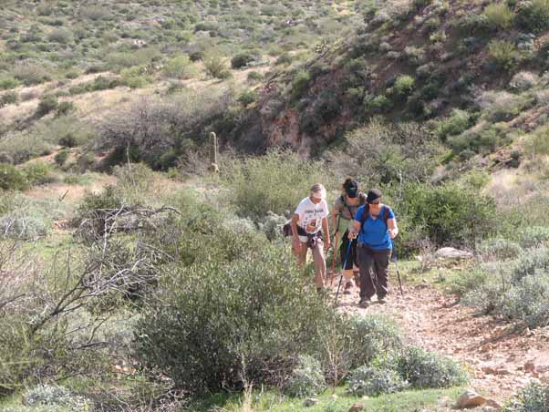
 The eastern stretches of the Windgate Trail offer both solitude and scenery. |
|
 Stopping for a later catch-up and rest. It’s mostly downhill from here. |
We finished the hike at about one o’clock, which everyone appreciated. We’d completed a nice hike, worked in some great exercise, and enjoyed some wonderful scenery, and still had half a day to do whatever we want. That and the gas savings are certainly an advantage to hiking near home.
 This lookout is called Inspiration Point, and true to its name, it inspired us to finish. |
| Hike Statistics | ||
| Total Distance: | 9.64 | miles |
| Starting Time: | 8:27 | AM |
| Moving Time: | 3:54 | hrs:min |
| Stopped Time: | 0:46 | hrs:min |
| Duration: | 4:40 | hrs:min |
| Finishing Time: | 1:08 | PM |
| Avg. Speed Moving: | 2.5 | mph |
| Avg. Speed Overall: | 2.1 | mph |
| Starting Elevation: | 2,290 | ft |
| Minimum Elevation: | 1,560 | ft |
| Maximum Elevation: | 3,205 | ft |
| Total Ascent: | 2217 | ft |
| Calories: | 769 | |
| Starting Temperature: | 65 | ° |
| Finishing Temperature: | 80 | ° |
 Top of Page
Arizona Trailblazers Hiking Club, Phoenix, Arizona
Comments? Send them to the AZHC .
updated May 30, 2020