
Outdoor Links
Hike Arizona
Trip Planning Guide
Trip Report Index
Calendar of Events
Library
|
Geronimo Trail Day Hike Phoenix South Mountain January 19, 2013 by Becky Johnson |
|
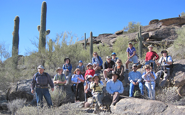 South Mountain welcomes 18 nifty Trailblazers. [photo by Ted] |
|
Ted, Scott, Eileen, Ginny, Anikó, Becky, Cathy, Quy, Tess, Gary, Mark, Rudy, Lori, Karen, George, Cyd, Bruce, Chuck |
|
South Mountain Park is the largest city park in the United States. It is one of the largest urban parks in North America and the world. It is approximately 25 square miles of native desert vegetation. In 1924 President Calvin Coolidge sold an initial 13,000 acres to the city of Phoenix for $17,000. |
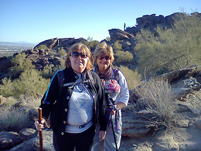 Ginny and Cyd sweep, leaving no one behind. [photo by Becky] |
The rock formations we see are classified as granodiorite from the Tertiary Period which was 1.6 to 65 million years ago in the Cenozoic Era (mammals predominate). Platy rocks along the trail indicate great stretching and doming forces of these igneous rocks. [Gemland.com] Our 7 mile loop begins with 18 hikers and a bright and sunny day with crisp clean air. The wind is cool and the canyon is shaded. |
|
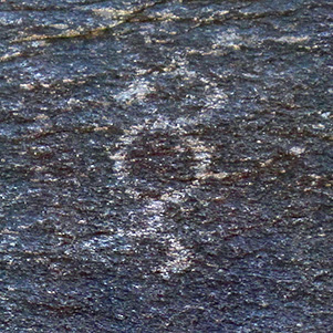
We make the challenging climb out of Neighborhood Canyon at the 24th Street and Valley View Dr., which is the Mormon Trailhead. From the trailhead to the top there is an approximate 1000' elevation change. At the first saddle, Eileen and others have spotted a pack of 4 coyotes. Between the Mormon Loop trail and the National Trail, Bruce shares with us some petroglyphs which are just off the trail. |

|
|
| Ancient petroglyphs tell of a life gone by. [photos by Ted] | |
|
This hike was introduced to Becky by a member of the Wandering Soles hiking club. Two members of this club join us. Where the Mormon Trail intersects with the National Trail, Gary takes us to hike a loop through Hidden Valley to Fat Man’s Pass. When we reach Fat Man’s Pass there are a gazillion people! It would take too long for all of us to go through, and due to the crowd we were unable to take many photos here. We find out later from other hikers that there is a grade school function. |
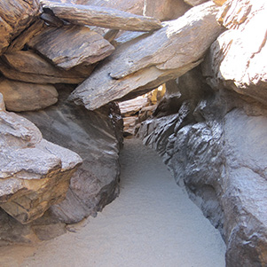 Tunnel leads to Hidden Valley. [photo by Ted] |
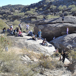 Fat Man’s Pass. [photo by Mark] |
|
The National Trail is the longest trail in South Mountain. On our loop we hike a 2.2 mile portion of it. We communicate with those ahead or behind warning of oncoming groups of mountain bikers. While stopping aside the trail to allow them to pass (bikes are faster), it provided us a chance to take in the views of large rounded boulders coated by brown and tan veneer of desert varnish. This trail offers spectacular views of the interior of the mountain. Boulders stacked upon boulders and boulders. |
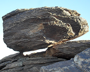 Balancing Rock. [photo by Mark] |
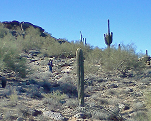 Ted hikes the National Trail. [photo by Becky] |
 Petrified frog with wings. [photo by Ted] |
We break for a snack on a high peak about one mile east of the Buena Vista Lookout. From our possibly 2200’ high peak we have a 360 degree panoramic view. |
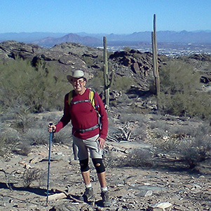 Bruce before Camelback Mountain. [Becky] |
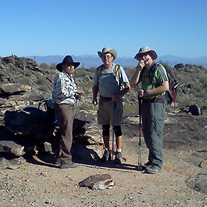 Rudy Bruce, and Scott. [photo by Becky] |
 Mazatzals form a backdrop as Trailblazers troop the National Trail. [photo by Ted] |
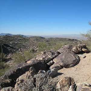 northwest: White Tanks & Bradshaws |
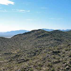 west: Sierra Estrella |
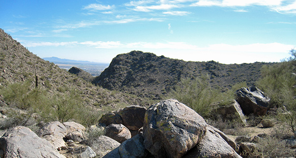 southeast: San Tans [photos by Becky] |
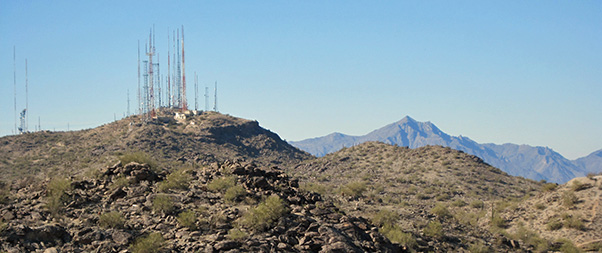 Antenna forest foreshadows peak 4512 of the mighty Sierra Estrella. |
|
The Geronimo Trail begins at the Buena Vista Trailhead. We descend 2.5 miles, an elevation change of 1000'. We descend into a small bowl of a valley which two washes empty into. As we ascend the trail, the temperature rises to 80 degrees. |
 Saguaros and a butte point the way to Phoenix on the Geronimo Trail. [photo by Ted] |
 Mama Lizard carries a baby on her back. [Ted] |
 Saguaro is our guiding light on the ascent. [Becky] |
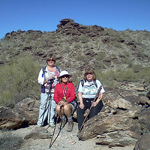 Cyd, Becky & Ginny break before the last ascent. [photo by Becky] |
Each hike you hear or see different stages of fauna and flora. At the date of this hike nothing is blooming, the desert flora has not yet come to life nor bloomed. It will be exciting to take one of these trails frequently this spring to see the desert come to life. See you on the trail! |
 After the hike: repast at Gallagher’s. [photo by Cyd] |
 Top of Page
Arizona Trailblazers Hiking Club, Phoenix, Arizona
Comments? Send them to the AZHC .
updated November 19, 2019