Outdoor Links
Hike Arizona
Trip Planning Guide
Trip Report Index
Calendar of Events
Library
|
Bush to Magic Mountain Usery Mountains February 3, 2021 by John Scruggs |
|
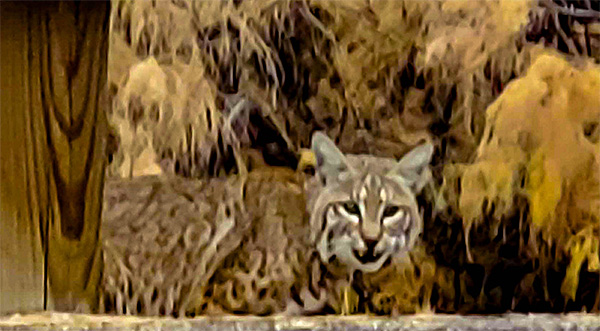 A rare bobcat sighting greeted Wendy as she headed down the Bush Highway to the trailhead. [photo by Wendy] |
|
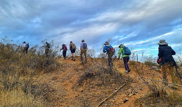
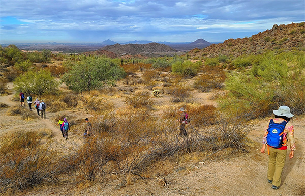
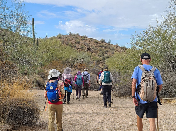
The Bush to Magic Mountain hike was the introduction to this jewel of the desert for many of the ten Trailblazers who joined up. We hiked in the Hawes Trail System on the west facing slopes of the Usery Mountain chain at the northern edge of East Mesa. In this trail system, there are many social trails and relatively few trail intersections have signs. To prevent anyone from taking the wrong path up or down too far, the lead hiker and the sweep hiker kept in line-of-sight distance as much as possible throughout the trek. |
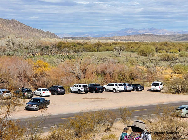 The unnamed parking pullout. [photo by Wendy] |
|
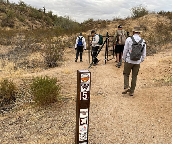
What began as primitive area trafficked by native hunters, miners, and wild horses, is now a challenging trail system, trafficked by bicyclists, hikers, and wild horses. In addition to the human and animal trails that existed before the mountain bikers discovered this playground, there are many fine trails that have been laid out by the bikers. Check out their website and perhaps consider a donation, You will also find the best map I have found for the trail system on this site. The unnamed trailhead is across the road from the unnamed parking pullout. |
 Unnamed trailhead main gate. [photo by Quy] |
|
There is a man gate at the entrance to the unnamed trailhead. The Hawes Trail signs list the sponsors of the trail system. We owe these rough and tumble thrill seekers debt of gratitude for the network of trails we have now and what is about to be opened. As with many trails we hike, there are some special hazards we must navigate when we hike bike paths, the V shape of bike trail ruts, the fine granite marbles that seem to appear magically on every surface of the trail, the chance that a bike will come over the hill or around the corner going way too fast and perhaps airborne. The good news for us tall guys. On their rides the bikers are taller, so there is plenty of overhead clearance free of thorny tree limbs and bushes. Also, there are very few switchbacks and a lot more rollercoaster. For this lollypop hike, a loop with an in-and-out side trip, we cross the highway via an unmarked gap in the guardrails. We pass through a man-fence gate, and we are on the Maricopa Trail. |
 Red Mountain is veiled with shadows as the sun rises. [photo by Lin] |
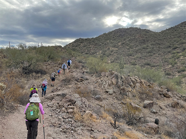
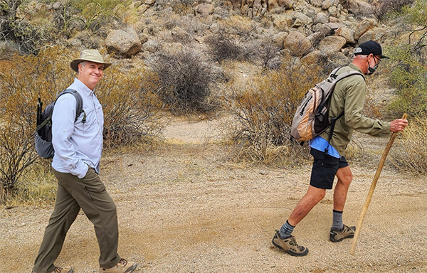
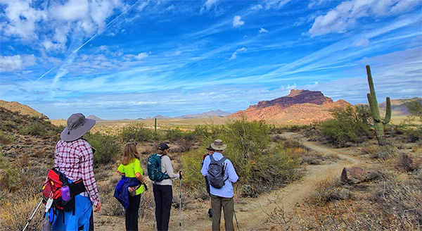
 We’re off! [photo by Lin] |
|
After introductions we are off, up the edge of the foothills at the north end of the mountain chain. We hit a steep slope a few yards in. Within the first 140 yards, our breathing rate has spiked, we begin to heat up, and our outer layers begin to come off. |
 Granite Reef Dam, the Arizona Canal, and Camelback Mountain. [photo by Wendy] |
|
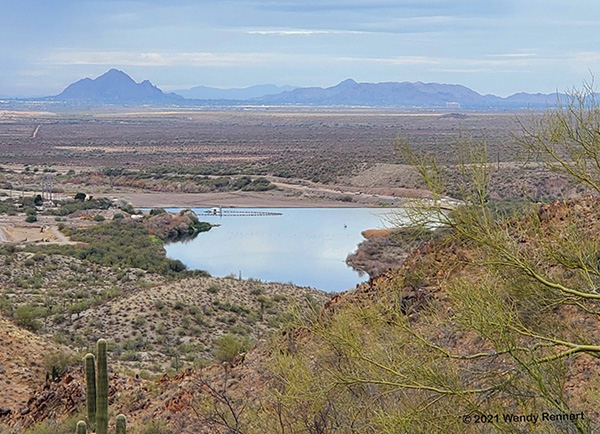
As we ascend the first pitch, the Mine Trail, we get a clear view of the Granite Reef Dam and the origin of the Arizona Canal. Camelback Mountain rises above the horizon. |
 Salt River Valley. [photo by Lin] |
|
We gain altitude quickly and, as the clouds part, we pause to survey the Salt River Valley. |
 Vintage biplane overflight. [photo by Wendy] |
|
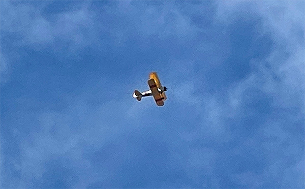
We are in one of the approaches to Falcon Field, a few miles to our west, and we get some interesting air traffic. Our proximity to the Boeing Apache helicopter plant also can add some combat ready sky stallions to the airborne mix. |
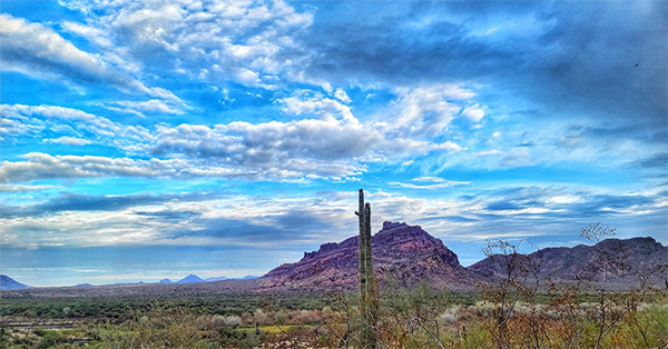
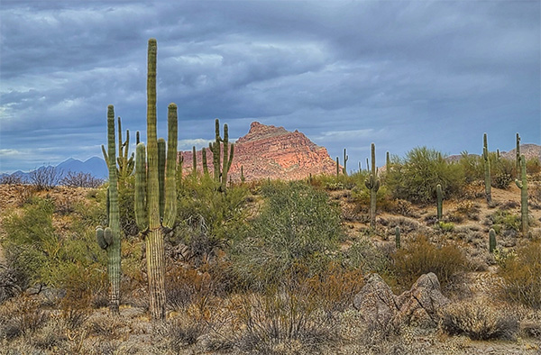
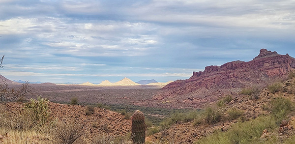 Red Mountain and the Pyramids of the Valley. [photo by Lin] |
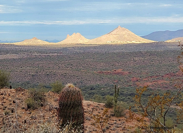 A close-up view of the Pyramids of the Valley, having been so named by John on this very day. [photo by Wendy] |
|
Sometimes the plainest peaks are spotlighted though a window in the clouds and arrayed in golden sunlight, casting shade on even our magnificent Red Mountain. |
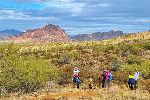
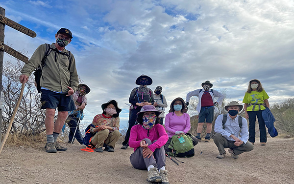 Our group shot. [photo by Quy] |
| Bud, Wendy, Angel, Mimi, Quy, Trish, Lin, John, Randall, Kim |
|
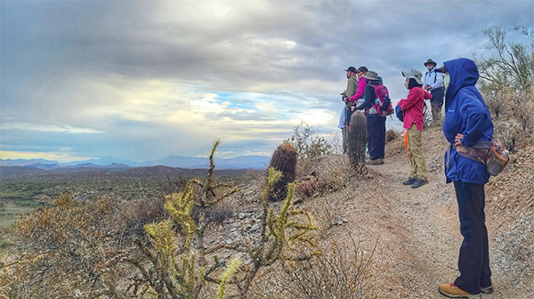
Hoping for a momentary coincidence of better light and a spectacular view, we delayed our customary group photo. When we reached the Mine Shaft turnoff, we decided to take the shot. This point is the intersection of the Mine Trail, the Twisted Sister Trail that goes north over the ridge to a valley upstream, and our next pathway, the Saguaro Trail. |
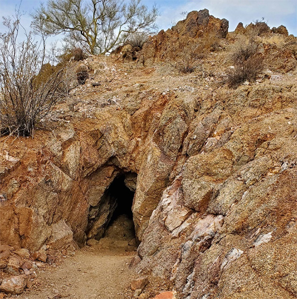 The mine shaft. [photo by Wendy] |
|
The mine is at the top of a white quartz veined peak within the Usery massif. We can look into the mine shaft, but it is not wise to enter the darkness within. Sharp eyes will find at least two other entrances into the digs along the trail that have been caved in and filled in for safety. |
 Our trail ascends the slope on the right. [photo by Quy] |
|
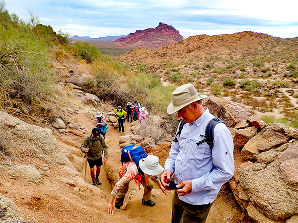
We drop into the canyon beyond the mine and then we begin our ascent on the Saguaro Trail, Saddle Trail, Secret Trail, Upper Secret Trail, and the Magic Mountain Trail, to the ridgeline at the horizon of the trail system. We find a good place to stop for lunch in the next mile or so. The sun comes out and we appreciate a bit of shade while we dine. |
 I catch all my group in one shot. [photo by hike leader John] |
|
I led up this part of the trail, the Secret Trail, so I could photograph my entire team, Randall, Angel, Bud, Wendy, Kim-in yellow, Lin-in pink, Quy-in rose red, Mimi-in grey, and Tish-in white. This is one of two pitches on the Secret trails, that are challenging enough to earn this hike a C+ rating. |
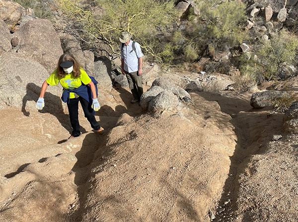
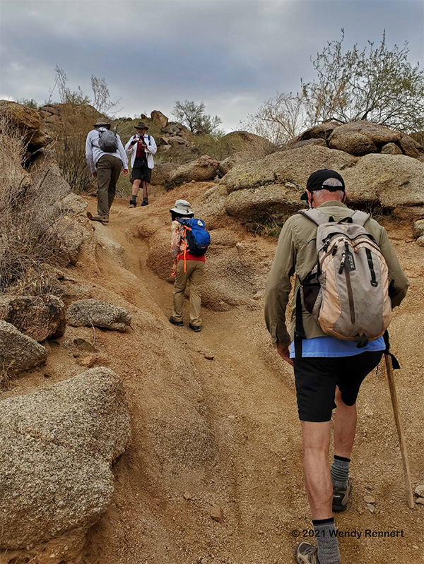 On the rough pitch, Secret Trail. [photo by Wendy] |
|
From her spot on the trail, Wendy’s photo shows John at the top and shows more detail about the condition of this trail. The tough pitches on the Lower Secret here, and the other one ahead on the Upper Secret, share the same unique restrictions; bicyclists can only descend, and hikers can only ascend. Speaking for the hikers, going down slope on this ball bearing surface, can instantly send you skidding down on the pea gravel and bouncing off of the granite. |
 Shifting cloud patterns. [photo by Lin] |
 Randall and Bud in full stride. [photo by Lin] |
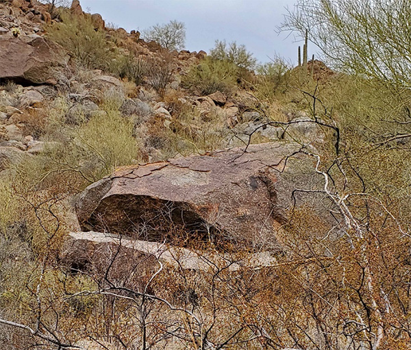 The Hawes Trail Whale. [photo by Wendy] |
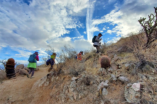
 The Upper Secret Trail. [photo by Quy] |
|
The tough pitch on the Upper Secret has a blind curve. Kim took my advice regarding comfort and safety on such conditions. Foregoing trekking poles, she chose the alternative that I suggested, some sturdy gloves. |
 Climbing the stairway to Hidden Canyon. [photo by Wendy] |
|
At the top of the ridge, we took the Magic Mountain Trail to the intersection with the Saddle Trail. Before we turned down the Saddle trail, we took a side trip the up the Saddle Trail to see over the saddle into Hidden Canyon. This small box canyon is the site of some truly remarkable homes in the premiere Las Sendas gated community. We have no photos of those elegant estates. My crew took my advice about good hiker discretion regarding private property along our trails. We should, as always, stay on or near the trail and be discrete when viewing or photographing privacies, no matter the altitude or the cost per square foot for the properties. In this case, rumor has it that some of the Hidden Canyon homeowners, former and current professional athletes, are capable of running a 4.4, or even better when angry. |
 On the down grade, at last. [photo by Lin] |
|
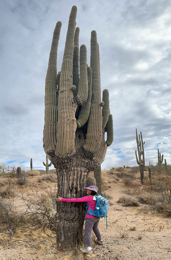
We leave the ridge and the sun exposure behind and follow some water courses down into the wilderness. This is the region of the trail system most likely to see wildlife. We will see some unshod horse hoofprints but are not likely to see wild horses. They spend daylight hours further east upriver. As we descend on the Saddle Trail, Upper Ridge Trail, Ridge Trail, Granite Trail, and at last, the Maricopa Trail, we will pass many saguaros and one giant in particular, a double-trunked cactus. |
 Heading down from the Ridge. [photo by Lin] |
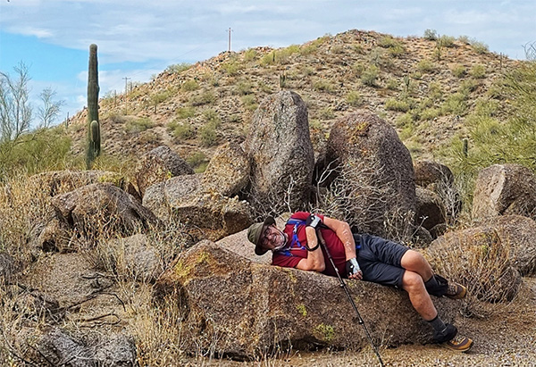 John Takes a break on a cool stone couch. [photo by Lin] |
 An unusual angle for a Red Mountain photo. [photo by Lin] |
 The trail follows a wash for some distance. [photo by Lin] |
|
As we wander through the unmarked sandy streambed of the Upper Ridge Trail, we enter a unique saguaro forest with many fine examples. |
 Not the tallest but surely the densest saguaro. [photo by Quy] |
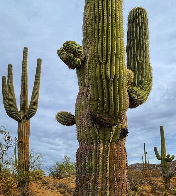 A fascination, a cancer like growth abnormality bulges from the trunk. [photo by Lin] |
 Such outgrowths can result in a deformity called a crest. [photo by Lin] |
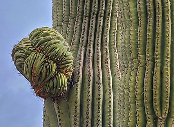
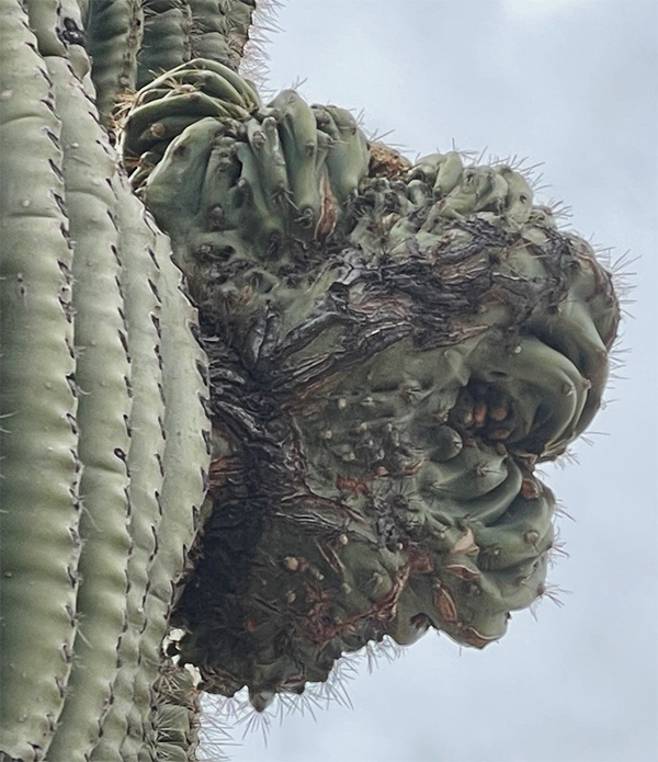 Even this fascination has a dark side. [photo by Quy] |
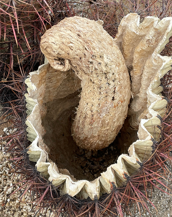 A mortar and pestle perhaps? [photo by Quy] |
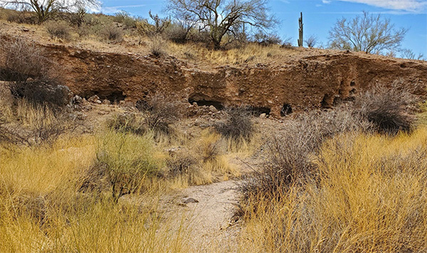 Golden bush carpet at the portals of tiny cliff dwellings. [photo by Wendy] |
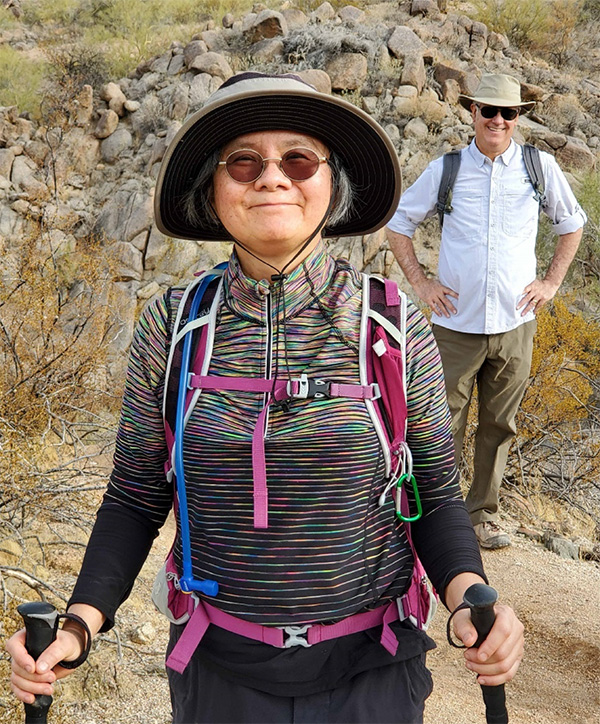 Mimi is in rainbow camouflage, not gray! [photo by Wendy] |
 On the Granite trail. [photo by Lin] |
|
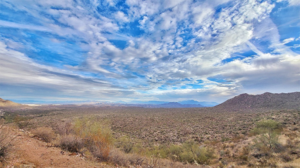
As we approach the unnamed trailhead on the Granite Trail, we entertained by a stunning and ever-changing view of the cloudscape, Red Mountain, and the beautiful Salt River Valley. If you do visit the unnamed trailhead, check out the downriver views there, or go upstream to the Blue Point bridge and have a look at the riverside where the wild horses congregate. Be aware, if you leave your vehicle for any length of time, you should display on your dash a Tonto Pass, or Senior Pass, etc. for the parking areas that are so posted. → More pictures, by Lin.→ More pictures, by Quy. → More pictures, by John. |
 Top of Page
Arizona Trailblazers Hiking Club, Phoenix, Arizona
Comments? Send them to the AZHC .
updated February 15, 2021