Outdoor Links
Hike Arizona
Trip Planning Guide
Trip Report Index
Calendar of Events
Library
|
Pima Canyon Trail Day Hike Santa Catalina Mountains, Tucson March 14, 2020 by Chuck Parsons |
|
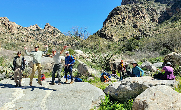
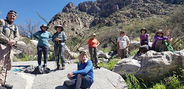
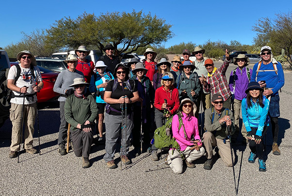 22 Arizona Trailblazers gather at the Pima Canyon Trailhead. [photo by Mohammed] |
||||||
|
||||||
|
The time is 9:01 AM on a beautiful sunny morning in mid-March, as 22 Arizona Trailblazers converge on the Pima Canyon Trailhead in the foothills of the imposing Santa Catalina Mountains looming to the north of greater Tucson. Today’s Pima Canyon Trail will be a new exploratory hike for the Trailblazers. This hike was featured as the “Hike of the Month” in the February issue of Arizona Highways and is described by the magazine as “a lush desert portal into the alluring Santa Catalina Mountains.” |
||||||
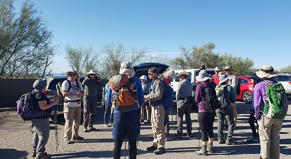 Trailblazers gather in a circle for a round of introductions. [photo by Lin] |
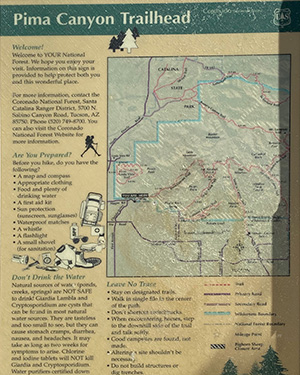 This sign greets us at the Pima Canyon Trailhead. [photo by Mohammed] |
 This sign also greets us at the trailhead. [photo by Jeanne] |
|
Who among us hikers can resist such a tempting invitation? Certainly not this motley crew of bright-eyed and bushy-tailed Arizona Trailblazers, most of whom crawled out of their warm beds between 4 and 5 this morning to do the hike. |
 Trailblazers have successfully transitioned through the portal. [photo by Kevin] |
|
After gathering up our gear for the hike, we all form a tight circle for a quick round of introductions and an accurate head count. Yup, still 22 hikers. We haven’t lost anyone yet during the long journey from the Phoenix area. My primary responsibility today is to simply return to the trailhead at the end of the hike with this same group of 22 hikers—intact, uninjured, and hopefully still bright-eyed and bushy-tailed. Actually, I’m not even sure what that means, but how easy can this be? If we pick up a few extra hikers along the way, that’s considered an added bonus and perhaps a few more future members. Next, we queue up for the all-important group picture to prove that we were all here on this spot on this day to hike the Pima Canyon Trail. |
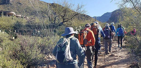 Trailblazers charge down the Pima Canyon Trail. [photo by Lin] |
 Tucson slowly recedes behind us in the distance. [photo by Jeanne] |
 Interesting backlighting outlines the giant saguaros. [photo by Li] |
|
During the previous three days before this hike I wasn’t any too sure that we would be hiking at all today. A major winter storm was slowly sweeping across Arizona, and from Wednesday thru Friday soaking the southern part of the state with up to four inches of rain in some areas. By the end of the day on Friday I had just over three full inches of rainwater in my rain gauge in north Phoenix. I was finally able to contact one of the rangers in the Santa Catalina Ranger District on Friday morning to get an update on weather conditions in the Tucson area. He assured me that Pima Canyon was a much smaller drainage than neighboring and much larger Sabino Canyon, and that Pima Creek didn’t carry nearly the volume of water that Sabino Creek often does. |
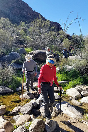
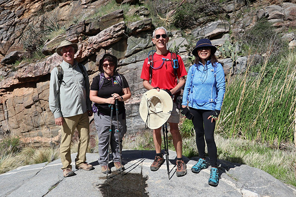
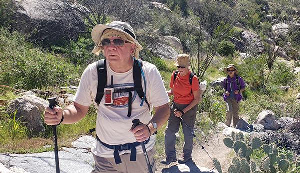
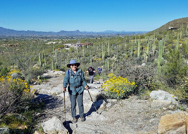 Gail, Tamar, and Ralph make their way up the rocky Pima Canyon Trail. [photo by Tom] |
 Tom and Li pause for a few seconds on the trail. [photo by Kevin] |
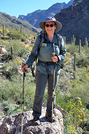
 Sharon, with Tucson sprawling below her in the distance. [photo by Jeanne] |
 Kevin and Li, surrounded by blooming brittlebush. [photo by Tom] |
|
That being the case, I decided to go ahead with the hike as planned, suggesting that everyone bring a pair of sandals or water shoes with them just in case we have a few deeper crossings to navigate. Group picture out of the way, we head for the far east corner of the Pima Canyon Trailhead parking lot and after about a hundred feet of hiking pass through a short tunnel and continue up the trail. A barbed wire fence on our left marks the boundary for private property, and the next 2,000+ feet of trail meanders between large private homes. |
 This giant saguaro stretches for the sky. [photo by Ralph] |
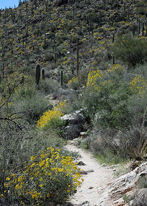 Pima Canyon Trail meanders through brittlebush. [photo by Kevin] |
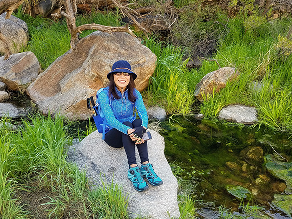
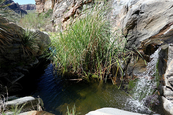 A mini oasis along Pima Creek. [photo by Kevin] |
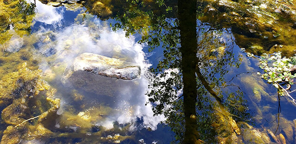 Beautiful reflection shot, captured by Lin. [photo by Lin] |
|
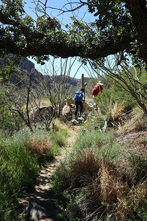
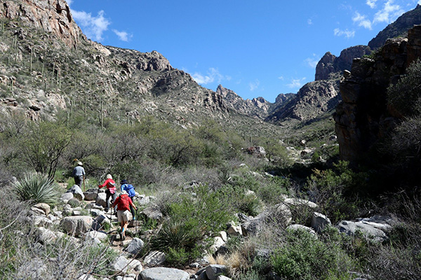
From a relatively level start, the trail begins to ascend the south face of Pusch Ridge, gently and then more aggressively as it climbs over rocks and boulders, increasingly gaining elevation as we push forward. Shortly beyond the privately owned land, as the trail begins climbing in earnest, we enter the Coronado National Forest and soon afterward the Pusch Ridge Wilderness, 60,000 acres of some of the most rugged and pristine wilderness lands left in the western states. |
 Mohammed and Lin ham it up for the camera. [photo by Mohammed] |
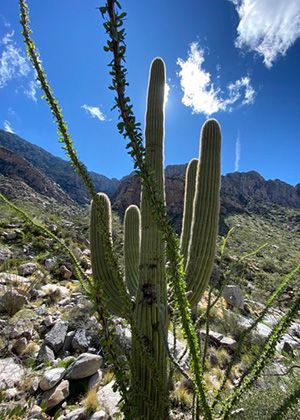
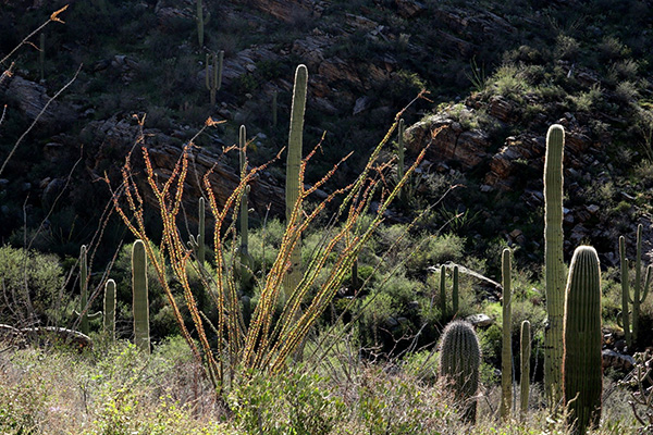 This beautifully backlit ocotillo stands out near the trail. [photo by Kevin] |
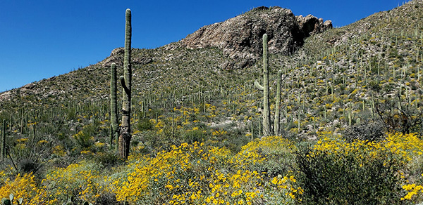 Brittlebush, in full bloom, covers the hillsides along the trail. [photo by Lin] |
 Tom and Li make their way up Pima Canyon. [photo by Kevin] |
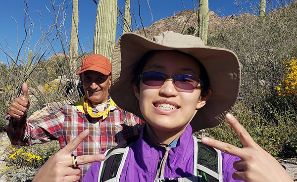
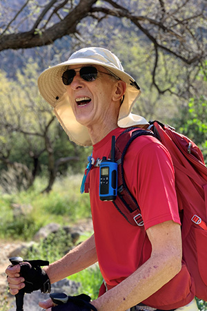
 Mohammed gives the thumbs up for this trail. [photo by Mohammed] |
 Jade and Mohammed both give their approval. [photo by Lin] |
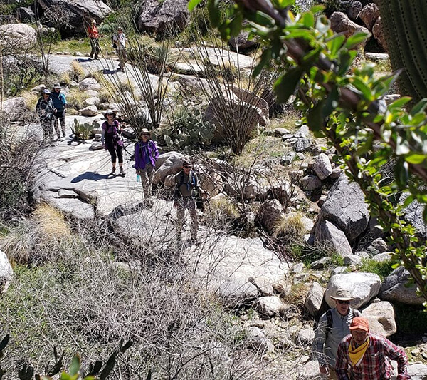 Trailblazers make their way across an expanse of slickrock. [photo by Lin] |
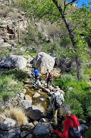
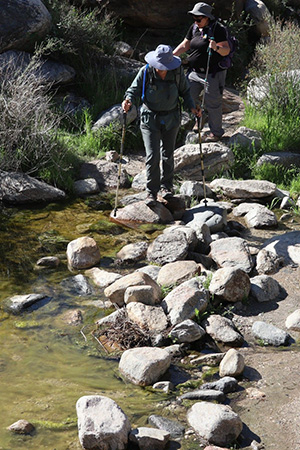 Gail and Tamar make one of the first creek crossings. [photo by Kevin] |
 Next up: Billie and Neil. [photo by Tom] |
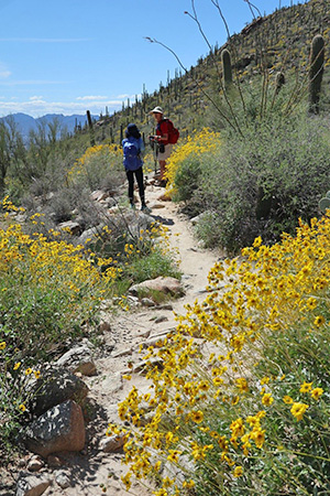
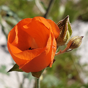
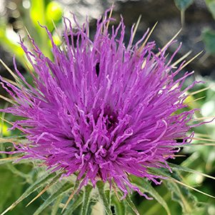
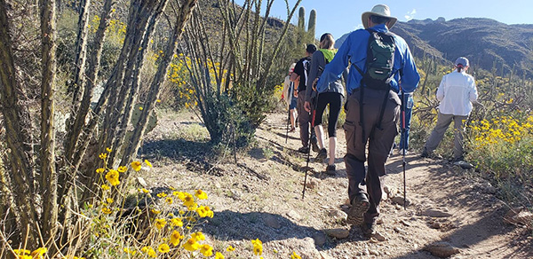
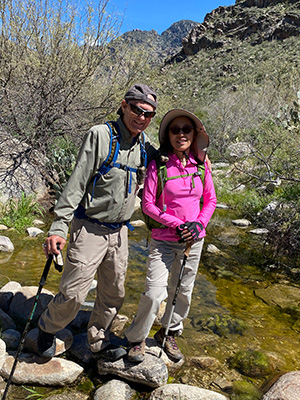 Carl and Lin pose at Pima Creek. [photo by Mohammed] We continue climbing through typical Lower Sonoran Desert vegetation of giant saguaros, covering the hillsides surrounding the trail, prickly pear and barrel cactus, cholla, catclaw, ocotillo, mesquite, palo verde, and thousands of blooming brittlebush covering the hillsides in a sea of bright yellow. With the abundant rainfall and warming temperatures as spring approaches, millions of long-dormant seeds have germinated and given birth to tens of thousands of colorful wildflowers, both alongside the trail and carpeting the hillsides, including California gold poppies, blue lupine, globemallow, foxglove, fleabane, desert chicory, Russian thistle, penstemon, and desert bluebells. And the best is still yet to come, as the desert continues to warm up. Roughly 100 desert bighorn sheep inhabit the western Santa Catalinas and the Pusch Ridge Wilderness area, but they are extremely elusive animals and very hard to spot most of the time. Although they’re probably watching us from some of their favorite rocky outcroppings high above the trail and wondering just what the heck we humans are up to, as we hike deeper into their territory, they blend in so well with their surroundings that very few people ever spot them. Unfortunately, today turns out to be no exception to that general rule. As we gradually climb higher on the trail, the city of Tucson sprawls out far below us and seems to stretch all the way out to the far horizon. With its increasing population, Tucson is definitely a city on the move. |
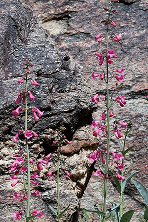 Foxglove. [photo by Kevin] |
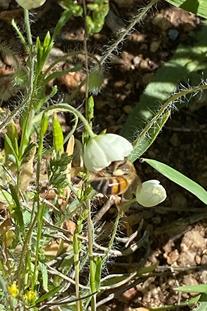 A busy bee is working this flower. [Mohammed] |
 Globemallow. [photo by Lin] |
 Russian thistle. [photo by Lin] |
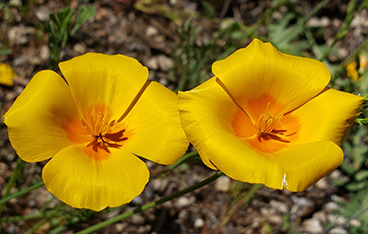 Gold Poppies. [photo by Lin] |
 ? [photo by Lin] |
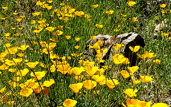 California gold poppies. [photo by Lin] |
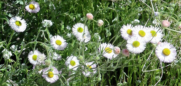 Fleabane. [photo by Kevin] |
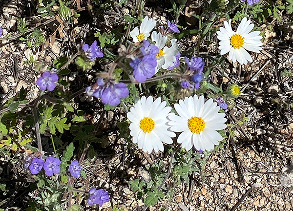 Desert bluebells and Mojave Desertstar. [photo by Mohammed] |
 Mariola. [photo by Lin] |
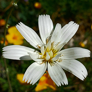 Desert chicory. [photo by Lin] |
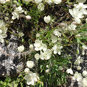
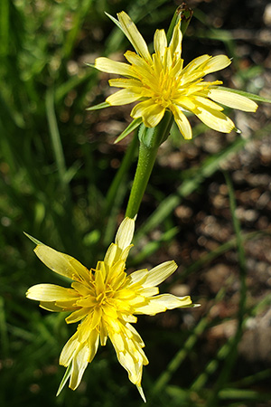 Silverpuffs. [photo by Lin] |
 Fleabane. [photo by Lin] |
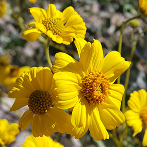 Brittlebush. [photo by Lin] |
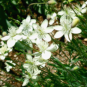 Mariola. [photo by Lin] |
|
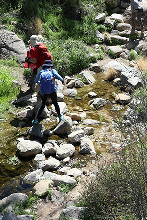
After about a mile of hiking, the trail begins to drop sharply into the creek bed. Normally dry for most of the year, after recent desert rains Pima Creek is flowing peacefully along, just inches deep in most places, with placid deep pools of clear water along the way. The trail gently swings back and forth across Pima Creek at least six times, which could be a real challenge with enough running water, but fortunately for us we’re able to easily navigate our way across the large boulders in the creek bed at each crossing without getting wet. Eventually, the trail parallels a lush and green riparian area along the creek bed, with towering cottonwood and sycamore trees, mixed with large oaks, lining the creek and framed by towering cliffs. |
 Making one last creek crossing. [photo by Tom] |
 Be careful there, Li! [photo by Kevin] |
 Trailblazers continue to blaze a trail up Pima Canyon. [photo by Kevin] |
 Randall, Billie, Neil, Gail, and Tamar pause for a quick break. [photo by Tom] |
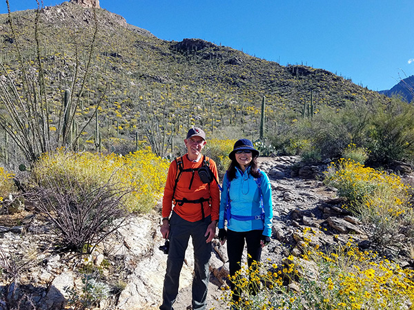
 Randall, Tamar, Tom, and Li stop for a picture. [photo by Kevin] |
 Li is a picture of sheer contentment. [photo by Tom] |
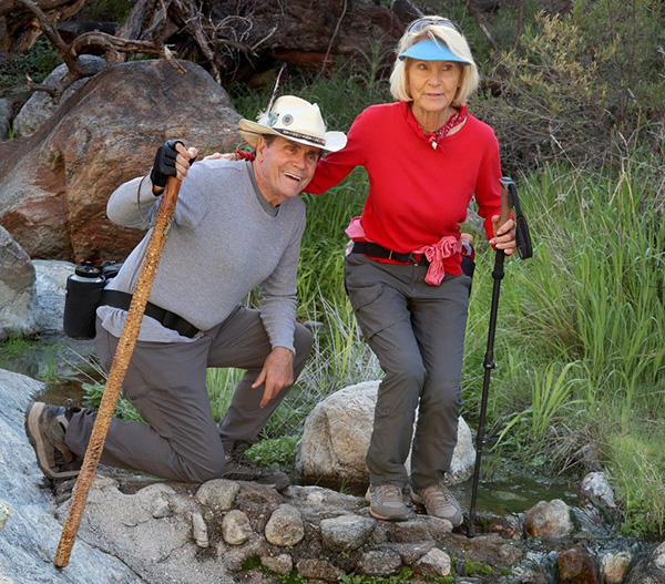 Neil and Billie decide on their next move. [photo by Kevin] |
|
The trail parallels Pima Creek for nearly two miles, as it steadily continues working its way up the canyon. Although not so much of an issue with today’s cooler temperatures, the shade provided by nature’s canopy of tall trees would certainly be a welcome relief on warmer days. This stretch of trail along Pima Creek is actually one of the most scenic along the lower section of the Pima Canyon Trail. Even as the morning gradually begins to warm up and we start shedding a layer or two, the shade and occasional cooling breezes make for very comfortable hiking. After a couple of miles of scenic and very pleasant hiking along Pima Creek, the trail gradually veers away from the creek bed and begins climbing once again, as the canyon begins to open up into wider and more expansive views. |
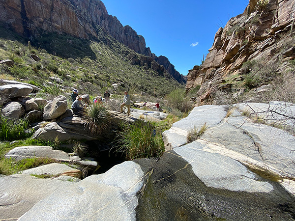
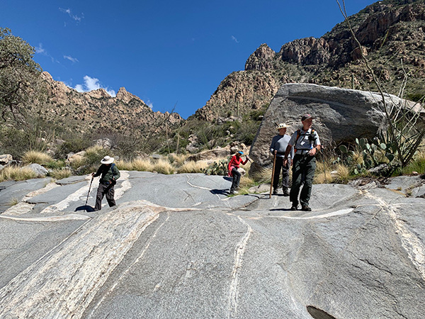 A large expanses of slickrock mark this section of the trail. [photo by Li] |
|
We eventually come across a large expanse of flat slickrock with what appears to be numerous ancient metates, once used for grinding corn by the Native Americans living in this area many centuries ago. Without a continuous water flow in the creek, life here must have been very tough and challenging. But perhaps the climate was very different back then. |
| A Rogue’s Gallery of Pima Canyon Hikers: |
 Tom. [photo by Li] |
 Lin. [photo by Kevin] |
 Kevin. [photo by Li] |
 Gail. [photo by Kevin] |
 Terry. [photo by Kevin] |
 Li. [photo by Kevin] |
 Randall. [photo by Li] |
 Tamar. [photo by Kevin] |
|
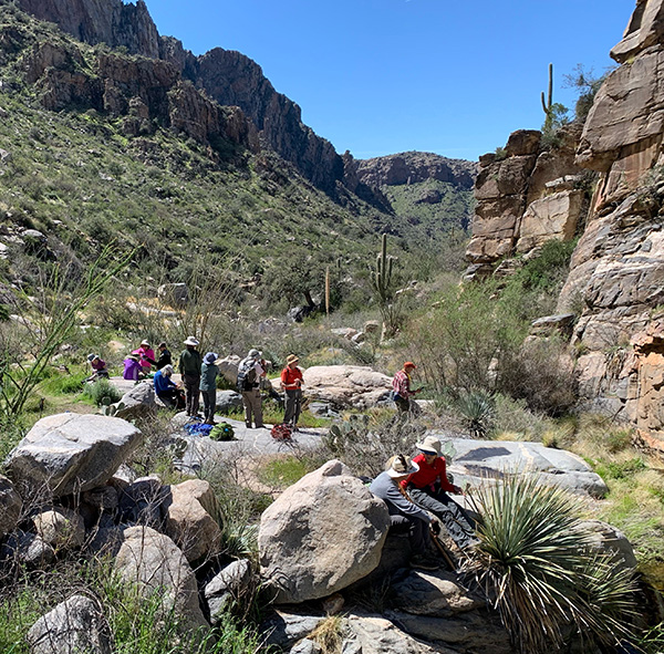
As we continue to make our way farther up Pima Canyon, we encounter several more large expanses of slickrock, before finally reaching Pima Canyon Dam, which will be our turnaround point. This dam was built by the Arizona Game & Fish Department in the mid-1960s to provide a more permanent water source for the resident bighorn sheep and other wildlife in the area. It has since been largely abandoned and replaced by several newer dams or tanks in the Santa Catalinas. |
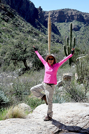
 Trailblazers are jumping for joy. [photo by Lin] |
 Chuck, Barb, and Jade bring up the rear. [photo by Lin] |
|
But, as seen in the following pictures, the dam still holds water after large rainstorms and continues to serve as a water source for local wildlife. We stop here and spread out on the rocks for a well-deserved lunch and rest break. |
 Taking a lunch break near the dam. [photo by Lin] |
 What a beautiful location for lunch! [photo by Li] |
 Another view looking down Pima Canyon. [photo by Mohammed] |
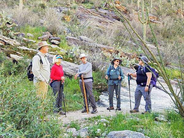
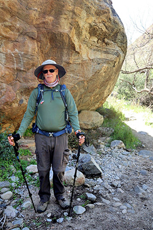
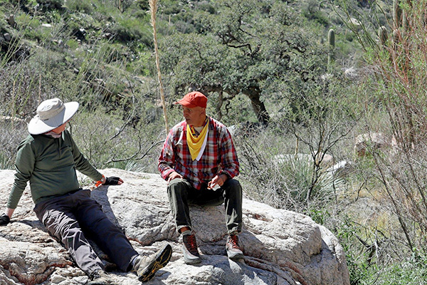 Terry and Mohammed, deep in discussion. [photo by Kevin] |
|
After lunch Tom, Li, Tamar, Terry, Billie, Neil, and Kevin decide to explore farther up the canyon, while the rest of us start heading back down Pima Canyon and back to the trailhead. I keep in contact with Tom on our radios, and after another mile of hiking his group turns around to rejoin us. |
 Pima Canyon Dam. [photo by Mohammed] |
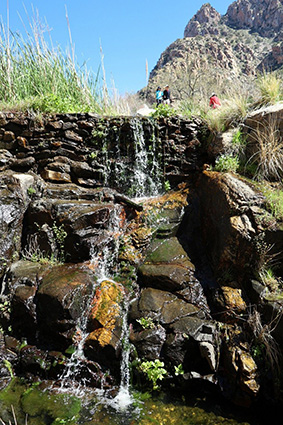 Close up shot of the dam. [photo by Kevin] |
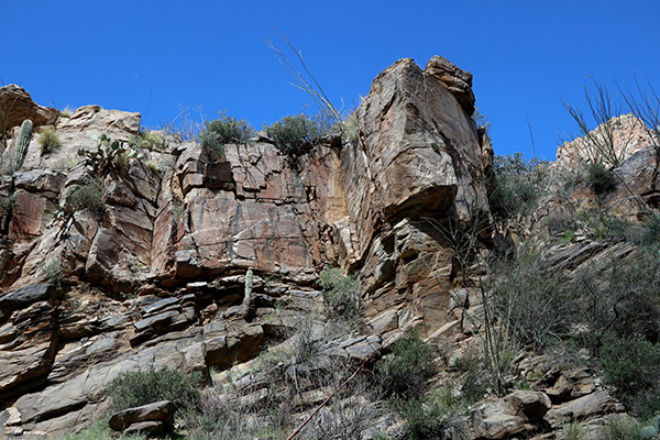 Colorful rock formations loom high overhead near the dam. [photo by Kevin] |
|
Just as I suspected, Tom and his group of ultra-fast hikers eventually catch up with the rest of us before we even make it back to the trailhead. We all arrive safe and sound at the Pima Canyon Trailhead by 2:00 PM. The temperature is a comfortable 72 degrees. |
 Trailblazers start hoofing it back to the trailhead. [photo by Lin] |
 Tucson starts to come into view once again. [photo by Kevin] |
 We’re almost there now. [photo by Lin] |
 Eleven famished Trailblazers at the El Charro Café in Tucson. [photo by Mohammed] |
 Lunch is served! [photo by Mohammed] |
|
Part of the group decides to head back to the Phoenix area, while the rest of us stop for a late lunch at the El Charro Café on Oracle Road, just a few miles from the Pima Canyon Trailhead. Unfortunately, due to a communication foul-up on my part, several of our hikers wind up at the original El Charro Café on Court Ave. My apologies for that. It turns out there are now actually three El Charro locations in Tucson. Anyway, it’s been a great day for an exploratory hike on the Pima Canyon Trail in the Santa Catalina Mountains, north of Tucson. Thanks to everyone for turning out. Hike Stats:6 to 8 miles completed. 1,500' of total elevation change. Total time on trail: 4 hours and 45 minutes. |
 Top of Page
Arizona Trailblazers Hiking Club, Phoenix, Arizona
Comments? Send them to the AZHC .
updated March 22, 2020