Outdoor Links
Hike Arizona
Trip Planning Guide
Trip Report Index
Calendar of Events
Library
|
Mint Spring/Marshall Gulch/Aspen Loop Tucson September 22, 2018 by Tamar Gottfried |
|
|
||||||
|
||||||
|
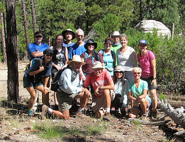
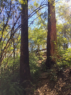
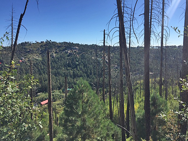
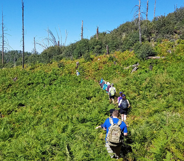
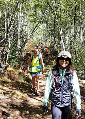
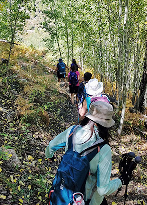
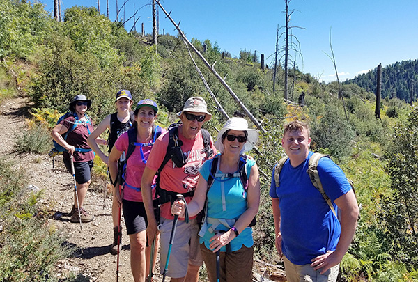
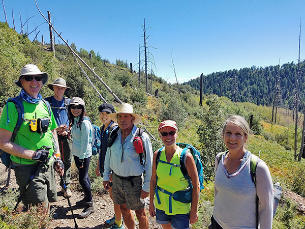
14 Trailblazers and guests met up early, cruised to Tucson to meet at the crossroads of Tanque Verde and Catalina Highway (home of McDonald’s and a wonderful coffee shop called Le Buzz), and caravanned up the highway, a slow 30 miles to the town of Summerhaven. It is always nice to watch the temperatures drop and the elevation rise on the way up as we have scenic views and nail-biting encounters with groups of road bikers. We turned off on the road that dead ends in the parking for the trail and were delighted to find that, unlike the Marshall Gulch parking lot, we were the only ones there. The hike started with a minimally-groomed ascent through ferns and aspens, with sweeping views of Summerhaven and the surrounding areas. After a little over 2 miles we reached the Marshall Saddle, where we took a little break before continuing on the Marshall Gulch Trail. |
||||||
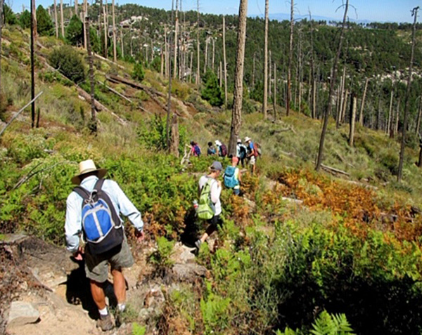 Merrily, merrily, down the trail we go. [photo by Bill] |
||||||
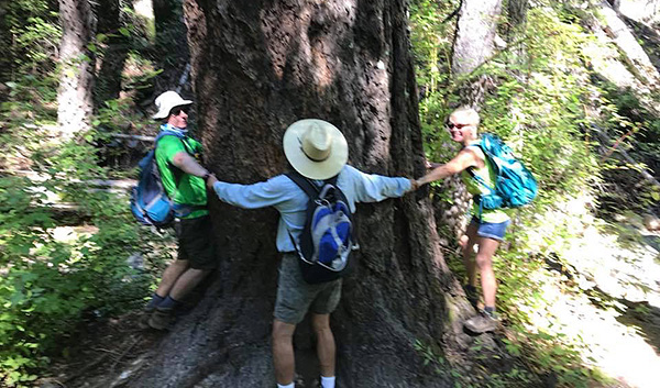 This is the way you hug a tree. [photo by Janet] |
||||||
 Ferns grow high along the trail. [photo by Janet] |
 Into the woods. [photo by Li] |
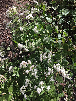 Flowers line the trail. [photo by Li] |
 Tamar leads the way. [photo by Li] |
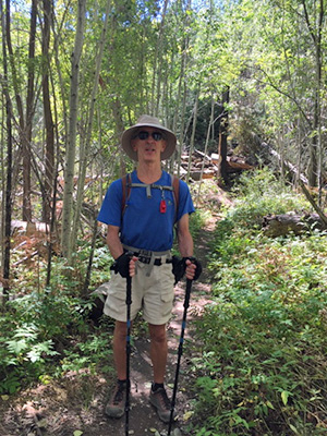 Tom amid the ferns. [photo by Li] |
|
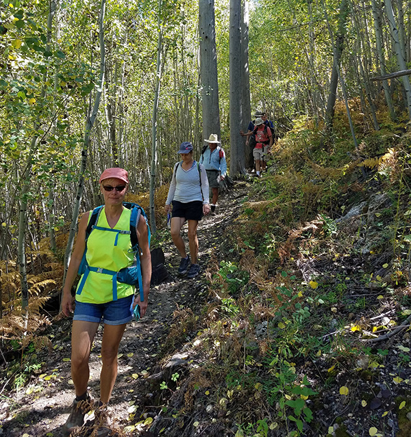
Marshall Gulch is a trail some of us had already done this summer, the last leg of our trip down from the summit through Wilderness of Rocks. However, it is a totally different experience to take this beautiful verdant trail in the morning, fully energized than in the late late afternoon after 8 miles of hard hiking. A few of us who had done this hike in August, 2015, also noted the lack of flowing water in comparison to 3 years ago. In 2015, we had multiple long water crossings that added almost an hour to our hike time. Today, we flew down to Marshall Gulch in no time and were ready for lunch by 11 AM. |
 Plenty of trees, some burned. [photo by Li] |
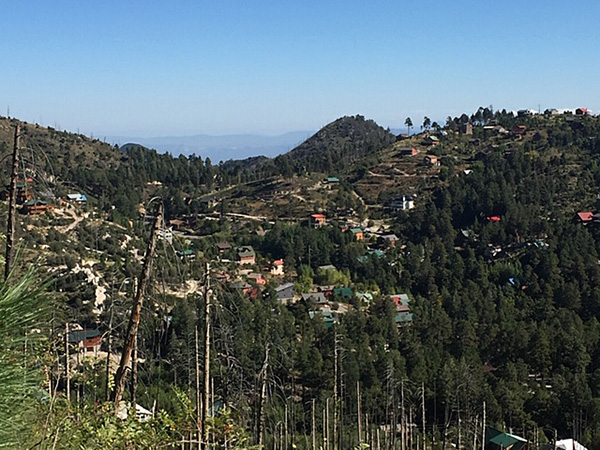 Summerhaven. [photo by Li] |
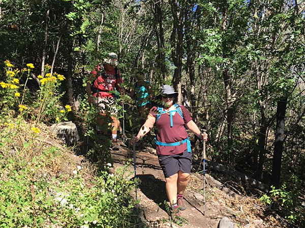 Tamer leads the way. [photo by Li] |
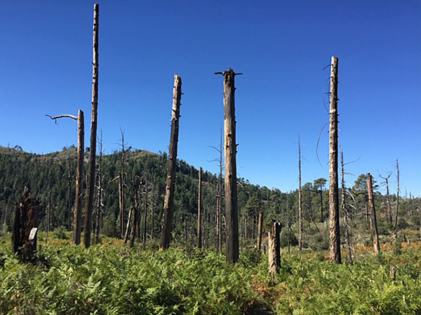 There’s been a fire. [photo by Li] |
|
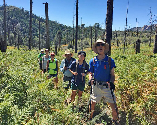
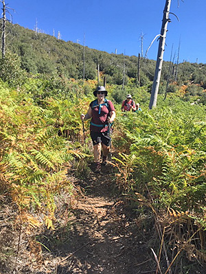
After a 30 minute picnic table rest at the recreational area, we hit the Aspen trail. This was quite a wake up with a steady steep ascent for several miles, which was rewarded with panoramic views. We eventually reached the Marshall Saddle again and took the Mint Springs Trail, with its changing aspens, back to the trailhead. |
 Trailblazers on the march. [photo by Tom] |
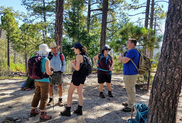 Let’s talk this over before we go on, [photo by Tom] |
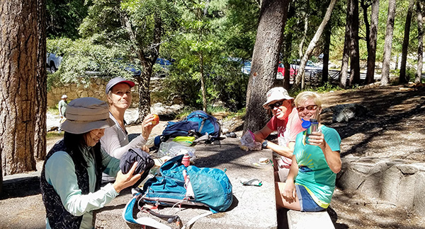 What a fine picnic! [photo by Tom] |
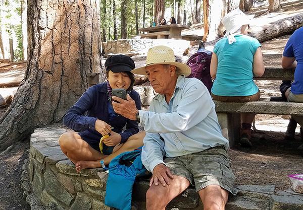 You can see it here on the screen. [photo by Tom] |
 Li leads the way. [photo by Tom] |
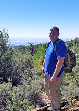 Chris enjoys the scenery. [photo by Tom] |
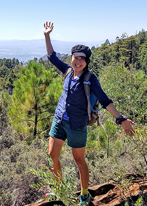 This is the life, Moé! [photo by Tom] |
 Onward! [photo by Tom] |
 We’ve come a long way. [photo by Tom] |
 Are we there yet? [photo by Tom] |
 One step at a time. [photo by Tom] |
|
After a nice break to change shoes, clothes and enjoy cool beverages, we all meandered down the mountain back to Tucson. As we were less than impressed with our previous trips to the sit down restaurants on the mountain, we tried a new restaurant—Eclectic Café. We were quite happy with the service, food selections and tastes of this little gem. With tired muscles and full bellies, we headed back to the valley and were home by early evening. |
 Top of Page
Arizona Trailblazers Hiking Club, Phoenix, Arizona
Comments? Send them to the AZHC .
updated September 27, 2018