Outdoor Links
Hike Arizona
Trip Planning Guide
Trip Report Index
Calendar of Events
Library
|
Horse Lake Day Hike Flagstaff June 2, 2018 by David French |
|
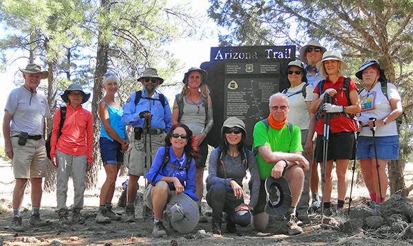 Dave, Gabe, Ramona, Jim, Heather, Debbie, Li, Terry, Barbara, Dwight, Deirdre, Laurie |
|
This hike was designed to fill a gap I had in my quest to hike as much of the Arizona Trail as possible on a day hike basis. A few years ago, I had gone on a Ted Tenny led hike from Marshall Lake (the north end of passage 30), southward onto Anderson Mesa. Dark clouds and potential lightening had us turn around after a couple of miles on the mesa. So this time, I had planned to hike all the way from the Horse Lake Trailhead north on the AZT to the NPOI Perkins Telescope and the AZT trailhead near there. I checked the Coconino NF closure maps and they showed the closure starting at FR 128 which leads to Marshall Lake, but FR 129A which leads to the NPOI telescope is out of the closure area. Unfortunately, the forest service decided to close the road at the turn off from Lake Mary Road, so we could not get to FR 129A. I called the local ranger station and was told that they did not want us to park along Lake Mary Road and hike up the road: it is closed. So we decided to do an in and out hike from the south end starting at the Horse lake Trailhead. Eleven Trailblazers met at the Fry’s parking lot on Bell Road and drove in 3 cars to Flagstaff. Thanks to Jim for getting them signed in and arranging the carpools. I met them at the Circle K on Lake Mary Road just off I-17. We drove the 15 miles or so south on Lake Mary Road to the turn off for Pine Grove Campground (to the right) but we turned left onto an unpaved road that leads to the Horse Lake Trailhead. The road is a little washboardy but passable by all vehicles. |
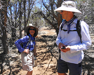
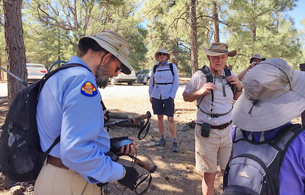 All right folks, let’s get organized. [photo by Li] |
 Horse Lake Trailhead. [photo by Dwight] |
 The AZT is nearby. [photo by Dwight] |
|
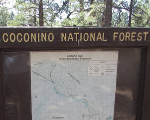
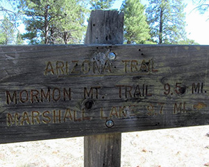
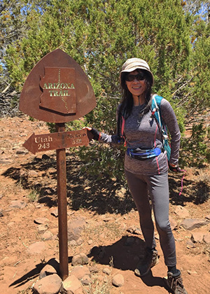
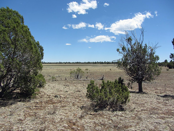
The trailhead has a nice AZT sign and other information about the area. We took a group photo and were on our way. The trail from the trailhead is an access trail to the AZT so in a couple of hundred yards we came to the AZT. A couple of years ago, I had led a hike from there south on passage 30, so I knew to turn right on the AZT to go north (but mainly west). After a quarter of a mile, the trail merged with FR 129A. We followed the road across a flat mesa with some pinon pines and other vegetation but little shade. The road is sort of braided with lots of alternative paths, but they always came back together. I assume the braids were formed when off-roaders encountered muddy areas. No mud today. |
 Northwest on the Arizona Trail. [photo by Li] |
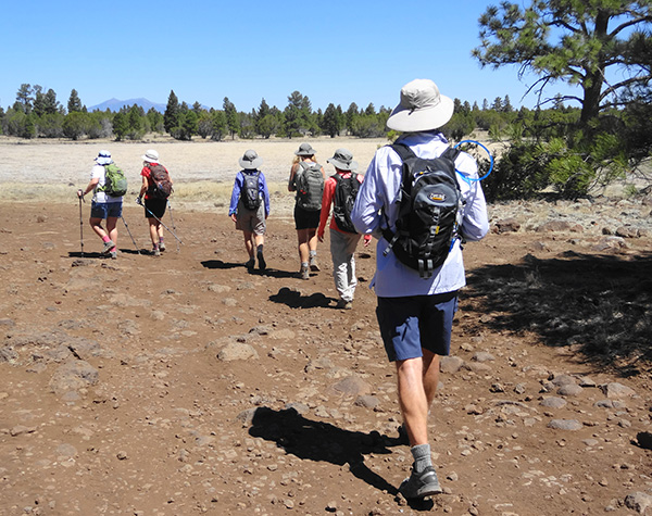 Trudging along on the AZT (FR 129A) toward the San Francisco Peaks. |
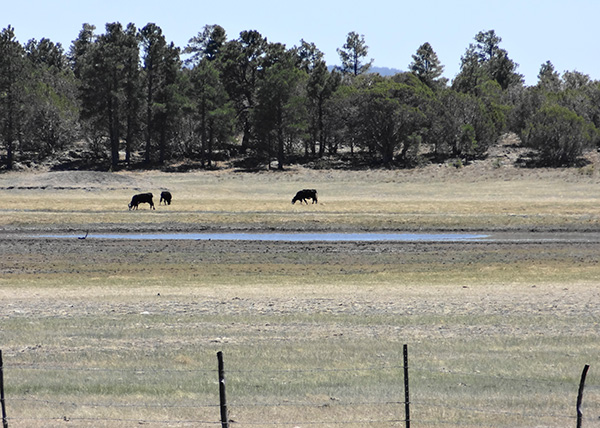 Horse Lake with cows, not much water. Mormon Mountain in the background. |
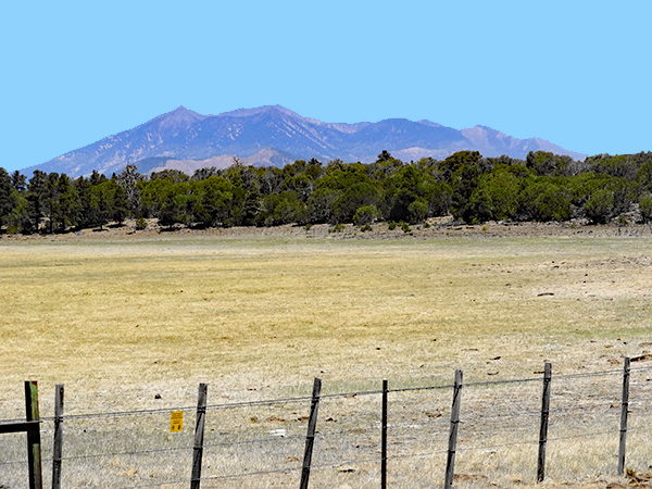 San Francisco Peaks from Horse Lake. |
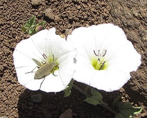 Bugs like those flowers! [photo by Dwight] |
 Heather having fun in the thicket. |
|
A couple of miles in, we passed by Horse Lake, a large meadow with cows, not horses. There was a small pool of water remaining. We also encountered our first views of the San Francisco Peaks in the distance. At about 5 miles in, the trail departed from the road. Four of the hikers decided that was enough and turned back. The remaining eight of us continued on hoping to get to an overlook of Upper Lake Mary. We passed a trail junction with a trail that leads to the Lake View Campground. That appeared to be a good candidate, but I wanted to go a little further to see if we could find the point that Ted led us to a few years ago. So we continued north westward on the trail. Eventually, I tried just hiking across the barren mesa to the edge to see if I could see Lake Mary. No luck, the mesa did not fall off steeply enough and the slope of the mesa is heavily forested. |
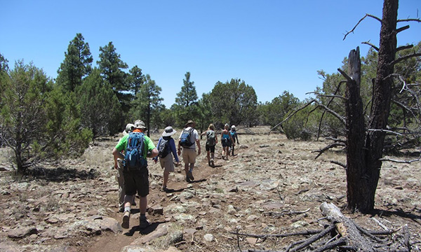 Eight hikers continue on. [photo by Dwight] |
 Methinks somebody has been here before. [photo by Li] |
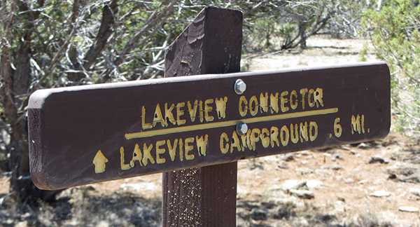 Junction of AZT and the trail to Lakeview Campground. [photo by Dwight] |
 Debbie showing off. |
 Li’s selfie. [photo by Li] |
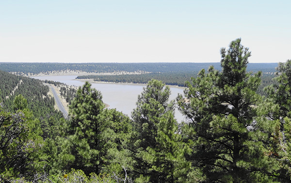 View of Upper Lake Mary. |
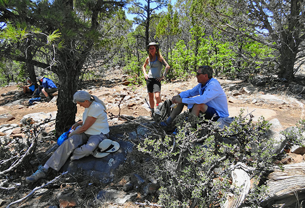 Ahhh, picnic in the shade. |
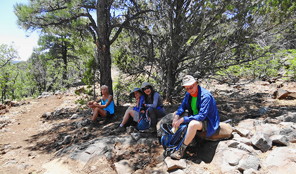 Let’s enjoy it while we’re here. |
 Hey, a few clouds. Pray for rain. [photo by Dwight] |
|
We turned around and went back to the Lake View trail and went south on it a quarter of a mile to a good overlook point and found some rocks and logs to sit on for our snack break. Afterwards we hiked rapidly back along the trail to the Horse Lake Trailhead. The four hikers that turned around earlier were waiting for us, so hikers could get in the right car pools. Six of us went to Taverna Restaurant in Flagstaff for some well-earned happy hour snacks and drinks. We hiked about 13 miles in 5:17 hours with an average moving speed of 2.5 mph. This is not one of the prettiest or most interesting parts of the AZT, but we did it. |
|
Supplemental Report by Jim Buyens |
|||||||||||||||||||||||||||||||||||||||||||||||||
|
Dave, thanks for leading a great hike and everyone else, it was great seeing you again. The hike was generally flat and open but it was a gas walking across a lake! I took the short hike and had to slow down towards the end. Jim |
|||||||||||||||||||||||||||||||||||||||||||||||||
|
|
||||||||||||||||||||||||||||||||||||||||||||||||
 Top of Page
Arizona Trailblazers Hiking Club, Phoenix, Arizona
Comments? Send them to the AZHC .
updated June 7, 2018