
Outdoor Links
Hike Arizona
Trip Planning Guide
Trip Report Index
Calendar of Events
Library
|
Groom Creek Loop Hike Prescott May 13, 2017 by Jim Buyens |
|
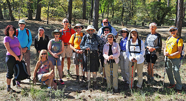 Fifteen trailblazers ready for adventure at Groom Creek Trailhead. [photo by Dave] |
|
I just hate to see a weekend with no Arizona Trailblazers hikes. And yet, one was coming up. I waited and watched for a while to see if any other hike leaders scheduled an event but they didn’t. So finally, with about ten days to go, I scheduled this one. The Groom Creek Loop was my first hike north of Phoenix and the first in a national forest, and will always have a spot in my heart. Now I must’ve done it half a dozen times and it never gets old. And it’s an old club favorite. And because it was so familiar with it, and because timing was short, a hike there required very little planning. If that makes me lazy, so be it. |
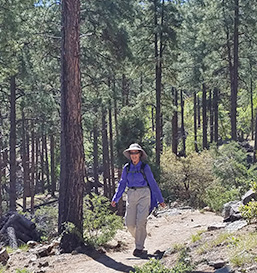 Heather enjoys the early going. [photo by Tom] |
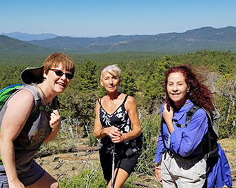 Carol, Romona, and Heather enjoy the scenery. [photo by Tom] |
|
The hike is a ten-mile loop, my favorite distance and configuration. Total ascent is a respectable 1900 feet, fairly distributed over the first four miles. That is, no one section is particularly steep. The trail is well-maintained, fairly well-marked, and relatively popular. You do meet other hikers but never a crowd. I’ve tried both directions and prefer clockwise, so that’s what we did. During the climb, up trees block most of the view, but there are some occasional opening. The best view, of course, at as the summit, especially of the swatch tower is open. I think the same watcher has been working there as long as I’ve hiked the trail, and she’s very friendly. Just climb up the stairs, knock on the trap door, and she’ll let you in. Prepared to be awed. Near the tower are picnic tables and a restroom, so that’s a great spot for a mid-hike snack and break. |
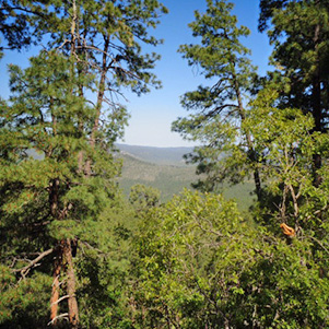 Vistas start to appear as we gain some altitude. [photo by Debbie] |
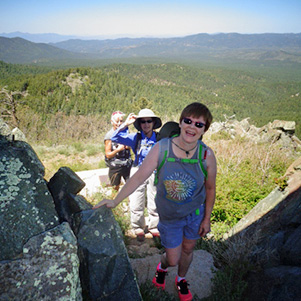 Carol, Heather, and Romona approaching the lookout tower. [photo by Debbie] |
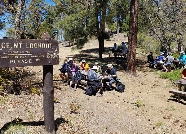 Having lunch near the Spruce Mountain Lookout. [photo by Tom] |
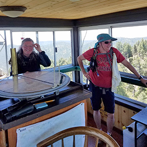 Michelle enjoys the view from the lookout tower. The watcher was very friendly. [photo by Tom] |
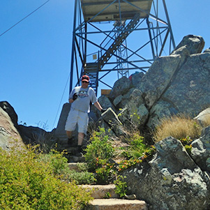 Mark heads down the path from the tower. [photo by Carol] |
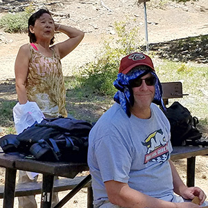 Carol and Mark recuperate at the top. [by Tom] |
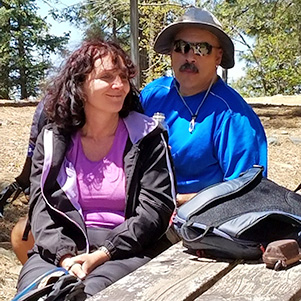 Biljana and Dave enjoy the scenery. [photo by Tom] |
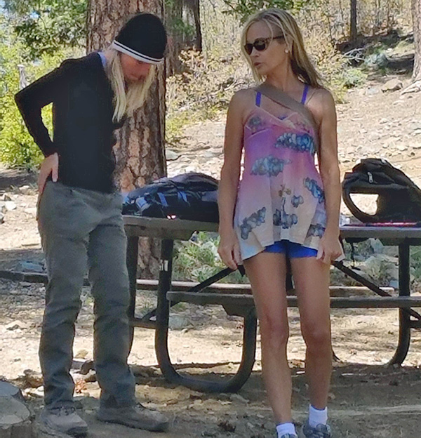 Debbie and April start to gear up for the descent. [photo by Tom] |
|
The way down is much like the ascent except, of course, that it’s easier going down. Just be careful at the #377 Isabella Trail junction, which is about half way down. If you’re going clockwise, a right turn is the correct choice. Or, be sure to read both sides of all the trail markers. |
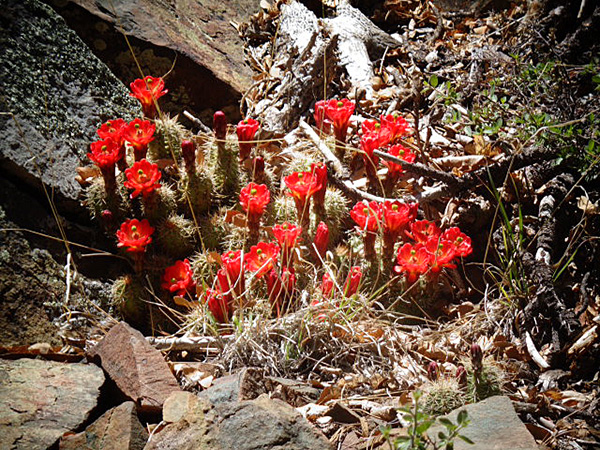 There aren’t many cactuses at the trail’s elevation, but these seemed to be doing just fine. [by Debbie] |
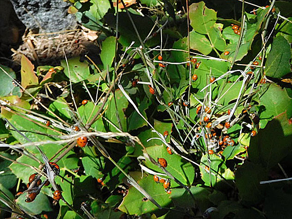 Ladybugs are always fun to see. [photo by Carol] |
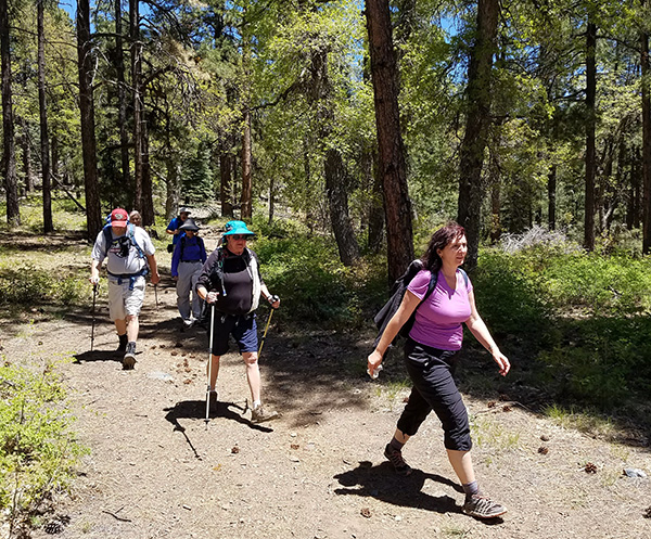 Biljana, Michelle, Mark, Heather Ramona, and Dave are almost back at the trailhead. [by Tom] |
 Half of us enjoy a great lunch after the hike. [photo by Tom] |
 The other half of us enjoyed lunch, too. [photo by Tom] |
|
After the hike we planned to grab lunch neat the Prescott city square, but they had some sort of parade going on, and so the area was even more crowded than usual, and the restaurants were quoting seating times of an hours and half or more. So instead we headed to Lonesome Valley Brewing in Prescott Valley, where we’d eaten a couple of weeks before. Once again the place was great even though twice in two weeks is a bit repetitious. I don’t think I’ll ever get tired of this hike! |
|
|
||||||||||||||||||||||||||||||||||||||||||||||||
 Top of Page
Arizona Trailblazers Hiking Club, Phoenix, Arizona
Comments? Send them to the AZHC .
updated June 17, 2017