
Outdoor Links
Hike Arizona
Trip Planning Guide
Trip Report Index
Calendar of Events
Library
|
Union Hills Loop Day Hike & Hike Leader Training Phoenix Sonoran Preserve April 2, 2016 by Ted Tenny |
|
|
|
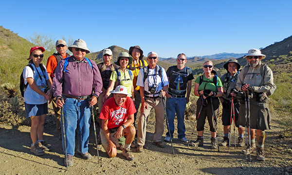
| Kimi, Mike, Ted, Colleen, Bill, Lin, Michael, Carl, Gary, Dottie, John, Jim |
|
A dozen daring Trailblazers started out from Desert Vista Trailhead on a sunny spring morning. A pleasant breeze refreshed us during the hike, and by finishing before noon we beat the afternoon heat. The hike begins with our biggest climb, on the Hawk’s Nest Trail up to the junction with the Dixie Mountain Loop. Here we have choice: troop the loop clockwise or counterclockwise. Ted chooses clockwise this time, so we turn left. |
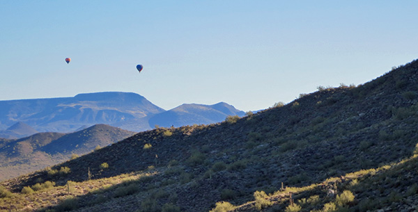 Hot air balloons are popular around here. |
|
Most of the elevation we gained we lose as the trail heads gently downhill toward a residential area. Then we cross a wash and start back up. On the way is a wrecked, rusted-out SUV that reminds Ted of BurmaShave. |

|
| Heaven’s latest | neophyte | signaled left | and then | turned right. | BurmaShave |
|
Soon we come to a junction where a trail on the left goes up to a lookout. Ted waits here while everyone else makes the climb. There aren’t many spring flowers, but the chollas and ocotillos are blooming. |
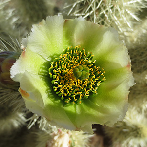 Cylindropuntia bigelovii - Teddybear Cholla |
 Cylindropuntia versicolor - Staghorn Cholla |
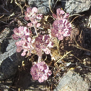 Eriogonum polycladon - Sorrel Buckwheat |
 Fouquieria splendens - Ocotillo |
 Aw, come on, won’t you hug me? |
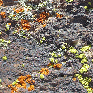 Nope. But I took a likin’ to the lichens. |
 Trailblazers on top of the western lookout. [photo by Mike] |
 Colleen, Carl |
 John, Lin, Bill |
 Kimi, John, Michael, Gary, Mike |
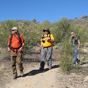 Mike, Michael, Gary |
 Now let’s see, which button is it? [photo by Bill] |
|
A short distance ahead on the trail is a ravine that forms a natural amphitheater. What better place for Hike Leader Training? Jim hands out instructions and gives a clear explanation of what you have to do to lead hikes for the Trailblazers. Wilderness emergencies are noteworthy: although they don’t happen very often, the hike leader has to be prepared. |
 Jim gives a clear presentation of Hike Leader Training. [photo by Mike] |
|
The next sightseeing side trail is up to Dixie Peak, unusual inasmuch as its name is on a US Coast & Geodetic Survey Marker at the top. Here some of the other hikers decide to walk back to the trailhead. So does Ted. With four leaders – Michael, Bill, Lin, and Jim – the others can find their way back easily. |
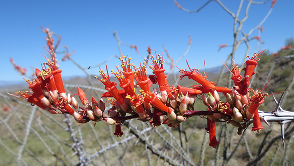 Fouquieria splendens - Ocotillo |
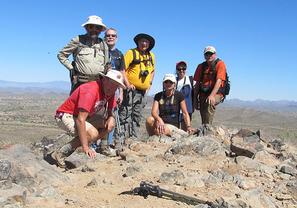 Dixie Peak is no match for us! [photo by Bill] |
 Trailblazers head back down from Dixie Peak. [photo by Kimi] |
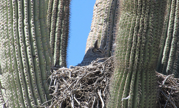 Tall trailside saguaro is for the birds. [photo by Bill] |
 Trailblazers finish their hike in grand style. |
|
My thanks to everyone for going with me today, and special thanks to Jim for Hike Leader Training. Ted |
|
Supplemental Report by Jim Buyens |
|||||||||||||||||||||||||||||||||||||||||||||||||
|
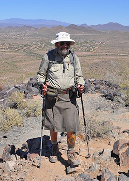
It was great seeing everyone on our hike last Saturday, and I hope everyone else had as great a time as I did. The company couldn’t have been better. Thanks, Ted, for leading such a great hike, and to everyone else for sitting through my Hike Leader Training session. I can hardly wait to see all the great hikes you’ll be leading! Best wishes and see you next time. Jim |
|||||||||||||||||||||||||||||||||||||||||||||||||
|
|
||||||||||||||||||||||||||||||||||||||||||||||||
 Top of Page
Arizona Trailblazers Hiking Club, Phoenix, Arizona
Comments? Send them to the AZHC .
updated December 28, 2017