Outdoor Links
Hike Arizona
Trip Planning Guide
Trip Report Index
Calendar of Events
Library
|
Two Bucks Loop Day Hike Happy Jack August 29, 2015 by Bill Zimmermann |
|
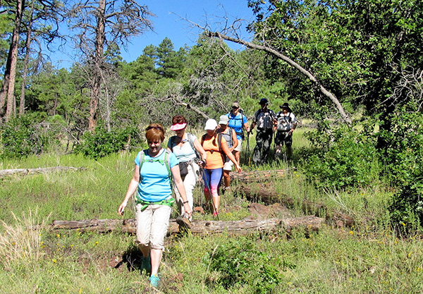
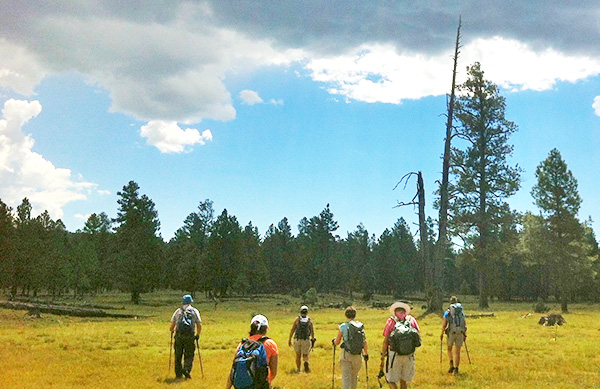
 Trailblazers on Buck Mountain |
| Sana, Michael, Monika, Jessica, Carol, Bill, Jazmin, Mark |
|
Here. We were here. Harry Truman said the “Buck” stops here. So I figure sandwiched between the summits of Buck Butte and Buck Mountain we must have been “here”. Seven hikers left the valley at 5:57. We met Mark at the start of FR 229. Four miles later on good gravel we were at the intersection with FR 305. We parked the cars and at 8:30 we were walking. After a misdirected start down the wrong road we headed to our first objective, Buck Butte. The skies were clear. |
 Trailblazers head for Buck Butte under clear skies. |
 Coming down from Buck Butte wasn’t half bad. |
|
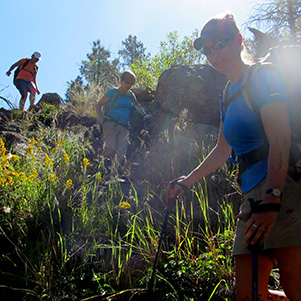
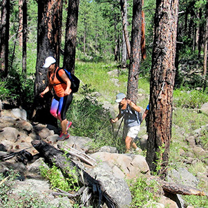
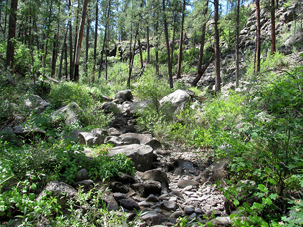
With full trees and being fairly flat, Buck Butte offered limited views. We could see Indian Maid Mountain to the west. Looking the southeast we expected to see the obvious lookout tower on Buck Mountain. None. After a group photo we headed down. The hike followed pre-entered waypoints. At “E2” we entered Brady Canyon with original plans to exit at “E3”. Change in plans. We stayed in the canyon. It was not as narrow and tight as it appears on the TOPO software. We worked our way up the canyon rock hopping to “L”, our first food break and rest. We emerged at “R3” and tried our hand at rock skipping in Goswick Tank. |
|
|
| Steep entering Brady Canyon, but not bad once you get there. | |
 Watch those branches on the way down! |
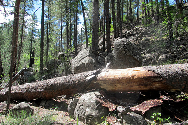 Fallen log suffered a greenstick fracture. |
 Vegetation thrives on the canyon floor. |
 We made it! Now, what? |
|
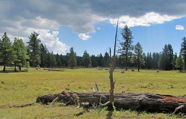
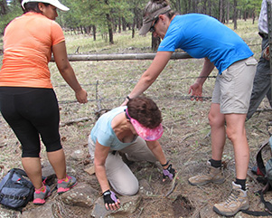
The skies turned mostly cloudy as we crossed a lush prairie on our way to a road crossing waypoint “XR2” We tried our hand at cairn art. At “FX1” we experienced our first fence crossing. Light rain blanketed us as we worked our way toward “R4”. |
 Goswick Tank |
 Cairn art, you see. |
 Goswick Tank is a great place for skipping stones. |
 Oh oh, it’s clouding up. |
|
Thunder. With no shortcut alternative back to the cars we decided to continue on. At “L2” we donned our rain gear and had our second break in steady rain. Heavy rain did not continue but the thunder did. At “R6” we connected with a road that we followed to the lookout tower. With photo taking completed, we bushed our way down the west side. It was steep but pleasant as we formed deep footprints in the thick soft ground cover. |
 A colorful tree. [photo by Carol] |
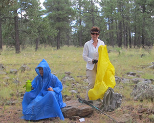 Lunch is wet, but chemically it’s the same. |
 Can you squeeze under that fence? |
 We made it to the summit of Peak 6987. |
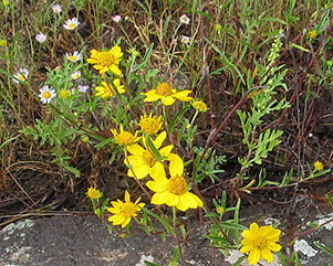 Abundant wildflowers cheer us. |
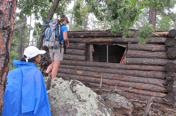 Pioneer’s cabin in a remote location. |
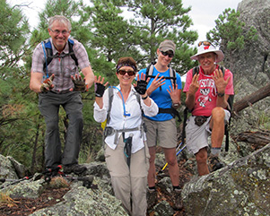
 Trophy hikers! |
 Lookout Tower. [photo by Carol] |
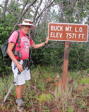 Bill on the top of Buck Mountain. |
 Oh, the sky is clear up ahead. [photo by Carol] |
|
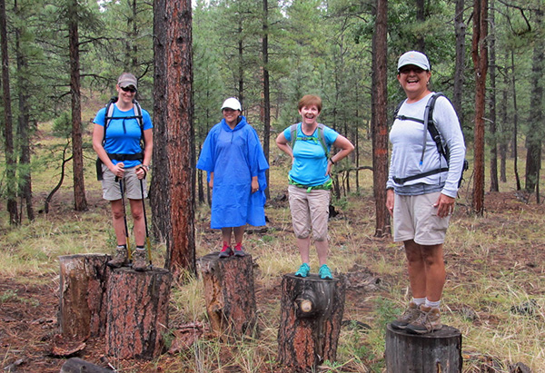
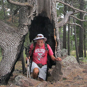
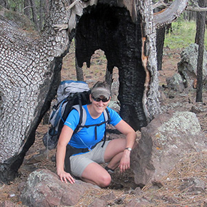
Jessica spotted a hollowed tree. More photos. More thunder. More fence crossings. The gals posed for photos on top large stumps. After the road crossing at ”XR7” we were on our way to summit of Peak 6987. On the downside we were treated to a neat surprise. Was it a hunting cabin? |
 Michael [photo by Carol] |
 Bill [photo by Carol] |
 Carol |
 Mark |
 Jessica |
 Sana |

|
|
| Yes, you can get under that fence! | |
|
Would “LFX” be the last fence crossing? Wrong. The thunder and rain stopped. The skies cleared. However, we had two more fence crossings before reaching our cars. Mark, our acting historian, informed me we had seven fence crossings. After 12 miles and 1590 feet we arrived at the cars. Wet and muddy, we said our good-byes to Mark. Grub in Pine was next. Full and rested, we returned to the valley. Thanks to Monika and to Bill for driving. |
 Top of Page
Arizona Trailblazers Hiking Club, Phoenix, Arizona
Comments? Send them to the AZHC .
updated May 27, 2020