Outdoor Links
Hike Arizona
Trip Planning Guide
Trip Report Index
Calendar of Events
Library
|
Old US 60 Day Hike Superior May 17, 2015 by Bill Zimmermann |
|
 Trailblazers on the old road, by the bridge. |
|
front row: Chuck, Dana, Tamar, Scott, Bill back row: Dave F., Michael, Andy, Dave M. |
|
On the way to the McFadden hike Bill pointed out the old road and tunnel. There seemed to be interest, so on short notice he added this hike to the calendar. Sunday stroll. We started walking about 9 AM under sunny skies. The road we walked was actually a later construction over still older portions. We took turns trying to provide answers to the partial remnants and clues we saw. Road and tunnel construction was not our forte but we had fun guessing. |
 There haven’t been any cars on this road for a long time. |
 That looks strong enough to hold a cable. |
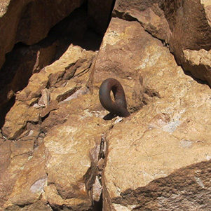
 Did they make the dynamite sticks this big? |
|
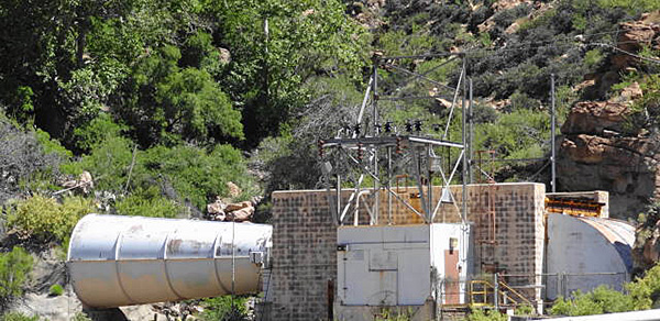
We had great views of the magnificent arched bridge towering above us as we hiked underneath it. Switchbacks took us around and above a huge water tank. Looking over the edge we had views of Queen Creek below. |
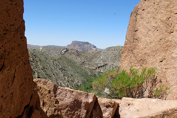 Picketpost Mountain and the other side of the bridge, from the tunnel entrance. |
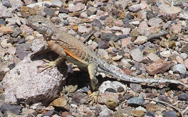 Lizzie doesn’t get much company. |
|
Just prior to entering the tunnel the large rocks adjoining the road were full of graffiti. It was more than Bill noticed on an earlier trip. |
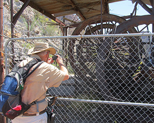
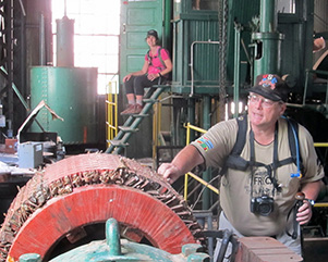
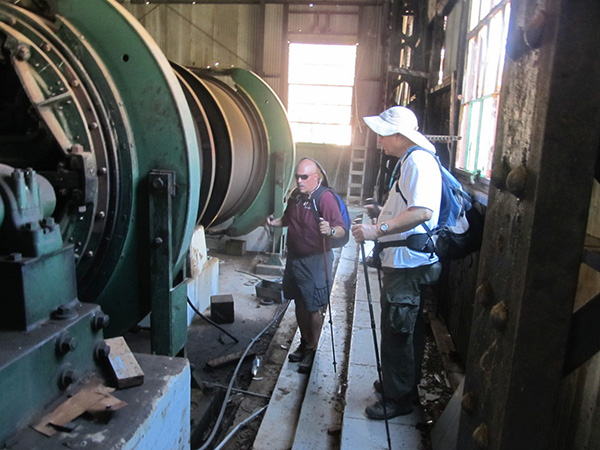
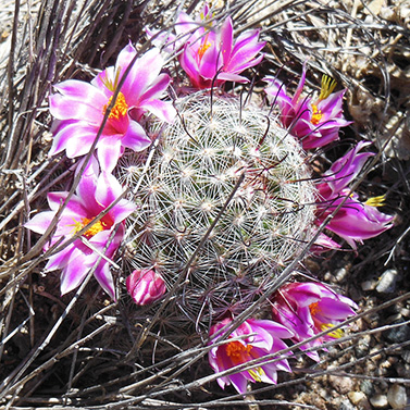 Nipple cactus. [photo by Dave M.] After navigating the old tunnel (toll free) we followed a path that got us to the edge of US 60. The scamper across was completed without incident. We headed up the blacktop sidewalk that adjoins the runaway truck ramp. Some hikers tested the stones. They were dense enough to keep the hiker on top but loose enough to bury a truck up to its axels. On the way up the hill to the mine site some hikers paused to fill their pockets with rocks having a bluish green copper oxide. At the site we took our leisure looking around and taking pictures. |

|

|
| Tunnels, old and new. [photos by Dave M.] | |
 Trailblazers on the down grade. |
 Those loose rocks would stop a runaway truck. [photo by Dave M.] |
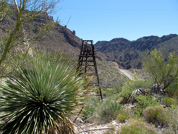 Drill, ye tarriers, drill! |
 Dave is a big wheel round here. |
 True grit, as Michael would have it. |
 Mine your own mine. |
 Looks like a wind tunnel to me. [photo by Dave F.] |
|
It was down the hill, another scamper, as we hiked back to the cars. We stopped in Superior for lunch before heading back to the valley. |
|
→
U.S. Route 60 in Arizona.
|
|
Building through the rugged canyons between Superior and Miami provided an alternate to taking the Apache Trail from Phoenix to Globe, but it would cost a million dollars. Like the Apache Trail, the route followed an old Indian footpath. Queen Creek Canyon required a 200-foot tunnel, called Claypool Tunnel, named for the junction with the Apache Trail between Globe and Miami. Construction began in 1919 and was completed by 1921. In 1926 the Route became part of US 180 at a time when US 70 ran from Holbrook to Springerville. In the early 1930s it was Routes US 180 and US 60 combined. By 1939 US 70 had relocated and the Superior-Miami highway became US 60 and 70 combined. For another million dollars the one lane tunnel was replaced in 1952 by Queen Creek Tunnel, a lighted, two-lane passage higher on the same rock formation. This illustration was cropped from an un-attributed “real photo postcard” mailed from Globe in 1945. |
 The historic tunnel (from a postcard mailed in 1945). |
 Trraiblazers at the historic tunnel. |
|
Supplemental Report by Dave French |
|
|
I was able to retrieve my book from the coworker I loaned it to. It is almost all about the Apache Trail SR 88 and is chock full of historical pictures. The title is Images of America: APACHE TRAIL by Richard L. Powers, the Superstition Mountain Historical Society, and the Gila County Historical Society Museum. The Apache Trail was developed along ancient paths as a construction road for Roosevelt Dam. In 1907, the first passenger cars used it as a sightseeing route and the Southern Pacific Railroad and others promoted it for tourism. The mining towns of Globe and Miami partitioned the state to develop a shorter, faster route between Phoenix/Mesa and Globe/Miami. They received support from then Governor George W.P. Hunt and construction began in 1917 on a new route from what is now Apache Junction to Superior, up the Queen Creek canyon and over the “Top of the World” to Miami. The road was opened in 1922 and included a tunnel. In comparison to the Apache Trail, the new route reduced the driving distance to Globe/Miami by 20 miles but reached an elevation of 4600 feet versus 3700 feet on Apache Trail. The road was dubbed “The Million Dollar Highway”. To reduce cost, convict labor was used in construction of the new road. Their camp was along Queen Creek near where the water tower is today. Sorry, no info available on the drill holes in the tunnel or other stuff we saw. I asked if the current Queen Tunnel is mechanically ventilated. Current standards are, tunnels over 300 feet have to be mechanically ventilated. Queen Creek Tunnel was built in 1952 and is over 300 feet long, but not sure if it is ventilated. I will try to find out if that big device at the upper end is indeed a ventilator. |
|
 Top of Page
Arizona Trailblazers Hiking Club, Phoenix, Arizona
Comments? Send them to the AZHC .
updated January 27, 2018