Outdoor Links
Hike Arizona
Trip Planning Guide
Trip Report Index
Calendar of Events
Library
|
Lost Dog - Quartz Trail Day Hike McDowell Sonoran Preserve, Scottsdale December 19, 2015 by Monika Hahues |
|
|
Driving up to the Lost Dog trailhead just before sunrise, a breathtaking view greeted us on this fine Saturday morning. Starting out in the 40s with a high in the low 60s and an overcast sky, it turned out to be an ideal hiking day. |
||||
 Sunrise. [photo by Monika] |
||||
|
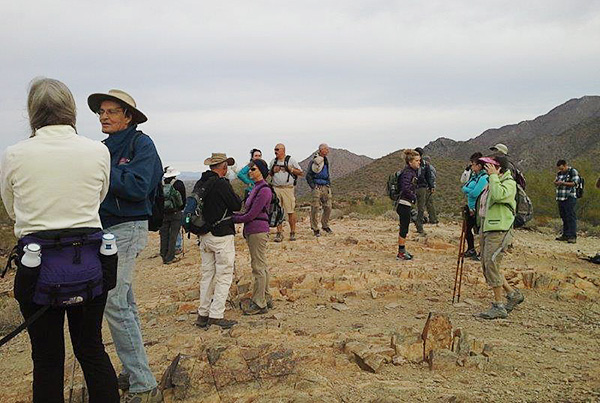
24 hikers were ready to get in some quick exercise before going back to their various Holiday chores. |
||||
 Hikers pass muster at Lost Dog Trailhead. [photo by Gabe] |
||||
|
||||
|
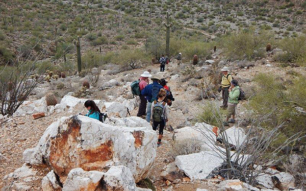
Since the trails in the McDowell Sonoran Preserve are very well marked, there was not a big chance for anyone to get lost, even with a large group like this. After short introductions we headed up the Lost Dog Trail to the first meeting point, the Taliesin Overlook. Once everyone arrived and took in great views of the Frank Lloyd Wright complex and a good part of the valley, we quickly moved on down to the Quarz Trail, hoping to get away from the wind chill. |
||||
 Hikers enjoy the Taliesin Overlook. [photo by Gabe] |
||||
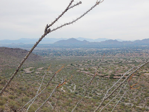 The view from the Taliesin Overlook. [photo by Monika] |
||||
|
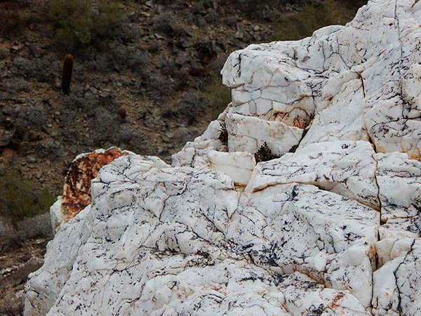
When driving on the 101 in the North Scottsdale area, have you ever wondered what the big white spot on the mountain side might be? We were going to solve that mystery, but first we wanted to find Box Canyon. Following a wash for the remainder of the hike we felt more and more isolated from civilization. The further we got into the desert, the fainter the trail became. |
 Quartz outcropping. [photo by Monika] |
 Heading into the canyon. [photo by Bill] |
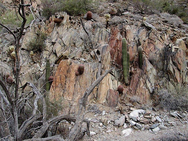 Wood, rocks, and cacti of Box Canyon. [photo by Bill] |
|
After about 4.6 miles of total hiking the trail petered out. We decided to have a snack before heading back and conquering the white spot on the mountain |
 Trailblazers enjoy a snack. [photo by Gabe] |
|
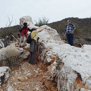
Getting up to the Quartz Outcrop was a bit of a scramble, but everyone wanted to see what the white stuff was about. And it was worth the climb |
 Jim sees interesting minerals on the ground. [photo by Gabe] |
 The quartz isn’t edible. [photo by Monika] |
 The quartz outcropping is a great place to explore. [photo by Monika] |
 See, it’s that-a-way. [photo by Monika] |
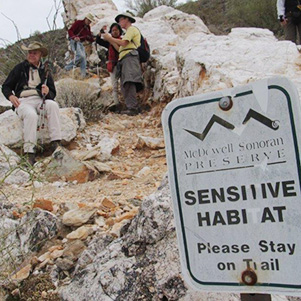 The outcropping is a sensitive area. [photo by Bill] |
|
Everyone made it back down safely and was ready to hike back to the trailhead. |
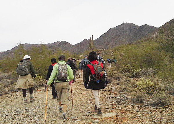 Going back. [photo by Gabe] |
|
We made it back just in time for lunch, which 12 of us enjoyed at the Scottsdale Brewery Company. |
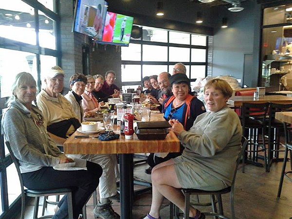 Lunch. [photo by Gabe] |
|
Another great hiking day for the Arizona Trailblazers! |
| Hike Statistics, by Jim Buyens |
|
|
 Top of Page
Arizona Trailblazers Hiking Club, Phoenix, Arizona
Comments? Send them to the AZHC .
updated January 5, 2020