Outdoor Links
Hike Arizona
Trip Planning Guide
Trip Report Index
Calendar of Events
Library
|
Kelsey-Dorsey Loop Sycamore Canyon, Coconino National Forest August 9, 2014 by Chuck Parsons |
|
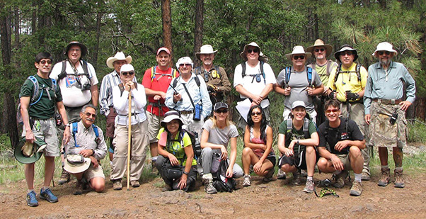 Eighteen smiling Trailblazers mug for the camera. [photo by Jim] |
||||
|
||||
|
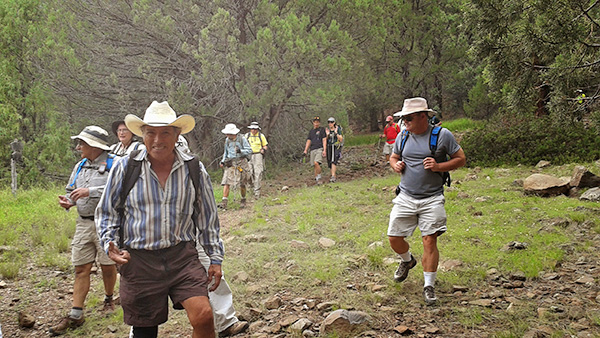
Yet another gorgeous day in northern Arizona's high country, sitting atop the vast mile-high Colorado Plateau that encompasses almost the entire northern half of the state. The temperature stands at a very pleasant 77°F, as eighteen anxious Arizona Trailblazers strike out on FR538G to reach the Kelsey Trailhead, a half-mile ahead. We are getting a somewhat late start at almost 11:00 AM on a partly cloudy Saturday morning in early August. With nearly 21 miles of dirt and gravel road to travel, the last couple of miles on FR538G being particularly rough and full of deep holes, it takes us longer than expected to get even a half-mile short of the actual trailhead, where we decide to park and hoof it from there. |
||||
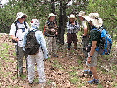
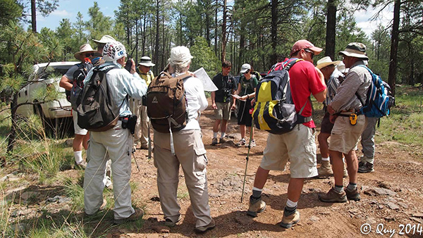 Studying the all-important trail map before striking out. [photo by Quy] |
||||
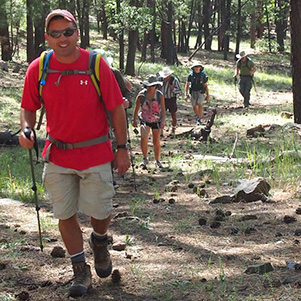
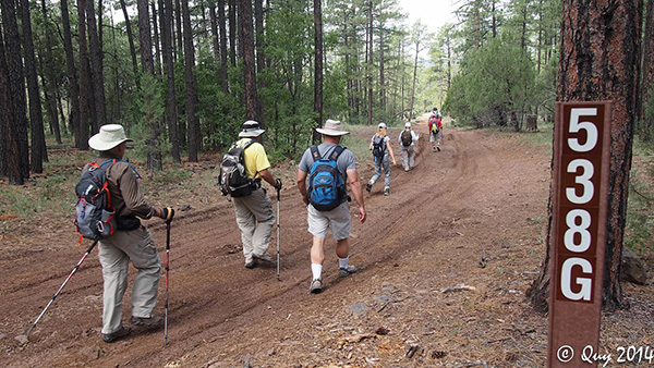 Trailblazers hit the trail — or in this case the road. [photo by Quy] |
||||
 Kelsey Trailhead — here we come! [photo by Barbara] |
||||
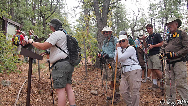 Michael signs us in on the official trailhead register. [photo by Quy] The official Kelsey Trailhead was a half mile from where we started hiking on FR 538G. |
||||
|
But we only have 6.5 miles of trail to cover (or so we think anyway) with about 1,400 feet of elevation gain and loss over the full loop trail. So this should be a pretty easy hike with most of us arriving back at the trailhead by 3:00 PM, if not sooner. Yet another pipe dream. When it comes to hiking, you should always treat it exactly like estimating the time to complete even the smallest of tasks. Always add an extra hour or two to give yourself some margin just to be on the safe side. |
||||
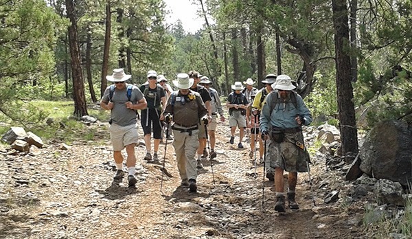
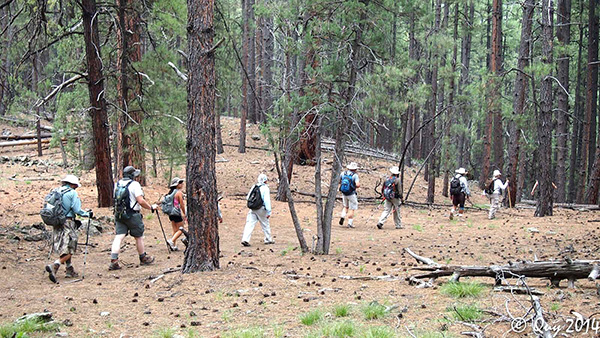
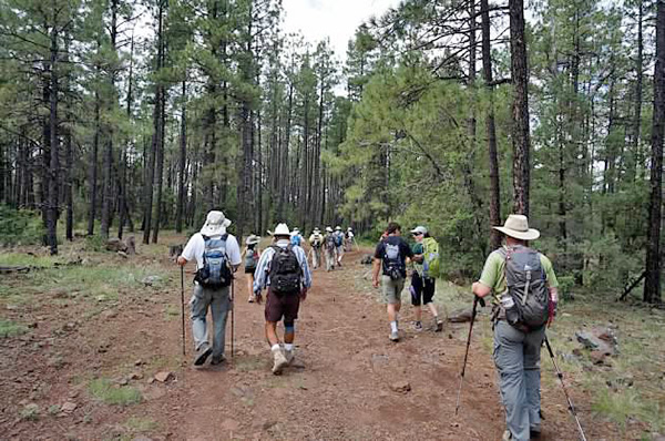
 Trailblazers begin the steep descent from Kelsey Trailhead. [photo by Quy] |
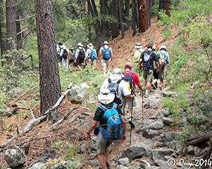 A line of hikers descends into Sycamore Canyon. [photo by Quy] |
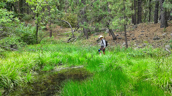
 Dan and Chuck check out Kelsey Spring. [photo by Quy] |
 Kelsey Trail meanders through a thick ponderosa pine forest. [photo by Quy] |
|
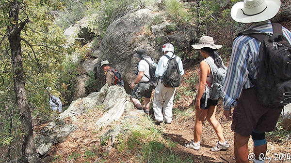
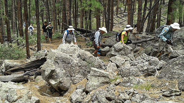
Starting from the Kelsey Trailhead, we are going to hike the loop in a counterclockwise direction today. The Kelsey-Dorsey Loop trail consists of three segments: the Kelsey Trail, the Dorsey Trail, and FR538G. We soon dispatch the short segment of forest road and come to the official start of the loop trail at the Kelsey Trailhead. After Michael signs the group in at the trailhead register, the trail quickly drops us below the rim and begins a short but steep descent into the depths of Sycamore Canyon. We have hiked along the rim of Sycamore Canyon a number of times over the years, but this is the first time we have ever explored below the canyon rim, since there are few trails that penetrate into the depths of this rugged and isolated canyon wilderness. |
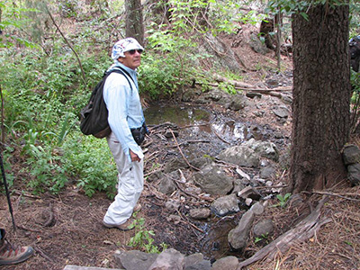 What spring? Looks more like a mud hole to Arturo. [photo by Jim] |
We continue following the Kelsey Trail west past Kelsey Spring and then southwest through a forest of large ponderosa pine and juniper, including a number of huge alligator junipers. The trail levels off for a while before continuing in a more gradual descent and eventually swinging sharply to the northwest. We finally reach Babes Hole Spring and the junction with the Dorsey Trail, one mile from the trailhead. |
 Trailblazers check out Babes Hole Spring. [photo by Barbara] |
|
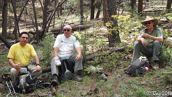
We make a sharp left turn here, heading south and then southwest on the Dorsey Trail through a mixed forest of ponderosa, oak, juniper, manzanita, and holly. In geological terms this part of the Dorsey Trail is known as a bench, or a broad open plateau that sits between the upper and lower rims of Sycamore Canyon. Our next stop is Dorsey Spring at the southwest corner of the loop, 1.6 miles ahead. But with our late start time, about halfway to the spring we decide to break for lunch and find a couple of large ponderosa logs for seating. |
 Wayne munches on a....paper sandwich?? Apparently some sort of new fad diet. [by Quy] |
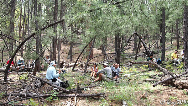 Trailblazers spread out for lunch among the pines. [photo by Quy] |
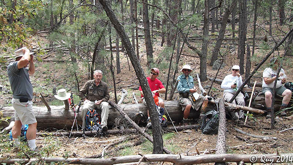 The perfect log lunch bench. [photo by Quy] |
 Barry, Chuck, and Scott chow down. [photo by Quy] |
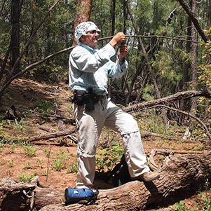 Arturo tries to pick up a signal. [photo by Quy] |
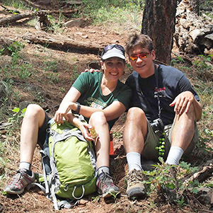 Diana and Rich pose for the camera. [photo by Quy] |
|
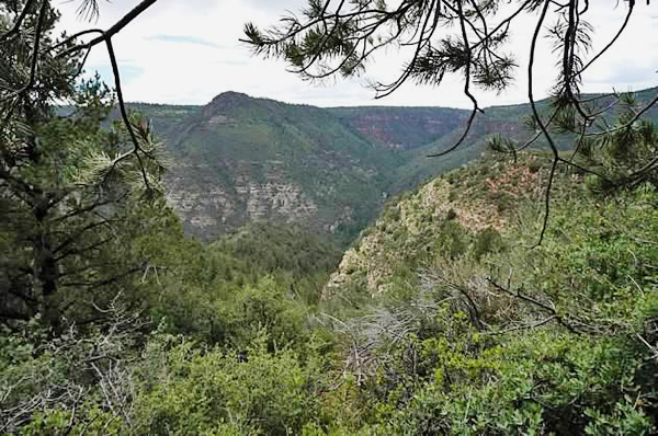
After a relaxing lunch break in the pines, we continue on our journey south to Dorsey Spring. This section of the Dorsey Trail alternates between pine-juniper forests on the cooler and wetter northwest-facing slopes and chaparral on the sunnier and drier southwest-facing slopes. And it is here along these chaparral-covered slopes that we get our best views looking deep into Sycamore Canyon since there are no tall pines to obstruct the view. |
 With Dan leading the charge, Trailblazers hit the trail once again. [photo by Quy] |
 Hikers reacting to a small earthquake. [photo by Barbara] |
 Cloud-filled skies over Sycamore Canyon. [photo by Barbara] |
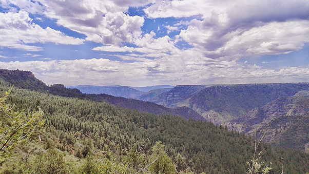 Cloud-filled skies over Sycamore Canyon. [photo by Barbara] |
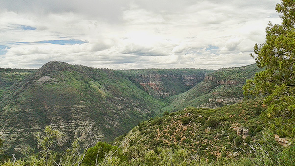
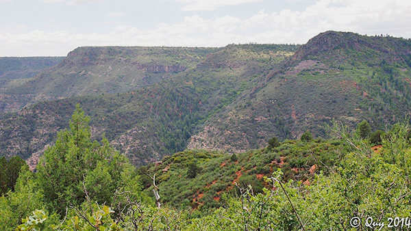 View looking deep into Sycamore Canyon. [photo by Quy] |
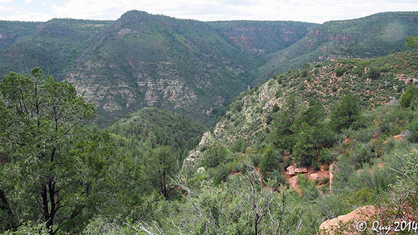 View looking deep into Sycamore Canyon. [photo by Quy] |
|
Just as Oak Creek to the east slowly cut its way over millions of years into the Mogollon Rim to create what we know today as Oak Creek Canyon, Sycamore Creek similarly carved its way deep into the rim to create Sycamore Canyon. These two canyon systems represent the two largest within Arizona’s Red Rock Country. Sycamore Canyon is 21 miles long and 7 miles in width at its widest point. This was the first place in Arizona to be designated a Primitive Area, later changed to a Wilderness Area under the 1984 Arizona Wilderness Act. |
 Pine boughs frame this view of the canyon. [photo by Wayne] |
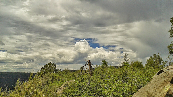 Ominous-looking storm clouds are moving in fast. [photo by Barbara] |
|
The 56,000 acre Sycamore Canyon Wilderness takes in the entire canyon and parts of three different National Forests — Coconino, Kaibab, and Prescott, and extends from its heavily-forested rim near Williams all the way south to its desert canyon terminus in the Verde Valley, where Sycamore Creek empties into the Verde River near the town of Clarkdale. This is a rugged, isolated, and seldom visited area, accessible only by foot or by horseback. It represents a truly unique hiking experience in Arizona. |
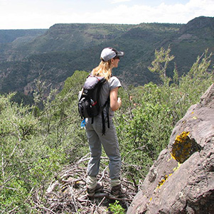 Barbara gets into position for her best shot. [photo by Jim] |
 Don't back up, Barry! [photo by Jim] |
 Wayne gets even higher for a better view into the canyon. [photo by Jim] |
 Is that an eagle's nest you’re standing on, Jim? [photo by Jim] |
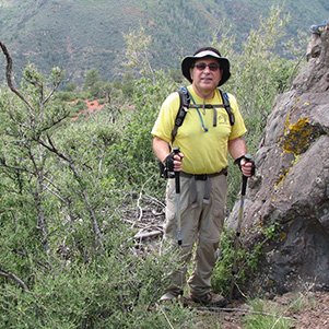
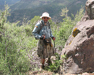
 Gary and Rudy, deep in philosophical discussion. [photo by Jim] |
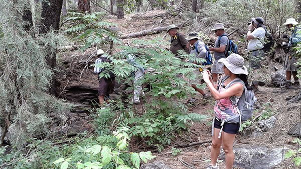
After spending quite a bit of time at the best rim overlooks and taking lots of pictures, we move on and eventually reach Dorsey Spring at the southwest corner of the loop. Of the three springs encountered on this loop hike, Dorsey Spring is by far the most picturesque and inviting, with its shimmering pools of water, lush green grasses, thistle and other flowering plants, and small scrubs — a true mini oasis in a forest of tall pines, junipers, and oaks. |
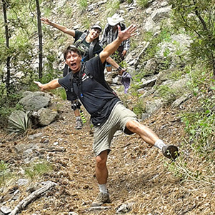
 Meanwhile, back on the trail ... [photo by Barbara] |
|
In the early morning and early evening hours this spring is probably a magnet for many animals who come to drink from the only water source for miles around. The edge of the surrounding forest would be an ideal vantage point to observe wildlife during these quiet and reflective moments of the day. If only we had the time. If only we had the time. But time is such a precious commodity, and we never seem to have quite enough of it. |
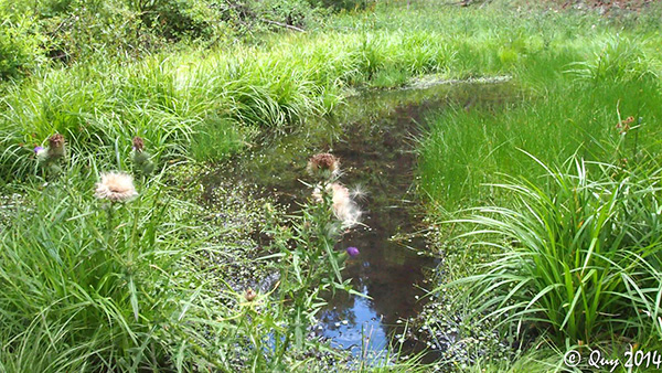 The lush riparian habitat of Dorsey Spring. [photo by Quy] |
 Rudy checks out the water for signs of life. [photo by Barbara] |
|
As hikers, we are constantly on the move throughout most of the day, and although we see a lot of different things and stop from time to time to look around and gain a little better appreciation of the area, we cannot take the necessary time to really soak it in to the fullest. For that, we need to stick around in one place for a while, in fact for quite a while, and take the time to really observe and understand our surroundings and everything that exists and moves within them. I went to the woods because I wished to live deliberately, to front only the essential facts of life, and see if I could not learn what it had to teach, and not, when I came to die, discover that I had not lived. It’s not what you look at that matters, it’s what you see. Henry David Thoreau Flower pictures by Quy: |
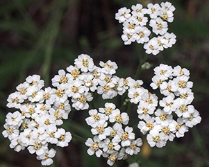 Yarrow |
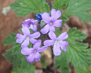 Mock Vervain |
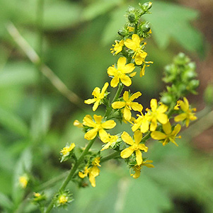 Common Agrimony |
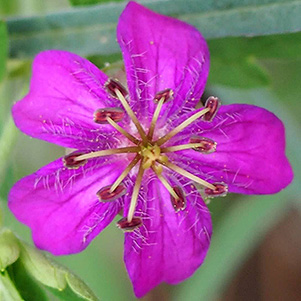 Geranium |
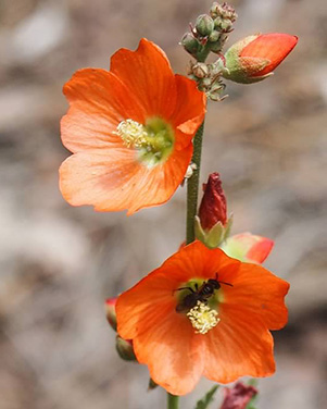 Globemallow |
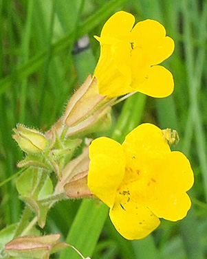 Monkey Flower |
|
We leave Dorsey Spring behind and continue hiking east on the Dorsey Trail. Just when we think we finally have most of the hard climbing behind us, we are challenged by yet another series of hills seemingly steeper and tougher than the ones we hiked earlier in the day. We are slowly and methodically climbing our way out of a wide ravine along this stretch of the trail, as we work our way back to the top of the rim and the Dorsey Trailhead, 1.4 miles from the spring. |
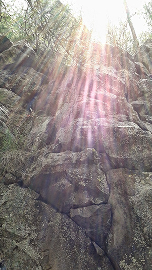 Sunbeams magically dance on the rocks. [photo by Barbara] |
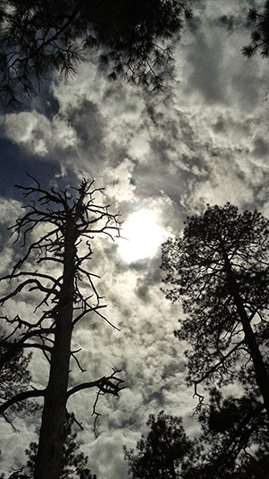 In contrast, silhouetted trees reach toward a stormy sky. [photo by Barbara] |
|
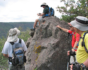
It seems that every time I’m convinced that we’ve already come across the largest alligator juniper of them all along the trail, I’m surprised once again to find yet another even larger juniper. And such is the case with this huge juniper we encounter somewhere along the Dorsey Trail. Just to get a rough idea of how big this tree actually is, three of us, with arms fully outstretched, join hands around the trunk of this behemoth and still cannot make a fully connected circle. From that, we calculate this tree to exceed 18 feet in circumference. That in turn translates to a diameter of about 6 feet — a true giant among junipers. And this grand specimen is likely not the largest alligator juniper in Arizona. There are probably others out there 20 feet in circumference and perhaps even larger. Junipers of this size are well over 200 years old and were established and thriving long before the Civil War broke out in 1861. |
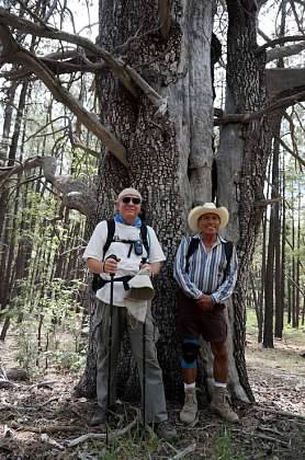 Chuck & Rudy with the Granddaddy of all alligator junipers. [photo by Wayne] |
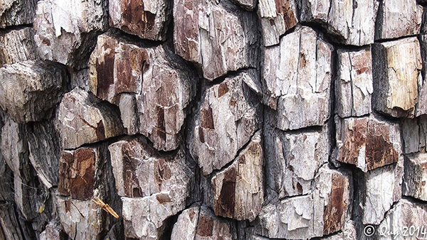 Close-up shot of the alligator juniper bark. [photo by Quy] |
|
We finally break out on the rim of Sycamore Canyon at the Dorsey Trailhead and take five while the rest of our hikers catch up with us. From here, we hike relatively easy and level forest roads all the way back to where we left our vehicles earlier in the day, about a half mile this side of Kelsey Trailhead. We hike for another mile before reaching the junction with FR 538G. The going will really be easy from here on, except for a few rough stretches of road. |
 Hoofing it back to the rim. [photo by Barbara] |
 “H’mmm, I wonder if...”, Rich is thinking to himself. [photo by Barbara] |
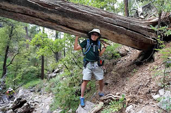 Strongman Wayne supports one end of the mighty ponderosa trunk. [photo by Wayne] |
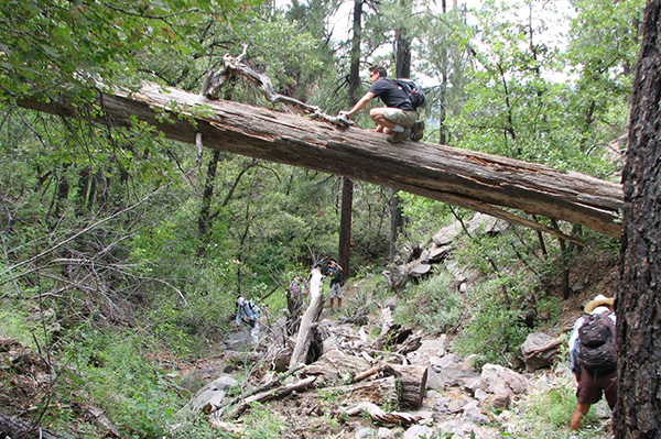 ... while Rich carefully picks his way across. “Yes! I knew I could do it!” [photo by Jim] |
|
We make one last left turn onto FR 538G and begin hiking northwest toward our waiting vehicles, about 3/4 of a mile away, through a forest of towering ponderosa pines. We’re also keeping an eye on the sky, as ominous-looking storm clouds have been threatening to open up and pound us for the past mile or two. But so far we’ve only had a few drops of rain from time to time, with an occasional rumble of distant thunder. No need to break out the rain gear just yet. |
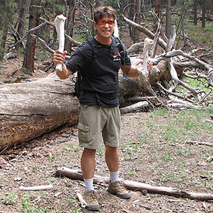 Me Tarzan! |
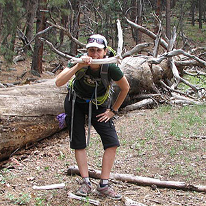 You Jane! [photos by Jim] |
 Trailblazers are on the final home stretch. [photo by Wayne] |
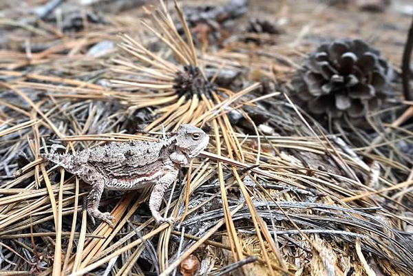 A patient horned toad poses for the camera. [photo by Wayne] |
|
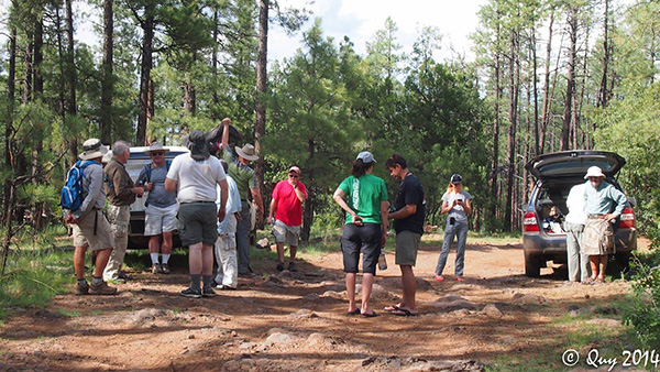
By 4:30 most of us are back at the vehicles, minus two of our hikers we are going to pick up along the road on the way back out. With all hikers finally present and accounted for, we arrive safe and sound back at the Target Center in Flagstaff. Five people decide to head straight for home, while the rest of us take Jim’s suggestion and head over to Busters Restaurant & Bar, a short walk across the street south of Target. |
 Back at the trailhead at last! Time to break out the bubbly. [photo by Quy] |
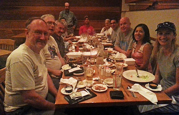 Breaking bread at Busters in Flagstaff. [photo by Jim] |
|
It’s been another perfect day for hiking northern Arizona’s spectacular high country and somehow, someway we have managed to dodge the weather bullet once again. Not to mention escaping scorching triple digits for the entire day. |
|
|
|||||||||||||||||||||||||||||||||||||||||||||
 Top of Page
Arizona Trailblazers Hiking Club, Phoenix, Arizona
Comments? Send them to the AZHC .
updated October 31, 2018