Outdoor Links
Hike Arizona
Trip Planning Guide
Trip Report Index
Calendar of Events
Library
|
Watson Lake Day Hike Prescott December 14, 2013 by John Richa |
|
|
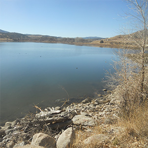
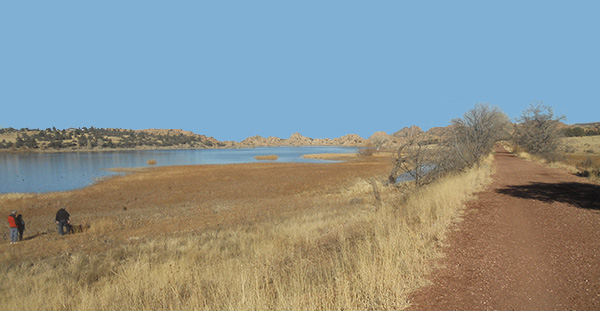
Watson Lake is one of two reservoirs at the Granite Dells, outside of Prescott, Arizona, that was formed in the early 1900s when the Chino Valley Irrigation District built a dam on Granite Creek. The City of Prescott bought the reservoir and surrounding land in 1997 to preserve it as recreational land. Local rock climbers use the granite cliffs above and adjacent to the lake for top-roping and lead climbing. |
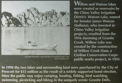 Historical marker by the trailhead |
|
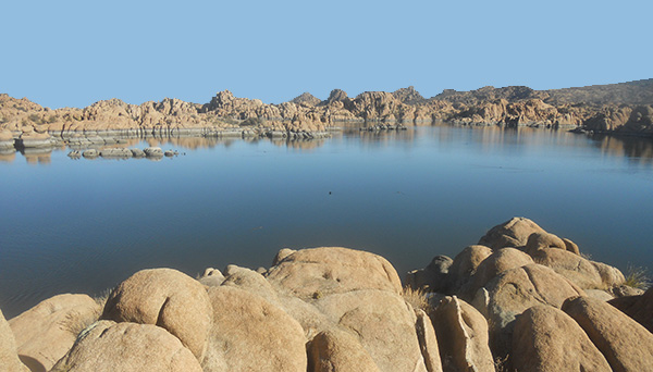
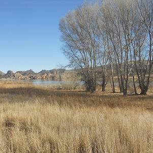
The lake provides additional outdoor sport amenities such as: fishing, kayaking, canoeing, boating, hiking, camping and day picnicking. Watson Lake surface is 380 surface acres and is distinguished by its dark blue water, as is evidenced in the following pictures, and is surrounded by granite polished boulders and protruding vegetation. The boulders view seems like from another planet! |

|
|

|
|
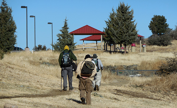
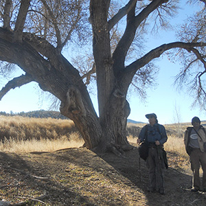
Our group of five hikers arrived at the lake site about 10 AM. The temperature was 51 degrees, with sunny and perfect blue skies, perfect conditions for the hike. We saddled up at the parking lot and paused for a group picture. |
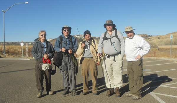 The Magnificent Five, L to R: Dottie, Chuck, Arturo, Michael, John. |
|
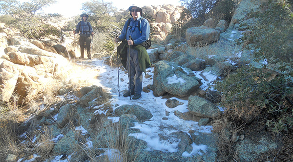
After a few moments of hesitation in trying to locate the trailhead because the “natural preserve” wild tall grass overran the trail, we found our trailhead and started our hike. |
|
|
| The trail isn’t obvious amid the trees and tall grass. | |
 Hmmm. The trail must be this-a-way. |
|
Several days earlier, snow has fallen on the city of Prescott. Here you see some remnant snow. Of course, Arturo had to regress to his early childhood experiences and was scraping whatever snow he could gather, compressing it into a snowball and looking for someone to have a snowball fight. |
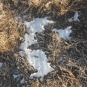 Some of the snow hasn’t melted yet. |
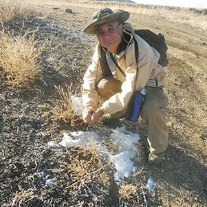 Arturo finds enough to make a snowball. |
 Chuck and Arturo. |
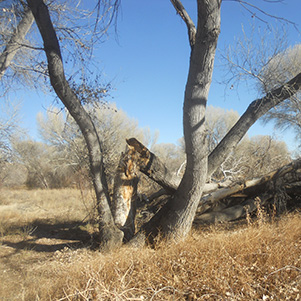
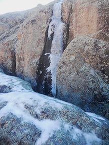
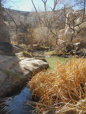
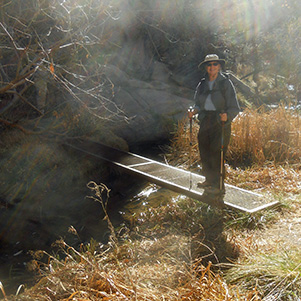
While crossing the “natural preserve” we came across some really big and beautiful cottonwood tree and a pedestrian bridge over a creek that feeds the lake. Here Michael, being in the lead, is checking the sturdiness of the bridge before we cross it. From this bridge one can see the ice on the creek edges. Farther down around the lake, Chuck tests the surface hard frozen water. He was trying to “walk on water”. Not today. The ice is not hard enough. |
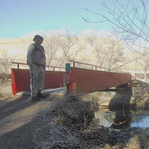 Michael decides to try the bridge. |
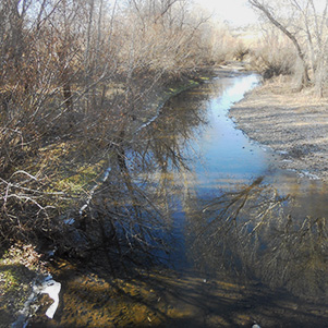 There’s ice in the creek today. |
 Don’t jump. |
 Chuck checks ice hardness while Arturo looks on |
|
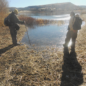
“C’mon kitty, kitty!” M R ducks Arturo? No Beijing duck for dinner today. We kept on trekking and came upon some beautiful views of the lake. |
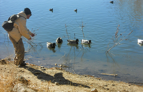 Why are the ducks so wary of Arturo? |
 Chuck, Dottie, Arturo and Mike on the lake shore trail. |
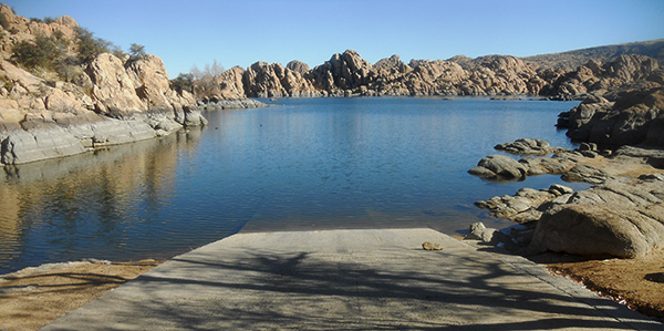 Boating on Watson Lake, anyone? |
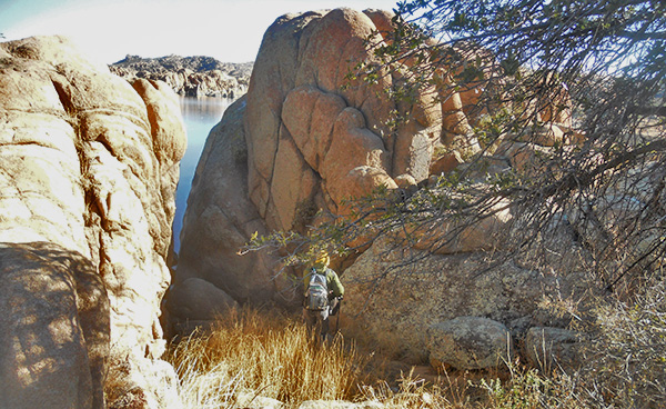
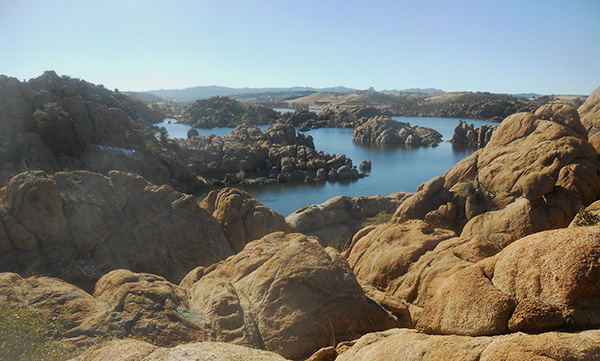 Spectacular rock formations of the Granite Dells. |

|
|
| The lake is popular with wildlife and people. | |
|
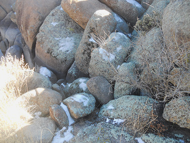
Along the trail we came upon various spots where the water was frozen or there was some snow left over. |
|
|
| Ice on rocks makes for perilous footing. | |

|
|
| Some of the snow is melting on the trail. | |
 Dottie and Chuck find it cooler in the shadow. |
|

|
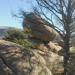
| Balanced rocks. | |
 Chuck investigates the opening in the rocks. |
|
This was a loop hike. Here Dottie and Chuck circling along a rocky trail to reach behind the dam where we planned on stopping for lunch. Here is the dam that created the lake: |
 The dam was built in 1916. |
 Dottie & Chuck |
 On the south side of the dam. |
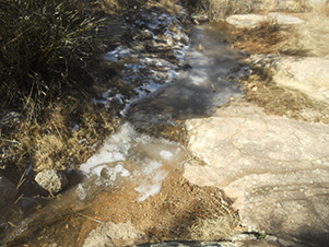
On the south side of the dam, we came across a foot bridge that led us to the other side of the creek and right below the dam. Dottie tests crossing the bridge. She signals that it was safe for the rest of us. Despite the stern warning of danger lurking ahead, we proceed closer to the base of the dam for a close look and examination. A thorough examination reveals that the dam is leaking. Actually this is done on purpose. A small gate in the dam wall allows water to plunge out in order to fill the canyon bottom in order to sustain a lush riparian strip of cottonwoods, sycamores, ash, and willow trees and tall grass. |
 Dottie says the bridge is O.K. |
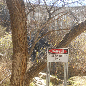 Don’t say you weren’t warned. |
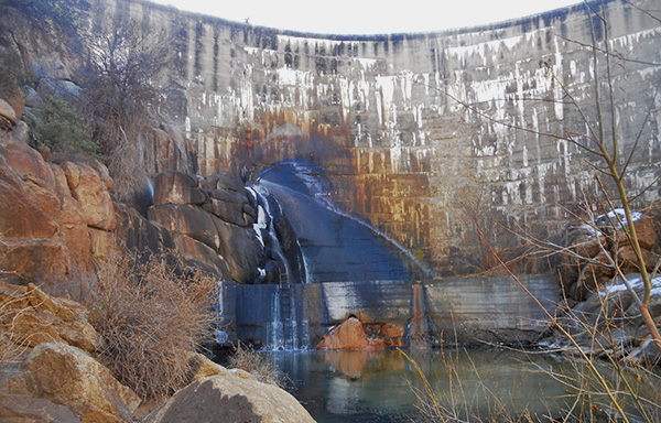 Looks like the dam is leaking. |
|
We decided that it is midpoint on our hike and it was time to eat lunch. We scattered around the area looking for some warm sun rays. Every one of us staked out a spot in the sun. |
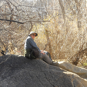 Chuck on his high perch ready to alert us for any uninvited critters, etc. |
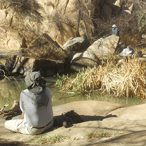 Michael, Dottie, and Arturo, finding their place in the sun. |
|
After our lunch break we proceed to complete the loop. At a certain point we came across a tree house just in case one got lost on the trail and needed a shelter for the night. After 4 hours total hiking time and six miles of trail trekking we came upon Lakeshore Trail, an old railroad tracks bed that led us back to our starting point. |

|

|
| A tree house overlooks the lake. | |
 Look back at the lake and trail. |
 Arturo, Chuck, John, Dottie and Michael. |
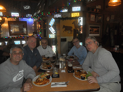
By 2:30 we were unsaddling our gear and heading to LEFF-T’s Steakhouse & Grill restaurant to replenish our burned calories. It was a fun hike. The scenery was superb. The weather was ideal. The company was the greatest, and the meal was scrumptious with big burgers, Reuben sandwiches and a hefty serving of fries. |
|
Pictures throughout this trip report were provided by Dottie & John. |
|
 Top of Page
Arizona Trailblazers Hiking Club, Phoenix, Arizona
Comments? Send them to the AZHC .
updated July 1, 2020