Outdoor Links
Hike Arizona
Trip Planning Guide
Trip Report Index
Calendar of Events
Library
|
Butcher Jones Trail Day Hike Saguaro Lake December 8, 2013 by Quy Nguyen |
|
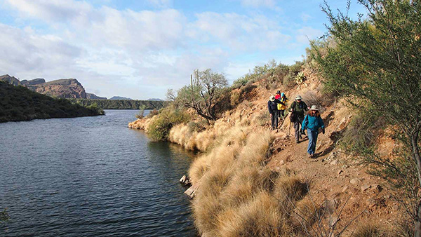
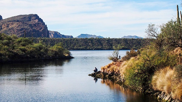
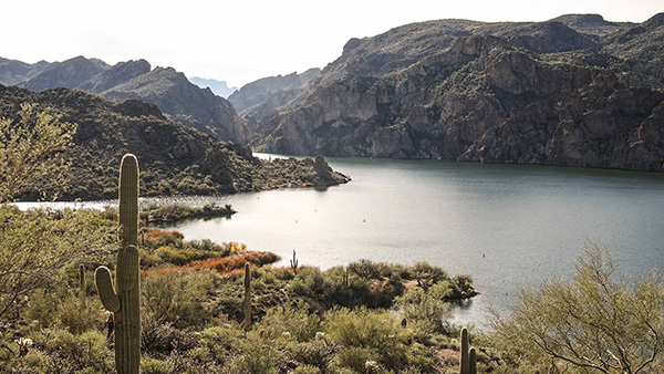
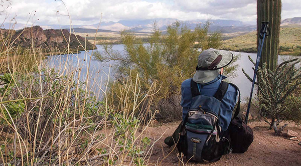
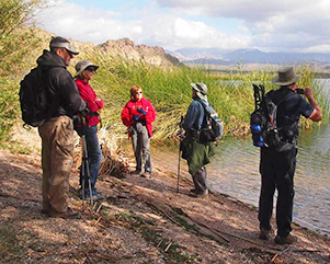
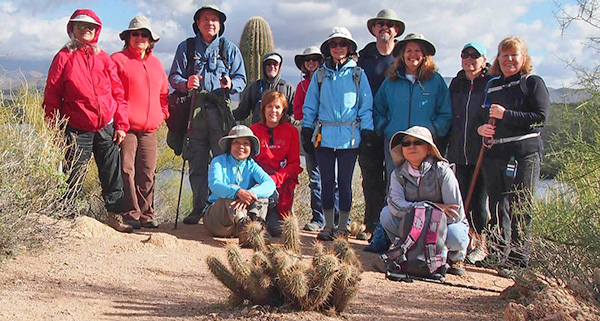 Trailblazers at the eastern overlook of Saguaro Lake. |
||||
|
||||
|
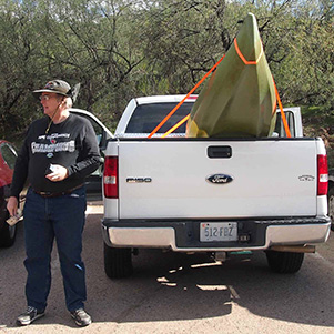
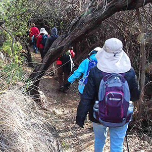
Butcher Jones trail was named after Dr. William J. Jones who was a surgeon in the area. We don’t know how he acquired the nickname “Butcher”. It is a nice trail that allows residents of the Phoenix-Mesa area a great opportunity to get out outside on a warm winter or spring days into the Sonoran Desert with many photo opportunities and excellent lake views. This trail starts at the Butcher Jones Recreational Area on Saguaro Lake. It offers different activities: fishing, swimming, kayaking, and even treasure finding. |
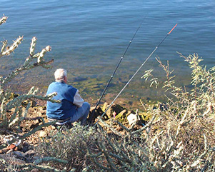 The ol’ fishin’ hole. |
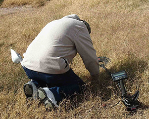 Hmmm, there must be treasure in here. |
|
|
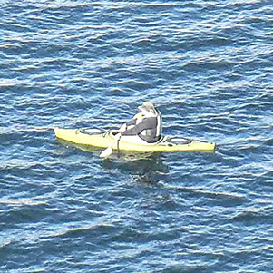
| Michael brings his kayak and goes paddling beside the trail. | |
|
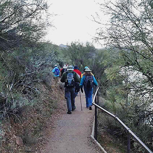
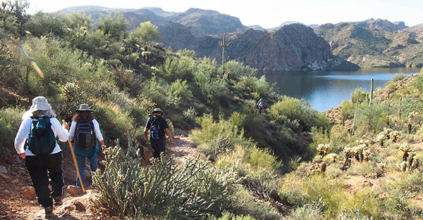
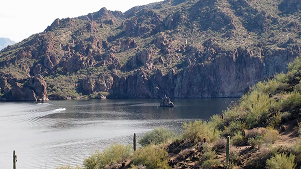
After beautiful shaded pockets of Mesquite trees and bush, we come up to a section which has a railing and pavement. A large boat launch area was removed at Peregrine Point. From this point we can see the Marina, Stewart Mountain and other mountain ranges around the lake. |
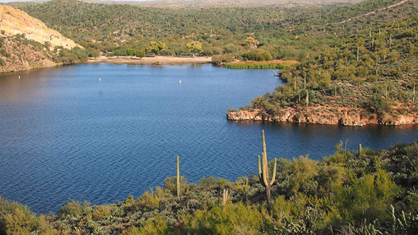
 Forest cover is plentiful at Saguaro Lake. |
 The railing leads to Peregrine Point. |
|
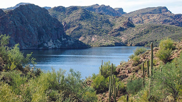
After passing Peregrine Point, the hike contours around a small bay and starts climbing up to a hill. This hill provides some nice views with Four Peaks on the background. |
 The trail winds around an inlet on Saguaro Lake. |
 Westward view, looking out over the lake. |
 Four Peaks rise majestically in the east. |
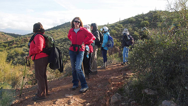 Monika and Debbie enjoy fine views from the trail. |
 Looking back on Peregrine Point and the picnic area. |
|
There is a place where the Flatiron in the Superstitions is framed through Willow Springs Canyon to the south. |
 Distant view of the Flatiron as we approach the water. |
 The trail bends to the southwest, across a wash. |
 The Goldfield Mountains dominate our western view. |

|
On the way to Burro Cove, Debbie shows us a crested saguaro on the ridge of the mountain far out of our camera’s zoom-in. All of us take turns to view it through Becky’s binoculars. |
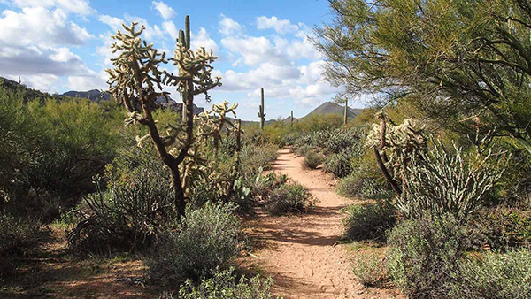 Thriving Sonoran vegetation graces the trail. |
|
At the end of trail, we take lunch and get rewarding panoramic view of Four Peaks. There is a rock in the middle of the lake called Ship Rock, because it has the appearance of an old sailing ship with all the sails up. |
 Cloud-topped Four Peaks are great for meditation. Right, Chuck? |
 Ship Rock has set sail, but isn’t moving. |
|
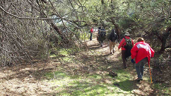
After lunch, only seven people: Quy, Chuck, Monika, Debbie, John F., John S., and Becky, want to hike down to Burro Cove. The rest of the group hike back to the trailhead. The trail to Burro Cove is narrow and covered with nasty bushwhack of Mesquite, Palo Verde trees, and cacti along the way. |
 The trail to Burro Cove gets kind of bushwhacky. |
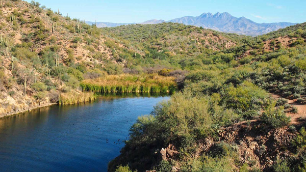
 Burro Cove is nestled in the dense vegetation. |
|
|
| Trailblazers and birds enjoy the view from Burro Cove. | |
|
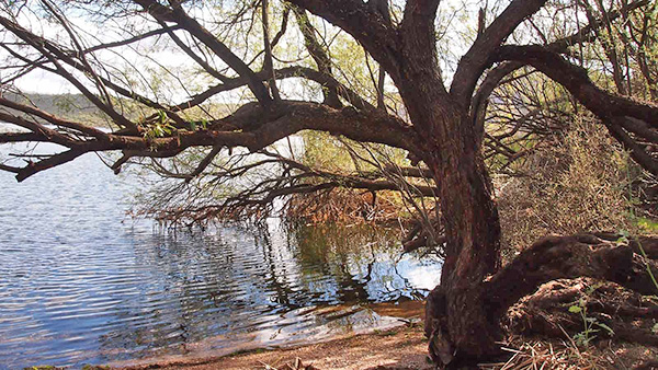
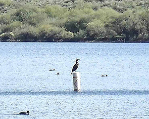
Except for the horrible trash we saw at Peregrine Point and Burro Cove, this is a wonderful trail that has Mesquite trees, Ironwood trees, reeds, water, desert plants, birds, and beautiful views surrounding. Well worth paying for the Tonto Pass to get in. Thanks to all for coming to support my fifth time in hike leading. Happy Trails! |
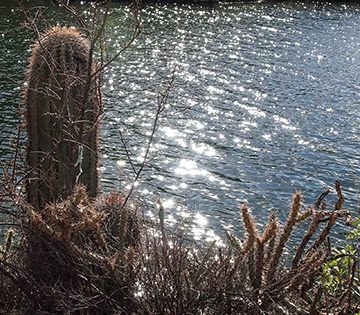 Sunlight sparkles on the waters of Saguaro Lake. |
| This hike is described in Footloose from Phoenix, by Ted Tenny, pages 116-122. | |
 Top of Page
Comments? Send them to the AZHC .
updated May 31, 2020