Outdoor Links
Hike Arizona
Trip Planning Guide
Trip Report Index
Calendar of Events
Library
|
Babe Haught Trail Day Hike Mogollon Rim September 21, 2013 by Quy Nguyen |
|
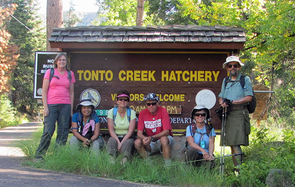 Flo, Quy, Monika, Bill, Eileen, Jim |
|
Never having been familiar with a compass or GPS, I prefer saying “right or left” instead of “north or south”. When I pre-hiked this trail in mid-August I had no GPS guiding me. I used the instruction from the book Day Hikes and Trail Rides in Payson’s Rim Country by Roger and Ethel Freeman. This instruction is very helpful for me in step by step: turn right or left. The trailhead is across from the Tonto Creek Hatchery and it is easy to see with a sign. The first half mile is a relatively easy walk through tall grass; however, we have to look out for fallen branches and small stones under the grass. |
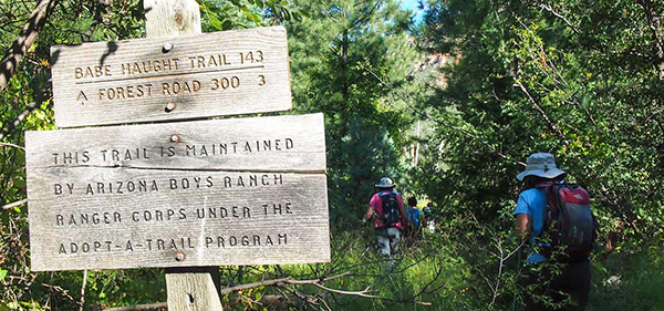 The beginning of the trail is well marked. |
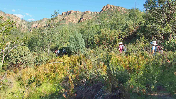 Our hike starts with a walk through the scrub forest. |
|
Eventually, the cool grass parts and the real climb begins. |
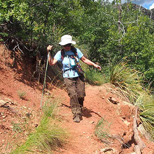
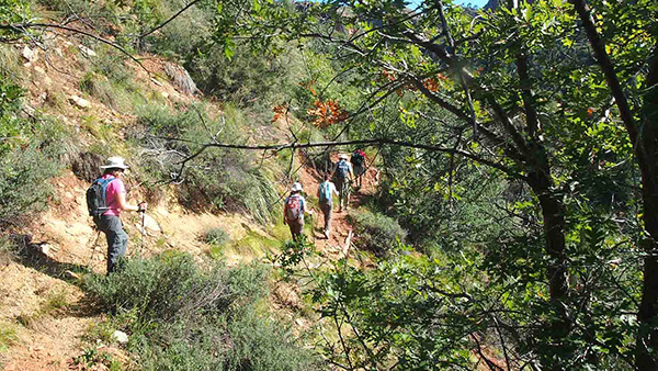 The trail starts climbing gradually at first. |
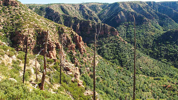
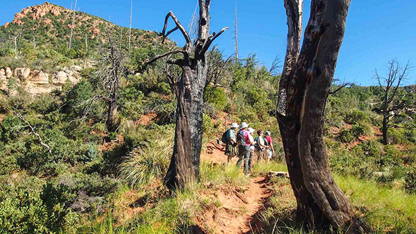 Burned trees line the lower part of the trail. |
 We’re headed for the top. |
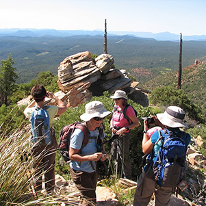
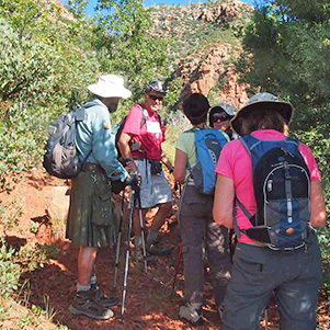 Pausing to confer on the route. |
|
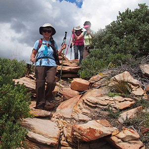
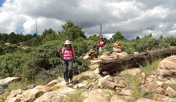
The trail is easy to follow and marked by different sizes of cairns. |
|

|
|
|
What a trail: short and steep, ascending 1400' in about 2 miles. The panoramic views are excellent along the way and make us eager to hike on up to see more. |
|
|
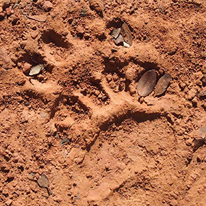
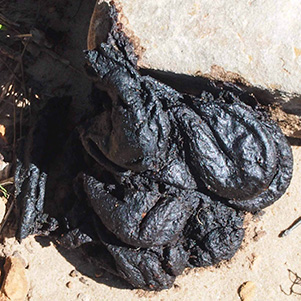
| We didn’t see the bear, but it was here. | |
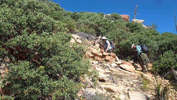
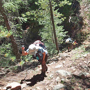
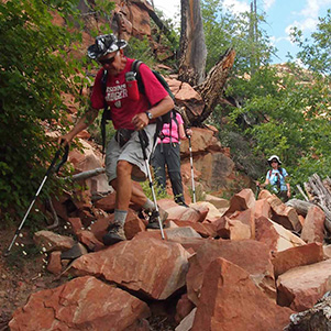
 The trail starts to get steep on the way up. |
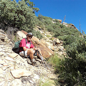 Bill finds a comfortable rock by the trail. |
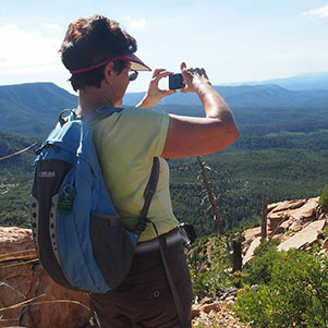 Monika takes advantage of prime photo-ops. |
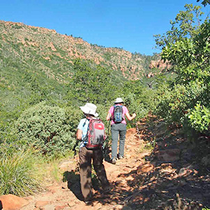
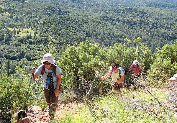
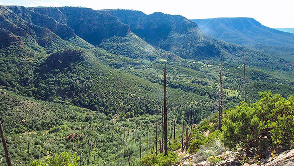 As we climb, the panoramic views get better. |
 We’re getting closer to the top. |
 The trail gets plenty steep up here. |
 We’ve already climbed a long way. |
 Quy, Monika, Eileen, Jim, Flo, Bill |
 What a great picture spot! |
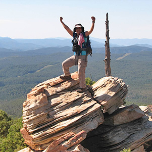 Quy enjoys a mountaintop experience! |
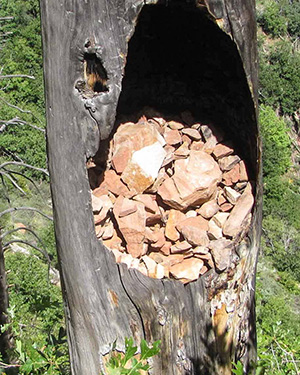
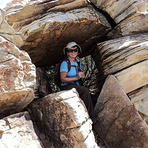 Eileen finds a window in the rock. |
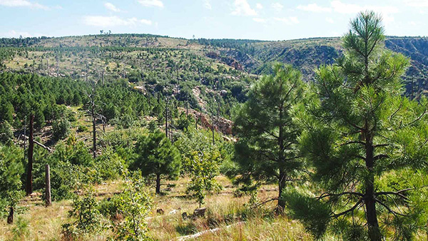 Patchy forest grows on the top of the Rim. |
 It’s a steep climb near the top. |
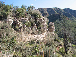 It looks like a cairn, anyway. |
|
Hiking down from the Rim top, the trail becomes much less developed. We have to watch carefully the cairns along the path to FR300. |
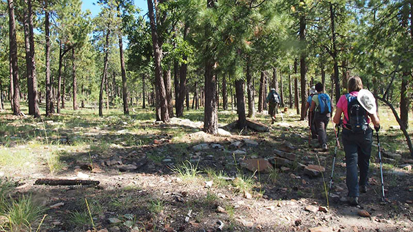 Our trail continues through the woods. |
 Is this the lake we had heard about? |
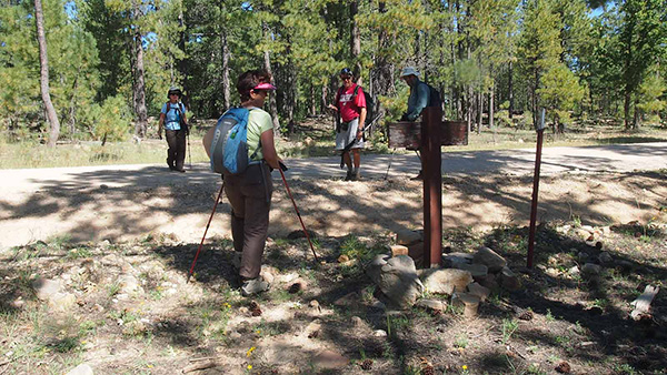 We reach FR 300, the General Crook Trail. |
|
At 10:40 AM we reach the place where the trail exits onto FR300 and continues into the Coconino National Forest by the Baby Haught Trail #98. Bill and Jim asked me if I’ve been on that trail. I told them that I did not continue on past the forest road on my last pre-hike, but I have read that there is a nice lake at the trail’s end in within about 1.5 miles. |
 Bill sees a babe in the woods. First of all, the trail is flat and well marked with cairns, marked-tree sign and ribbons. Unfortunately, the marked-tree is discontinued and there are no more cairns after about a mile. We made the wrong turn to animal path that we think is the right trail. We go back to the trail with the last cairn and find a cairn uphill. No matter how hard it is to climb straight up, we want to see the lake. |

|
|
| Onward and upward. | |
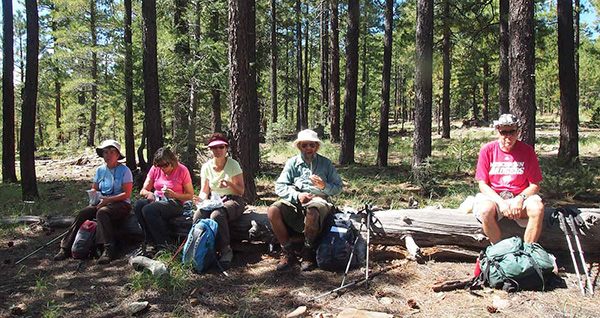 The perfect picnic log. |
|
Bill looked up his GPS map and told us it’s 2-3 miles to the lake. Eileen looked at her GPS and showed us the blue-color-lake just around the corner. We keep hiking about 15 minutes along the road and end up the canyon. OK, final decision: we’re going back. We hike back the way we came. The trail was covered with loose stones, rocks making it quite easy to slip, slide. We went down at a slow pace to prevent injury or sliding down the mountain. |
|
|
| Watch your step on the down grade. | |

|
|
 The slope moderates as we get lower on the trail. |
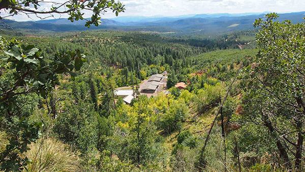 Tonto Creek Hatchery, a welcome sight. |
|
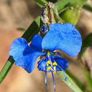
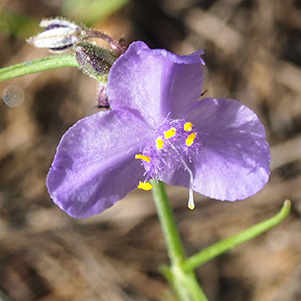
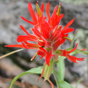
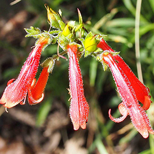
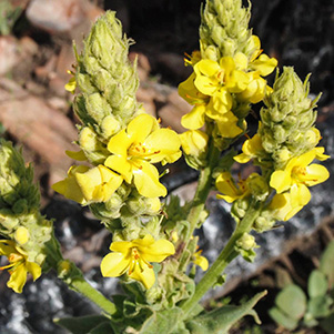
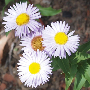
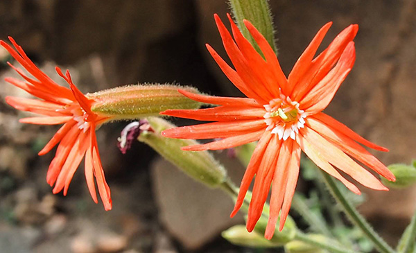
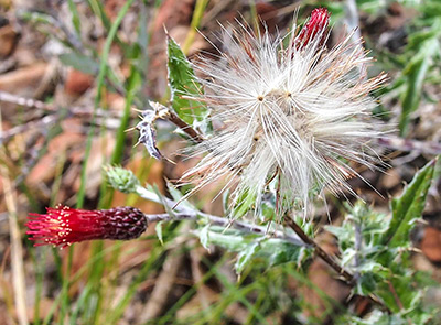
Late blooming wildflowers: |
|
|
|
|
|
|
|
|

|
|
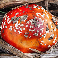
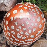
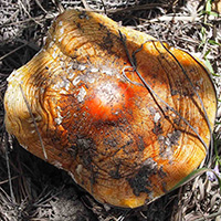
Colorful inedible mushrooms: |
|
|
|
|
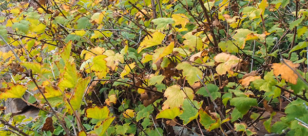 Bright leaves herald the beginning of fall. |
|
|
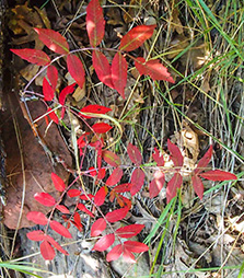
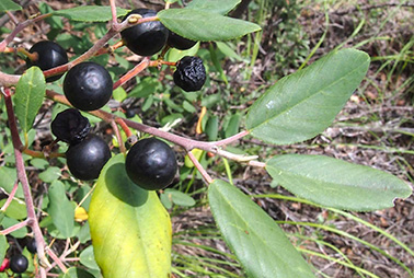
| Sumac and Chokeberries celebrate the season. | |
|
We stop at Buffalo Bar and Grill for refreshment before we head home. |
|
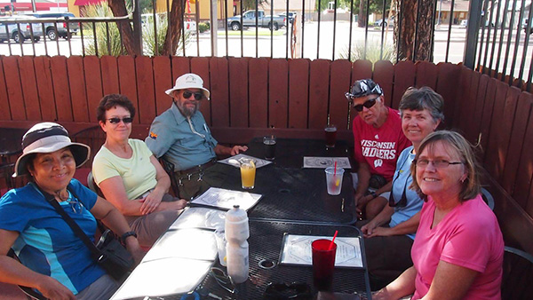 We’ve worked up an appetite. |
|
Thank you all for your support on my second time in leading the hike. Happy Trails to all. |
|
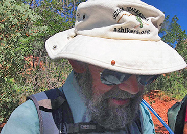 Jim finds the way. |
||||||||||||||||||||
 Top of Page
Arizona Trailblazers Hiking Club, Phoenix, Arizona
Comments? Send them to the AZHC .
updated June 26, 2020