Outdoor Links
Hike Arizona
Trip Planning Guide
Trip Report Index
Calendar of Events
Library
|
Sandy's Canyon Day Hike Flagstaff June 25, 2011 by Dave French |
|
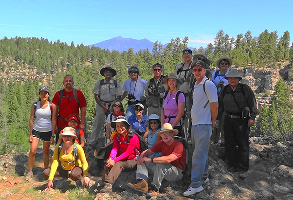 Trailblazers stand before Mt. Humphreys at Sandy’s Canyon. |
|
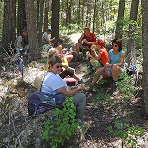
Nineteen members and guests convened at the trailhead which is just north of the Canyon Vista Campground off Lake Mary Road near Flagstaff. We traversed along the rim of the canyon with great views of the San Francisco Peaks in the distance and a major lava field at the edge of the canyon. After stopping for the group photo, we continued along the rim and then began our descent into the canyon. |
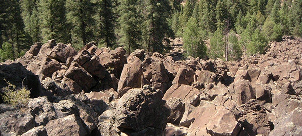 Lava Rock below the rim of Sandy’s Canyon. [picture by Ajay] |
|
The elevation drop is from approximately 6850 to 6600 feet. The trail passes through a good shady forest of pines and other tree varieties. After about 2 miles we joined the Arizona Trail and continued northward toward Fisher Point. |
 Hiking the Arizona Trail, passage 30, toward Fisher Point. |
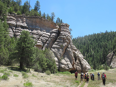 Approaching Fisher Point on the Arizona Trail. |
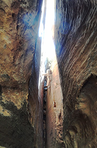 slot in the first cave |
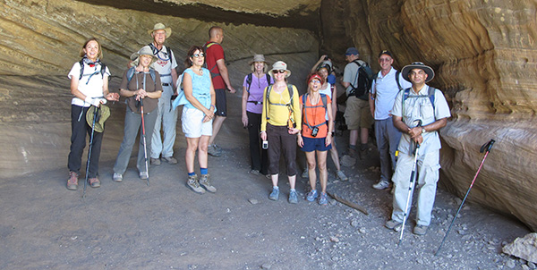 Trailblazers visit the first cave at Fisher Point. [picture by Ted] |
|
At that point we left the Arizona Trail and followed a supplementary trail into Walnut Canyon. |
|
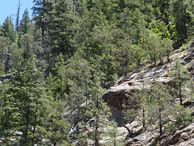
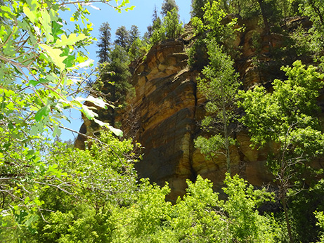
At the mouth of the canyon we encountered the first of three caves and the first of the beautiful and unusual rock cliffs. We proceeded into Walnut Canyon where the trail and the canyon became narrow and shaded by trees. The rock cliffs on each side became higher and more dramatic. The second small cave was visited by some of our group. |
 Ponderosa pines grow out of the rocks. |
|
At about mile 3 we entered the largest of the caves. It is deep enough to need a flashlight to explore. The coolness of the cave was welcomed by everyone. Some of the more adventurous and nimble of the group found a small opening near the floor of the large room and decided to explore further. They were able to crawl through the small opening and found that it led to another opening to the cave near the trail. That turned out to be quite an adventure. |
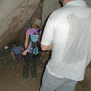 This looks like a secret passage ... |
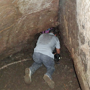 Let’s try it! |
|
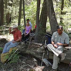
We continued down the trail into Walnut Canyon where the brush became denser and the trail narrower. At the 3.8 mile point we found some old fallen trees in a shady area and stopped for lunch. This was our turnaround point. |
|
|
| We found a shaded picnic area by Walnut Creek. | |
|
After lunch we reversed our path and returned to the trailhead. Everyone made the 7.6 mile round trip in good shape except for a foot blister on one of the guests. |
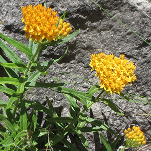 Asclepias tuberosa – Butterfly Milkweed |
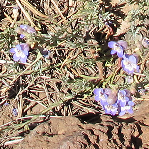 Eriastrum diffusum – Miniature Woollystar |
|
|
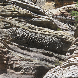
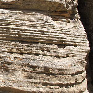
| Intricately eroded rocks of Fisher Point. [pictures by Ted] | |
 Beautiful sights in Walnut Canyon |
Fifteen of the hikers journeyed to Munds Park and had a light supper and drinks at the Pinewood Country Club. Dave’s wife Barbara joined us for these festivities. |
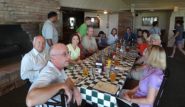 Trailblazers enjoy food and fellowship after the hike at Pinewood Country Club. |
 Top of Page
Arizona Trailblazers Hiking Club, Phoenix, Arizona
Comments? Send them to the AZHC .
updated April 4, 2016