Outdoor Links
Hike Arizona
Trip Planning Guide
Trip Report Index
Calendar of Events
Library
|
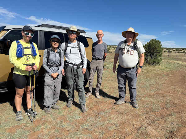
V Lazy Y Cabin Hike Coconino National Forest May 24, 2025 by Victoria Johnson |
|||||||||||||
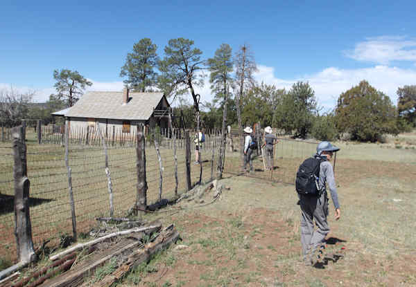
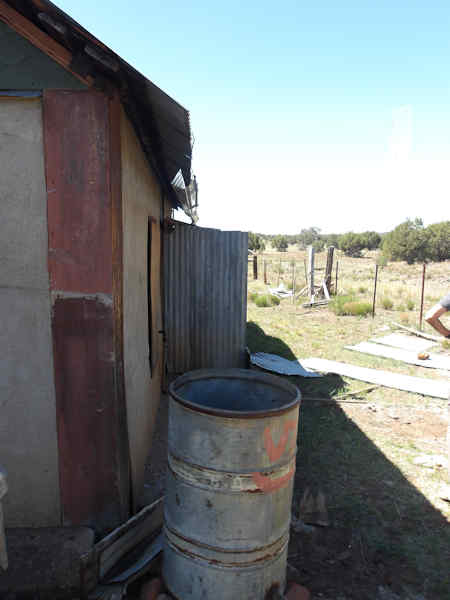
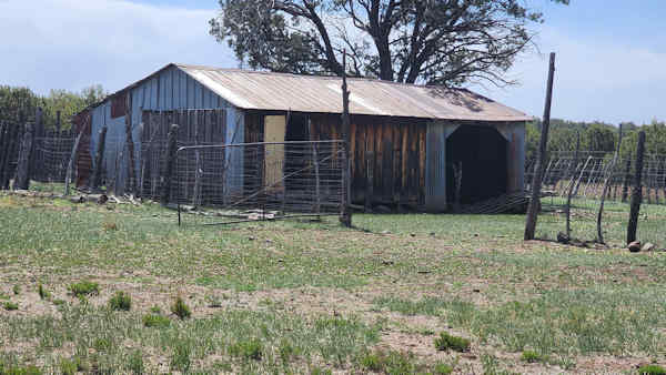
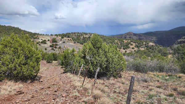
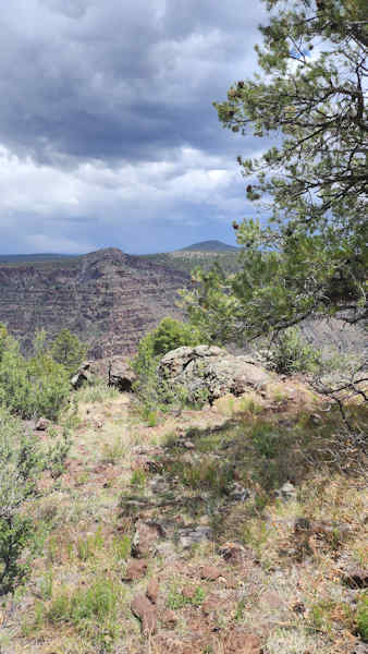
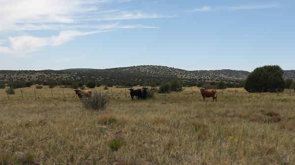
Six hikers showed up on a beautiful Saturday morning to begin this hike in the lower portion of the Mogollon Rim that ended in an overlook on the upper portion of West Clear Creek National Wilderness. The hikers started on Forest Road 142G, one of several rough dirt roads that wandered among junipers and a stand of tall Ponderosa Pines. At approximately 1.5 miles the group encountered The V. Lazy Cabin that was built in the late 50’s. Beyond the corals, the hikers opened a gate that led to Macks Tank No. 1.
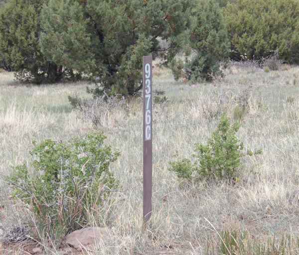
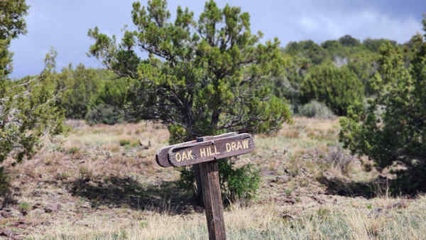
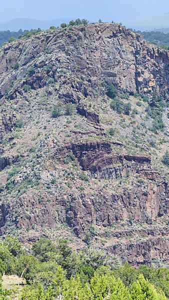
Forest Road 142G intersected Forest Road 9376C from the left. A while later on 9376C you can see a wooden sign with the lettering Oak Hill was on the right. Cliffs of the basal- laden walls of West Clear Creek immediately came into view. A steep slopping dirt road led to the end of Forest Road 937C at Bull Hole where we had lunch. Below us is the West Clear Creek Wilderness. After lunch we headed back and found Vicky at the intersection 9376C and 142G. We all then returned to the cars.
|
|||||||||||||
 Top of Page Top of Page
|
Arizona Trailblazers Hiking Club, Phoenix, Arizona updated June 28, 2025 Comments? Send them to the AZHC . |