Outdoor Links
Hike Arizona
Trip Planning Guide
Trip Report Index
Calendar of Events
Library
|
Four Peaks Hike Mazatzal Mountains May 17, 2025 by Stan Bindell |
|||||||||||||
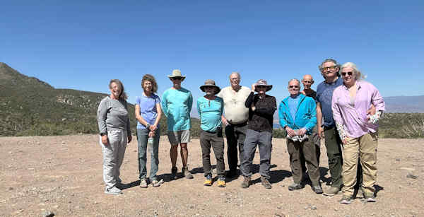
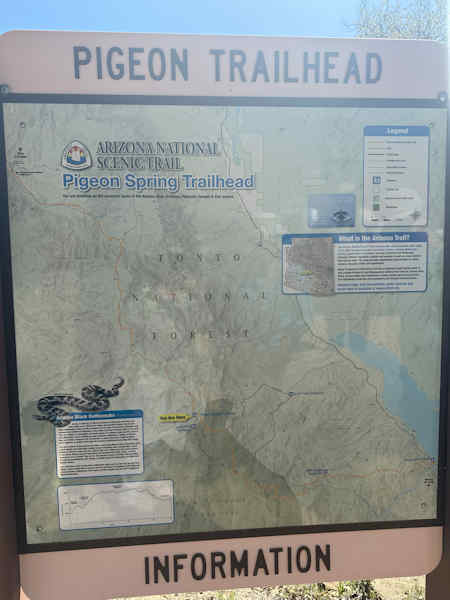
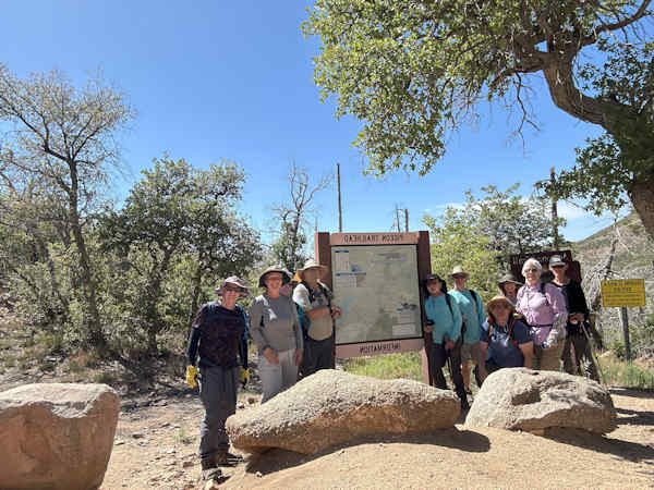
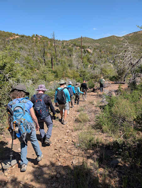
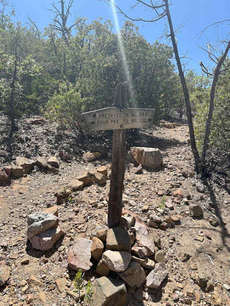
It was a hot day in Phoenix, but on top of Four Peaks it was cool. Four Peak is the same elevation as Flagstaff. The road from Phoenix to Four Peaks is a dirt road. You need clearance, but not 4 wheel drive. There are multiple forks in the rood, but we stayed on the correct road to the top. It takes about an hour to drive the 20 miles on the dirt road. There were 10 of us on the hike. We parked close to where Trail #130 (Four Peaks) begins, but we walked the road to Pigeon Trailhead. The Arizona trail currently get to the top of Four Peaks on the Pigeon trail.
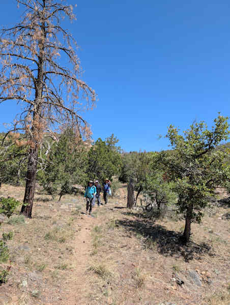
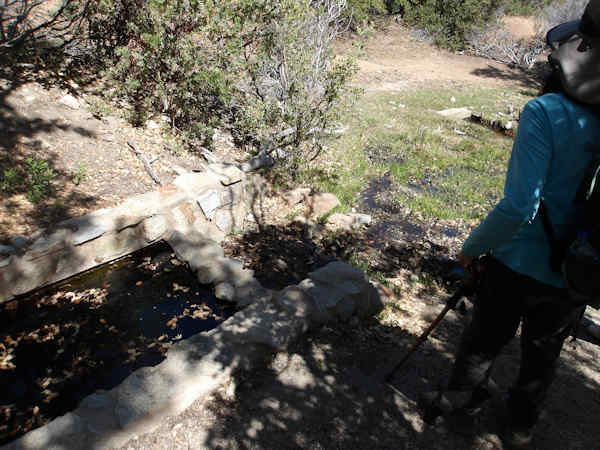
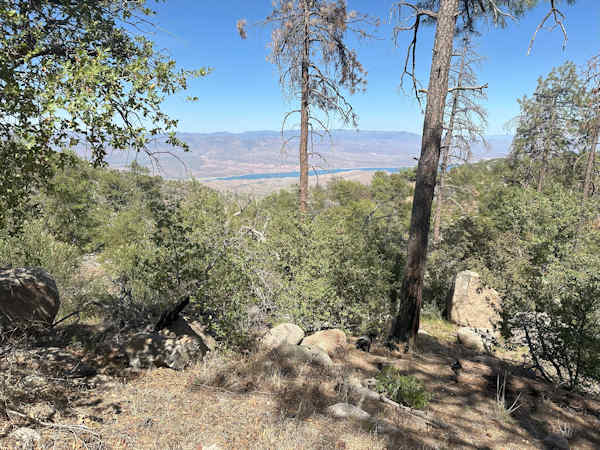
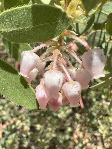
Four Peaks has had a few fires that killed a lot of the trees. This hike in the past was shady, but now it is open. There are a few spots where the trees made it, but they are few an far between. We get down to the wildness sign. They made the supports have 4 peaks. It is still morning and the air is still cool, but this afternoon will be warm as we go back up hill. Pigeon spring is running good and this is a nice spot on the Arizona Trail to camp.
We get to a good spot for lunch / snack. It has tree truncks for seating and shade. We are also at the 3 mile mark.
After lunch we go a little ways on Pigeon to where it end on Four Peaks trail # 130. We go up 130 to the saddle and were it
goes down on the other side of the mountain. Due to the fires 130 path has changed. It ran along the mountain
up high until it got to the trail that went up to the saddle and then 130 went down hill to Pigeon. This is the
trail that lets you bushwack to the top of peaks 3 & 4. Now 130 is a loop trail that circles peak 1 & 2 of the four peaks.
|
|||||||||||||
 Top of Page Top of Page
|
Arizona Trailblazers Hiking Club, Phoenix, Arizona updated June 17, 2025 Comments? Send them to the AZHC . |