Outdoor Links
Hike Arizona
Trip Planning Guide
Trip Report Index
Calendar of Events
Library
|
Pine Canyon Strawberry May 30, 2022 by Li Li |
|
|
Payson’s weather was perfect on Memorial Day with a high of 75 and low of 52. Four of us met at Cinch Hook Trailhead at 8:35 AM for the Pine Canyon hike. The parking lot was very empty except for our cars, so we didn’t have to worry about finding a spot. |
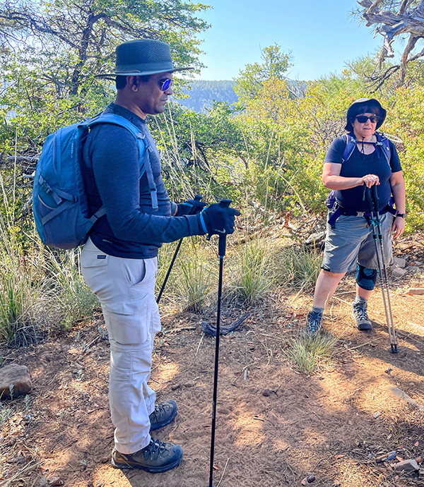 Suresh and Tamar. [photo by Li] |
|
The four of us started hiking right away after a short introduction. Suresh was a guest from the California Bay Area who decided to spend memorial weekend in Arizona and join us for the hike. He was an experienced hiker who has gone to a lot of different places to hike. We were so happy to have a wonderful addition to our group. Pine Canyon Trail #26’s north side started from Cinch Hook Trailhead on the wide Jeep road. It then turned sharply to the left, descending about a hundred feet. After passing a gate on the narrowed path, you would see the beautiful Mogollon Rim across the canyon suddenly appear into your view. |
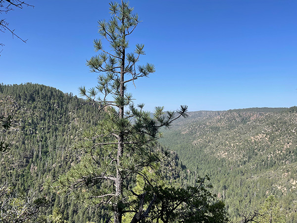 Mogollon Rim. [photo by Li] |
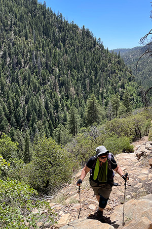
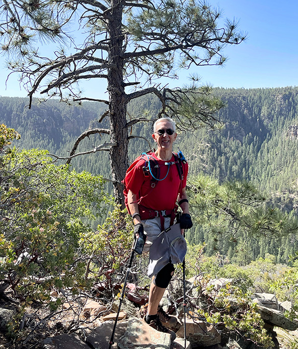 Tom, on the way down. [photo by Li] |
|
From this point on, the trail became steep. After walking down about 1000 feet in elevation over a 2 mile distance, we finally reached the bottom. The trail then leveled out to meet the Stradling Canyon. From here on, it gradually flattened out into the deep forest. After another half mile of walking, we heard the Pine Creek pleasantly flowing on the right side of the trail. Colorful flowers and fresh green ferns covered the ground, making the trail beautiful. The sun shone through the dense forest, making everything bright and surreal. |
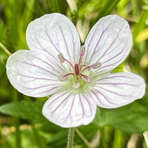
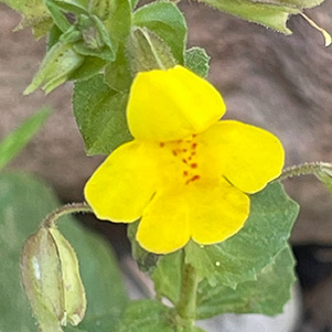
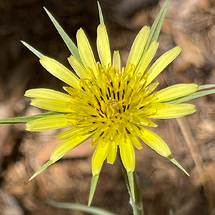
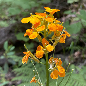
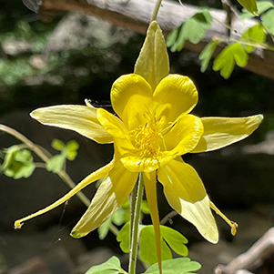
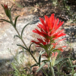
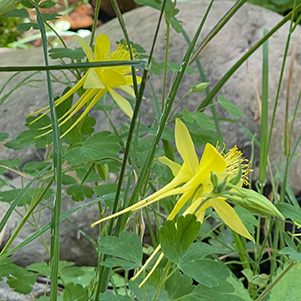
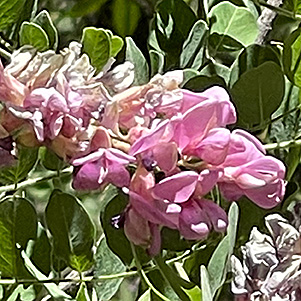
| Lots of flowers. [photos by Li] |
|

|
|
|
|
|
|
|
|
|
|
Tamar and Suresh were walking in the front while Tom and I followed in the back, taking pictures and enjoying the fresh air and scents of the forest. The birds chirped happily, chasing each other from tree to tree. Bees buzzed loudly among the flowers with their legs covered in yellowish pollens. The butterflies danced pleasantly around fully bloomed golden columbines. Under a tall pine tree, a large squirrel jumped into the bushes searching for food. The forest was full of life. Half a mile past the cross section of the Stradling Canyon and Pine Canyon intersection, we reached the sign marked Parsnip Spring which was a half mile on the left. As we continued on the Pine Canyon Trail for another quarter mile, reaching the sign of the tiny cave, which was on the right. |
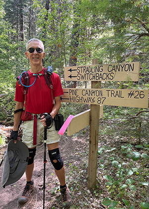 Tom at the Stradling Canyon sign. [photo by Li] |
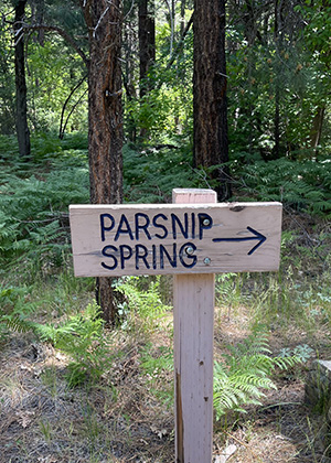 The Parsnip Spring sign. [photo by Li] |
|
While waiting for Tom and me to catch up, Tamar and Suresh went to check out the tiny cave. At the 3 mile mark we reached the bear foot bridge. Standing on the bridge you could see the creek running pleasantly over the rocks, eventually flowing into the lower steams and forming small waterfalls. Many beautiful yellow columbines bloomed in the water area, creating a tranquil environment which relaxed the body and mind. |
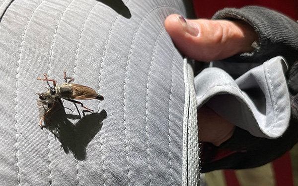 Bugs. [photo by Li] |
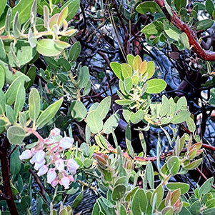
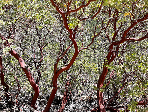 Manzanita. [photo by Li] |
|
We took a lunch break here and continued our journey east by exploring the Bear Foot Trail. I had never been to this part of the trail before although I have passed this area twice in the past. A half mile past the bridge, the scenery started changing from lush green forest to typical desert scenery with alligator junipers, lower bushes, desert locust trees and manzanita. As we continued, we noticed a field of felled manzanita and were curious about the reason for it. Just then a lady came from opposite direction and greeted us. She was a local resident, and told us that last year there was a fire which threatened the houses nearby and forced some people to evacuate the area. This year the Forest Service cut the bushes to avoid fire hazard. After talking to her, we continued another mile before reached the trail junction. My tracker told me that we had hiked 5.2 miles, so we decided it was time to turn around and finish the hike. |
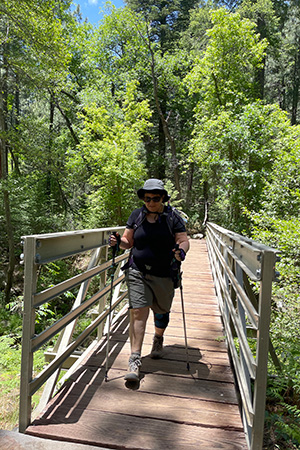 Tamar crossing the bridge. [photo by Li] |
 Tamar on her way out. [photo by Li] |
|
Going back was little harder, since the last two miles involved steep climbing in the afternoon. Though we returned the same way that we came, at a relatively fast speed. Suresh was a fast hiker and finished before any of us. Shortly after, the three of us also reached the end the trail. We had a great Memorial Day in Payson. Our total milage was 10.3 miles with 1673 feet elevation change in 4 hours 56 minutes moving time. → More pictures, by Li. |
 Top of Page
Arizona Trailblazers Hiking Club, Phoenix, Arizona
Comments? Send them to the AZHC .
updated June 24, 2022