Outdoor Links
Hike Arizona
Trip Planning Guide
Trip Report Index
Calendar of Events
Library
Tonto National Forest / Carefree
January 2, 2022
by Rodney Baba
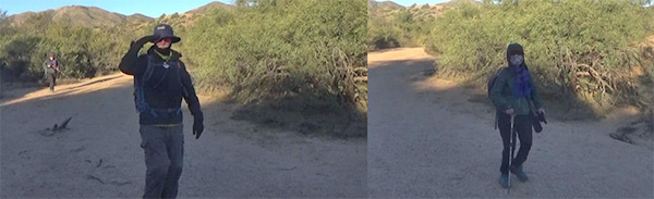
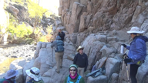
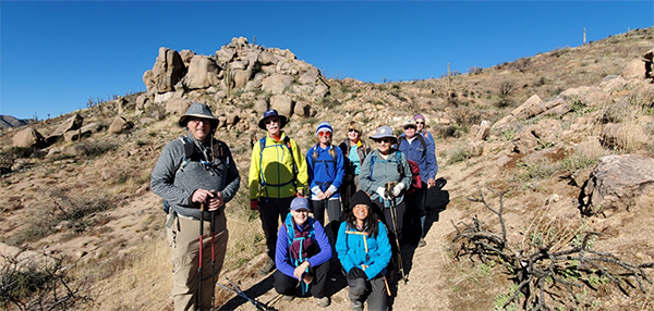
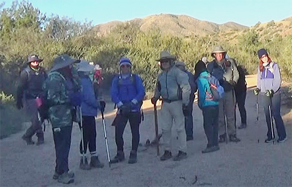 Trailblazers ready for action. |
|
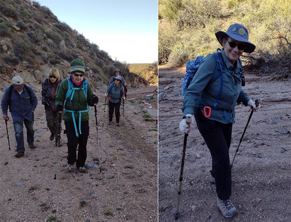
18 hikers met early Saturday morning at the Blue Wash Trailhead for a New Year’s Celebration Hike. We gathered at the trailhead shivering in the breeze enjoying a nice panorama of Four Peaks, Weaver’s Needle, and the Superstitions. We dropped down from the trail head into Blue Wash and formed up for the Arizona Trailblazers New Year’s Day parade. |
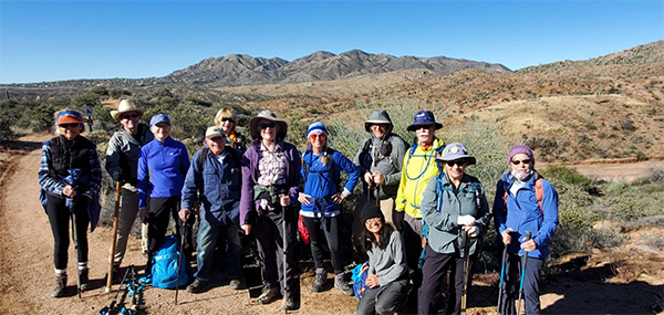
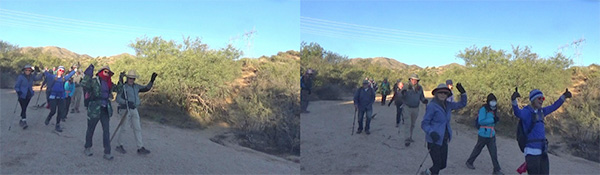 Wendy and Neil lead off the parade followed by Billie, Angel and Debbie. |
 Michael and Eugenie (left), Les and Denise (right). |
 Gail, Barbara, Julie, and Diane (left), Karen and Laurie (right). |
 Terry (left), Jeanne (right). |
| Photos by Rod. |
|
We travelled along the bottom of the wash and found remnants of an ancient civilization (1950s Cadillac). |
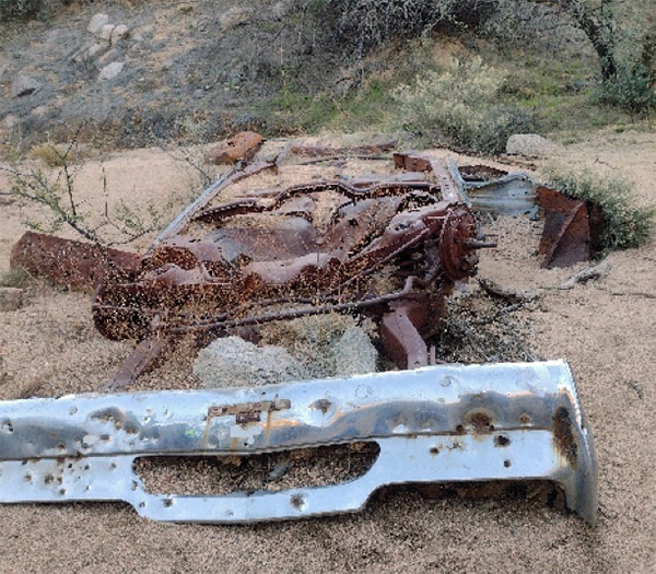 Remnants of an old car at the bottom of the wash. [photo by Debbie] |
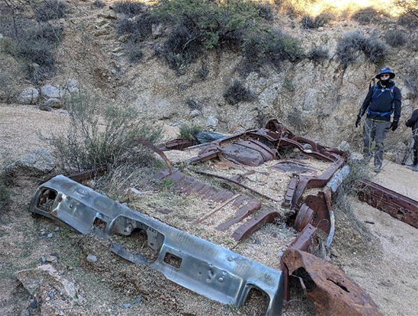 Les thinks he can restore it. [photo by Angel] |
|
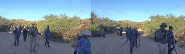
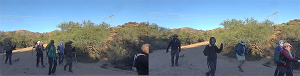
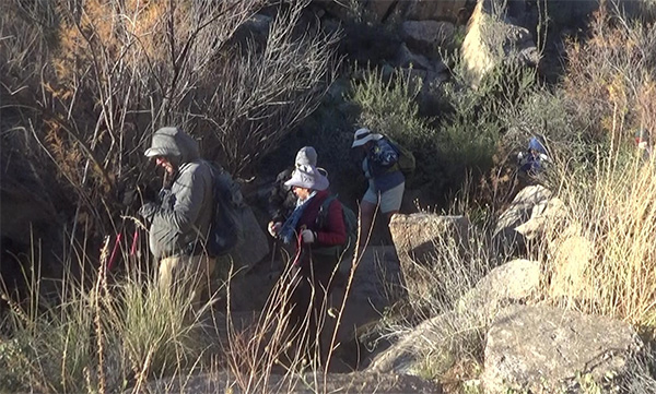
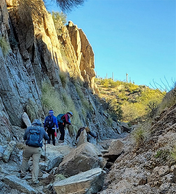
We alternated strolling through sandy wash and rock hopping when the wash sides narrowed. |
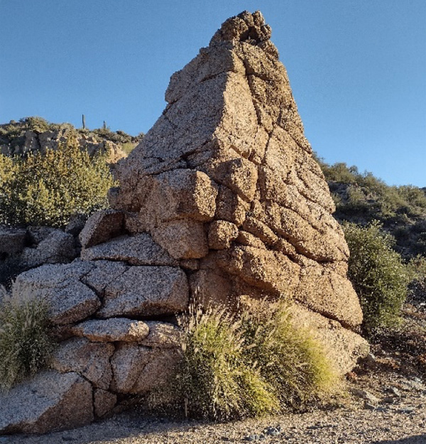 Rock Formation. [photo by Debbie] |
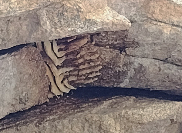 An Old Bee’s Nest. [photo by Debbie] |
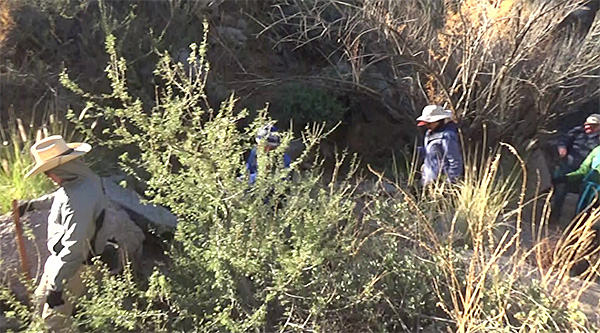 Wandering through the vegetation. [photo by Rod] |
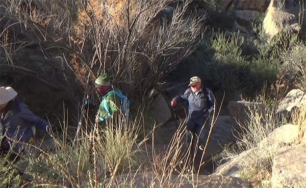 This must be the trail. [photo by Rod] |
 No, it’s over here. [photo by Rod] |
|
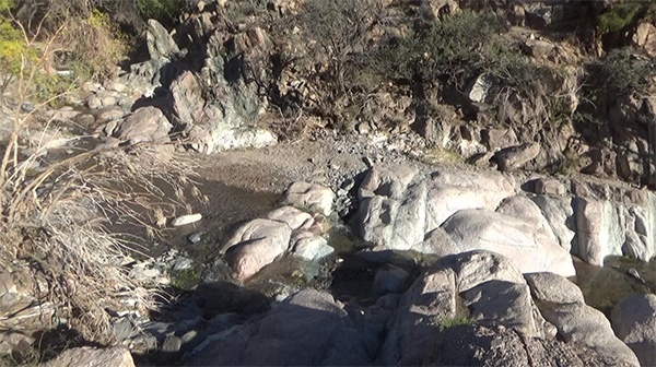
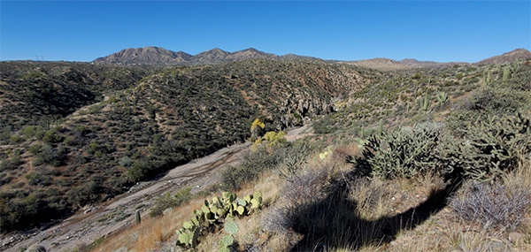
After about a mile Blue Wash converged with Camp Creek. There was a flag at the top of a knoll, marking the location of a mine. We travelled north along the creek lined with Cottonwoods for about a half mile to Camp Creek Falls. |
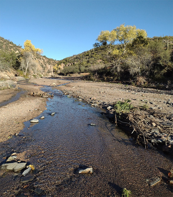 Camp Creek view to the north toward the Falls. [photo by Debbie] |
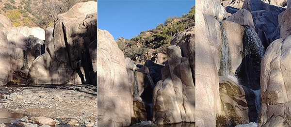
The falls were running strong from the rainfall earlier in the week. |
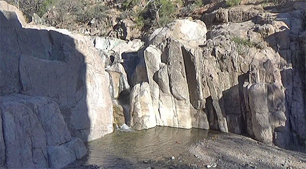 Camp Creek Falls. [photo by Rod] |
 Camp Creek Falls. [photos by Debbie] |
|
The hike leaders held a surprise celebration where we toasted the New Year and captured New Year’s resolutions for a time capsule. We buried the time capsule at the base of a large Saguaro cactus high up the canyon wall. |
 Do you think this is high enough? [photo by Rod] |
 Who wants Champagne? [photo by Angel] |
  Rock playground above the falls. [photos by Rod] |
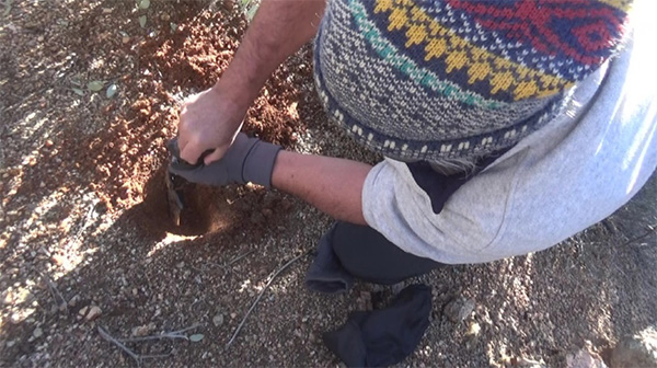 Burying the Time Capsule. [photo by Rod] |
 Heading back from the Falls. [photo by Debbie] |
|
We headed back down the creek bed and the long hike group headed up the Maricopa Trail and the short hike group returned to the trailhead. |
|
Supplemental Report by Wendy Rennert |
|
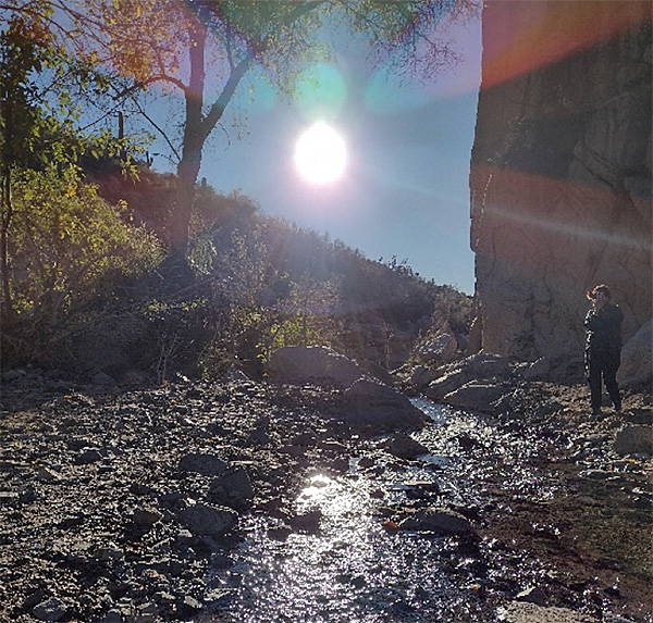
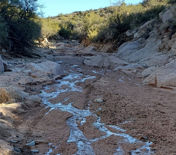
As we left the falls, there were 8 of us on the long hike. Before reaching the Camp Creek / Blue Wash junction, one more Trailblazer joined us just as we turned left at a side wash. The Maricopa Trail is up on top of the hill, but just for variety, we made it a loop hike by going up this side wash and coming back via the Maricopa Trail. The mouth of this side wash, similar to the Camp Creek area, was significantly widened by the summer monsoons. Other parts of the wash were narrow, and we were pleased to see some still water trickling down after the recent rain. There were only one or two spots where we had to watch our footing to get around the water. |
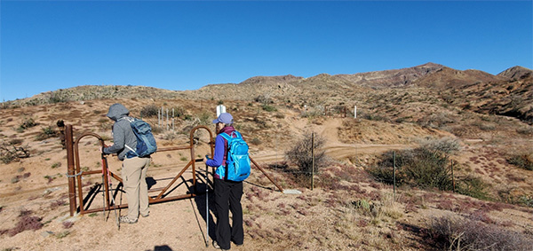
 Ice. [photo by Wendy] |
 Even the sandy side wash had some water in it! [photo by Debbie] |
 The power of monsoons - These boulders definitely were not here the last time I was in this wash! [Wendy] |
|
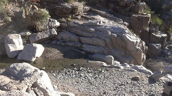
We enjoyed the wash - delighted in seeing the water cascade down the rock slab. Pretty area! |
 Threading our way. [photo by Wendy] |
 Happy hikers! [photos by Debbie] |
|
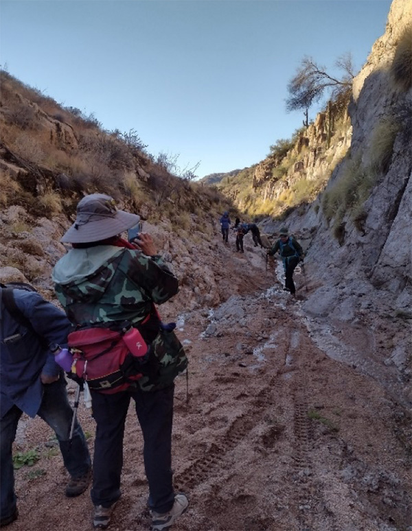
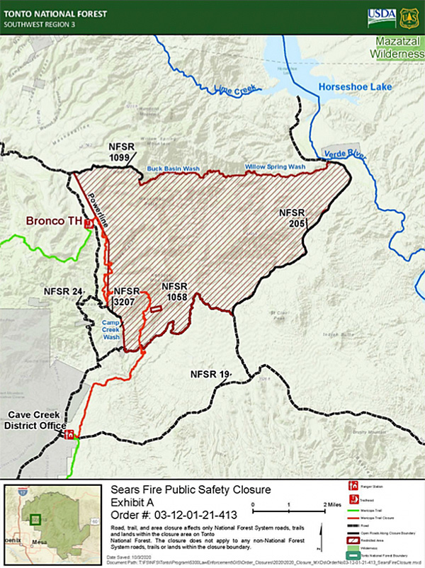
When we reached the junction of the wash and the Maricopa Trail, we turned right and went north on the Maricopa Trail. This is where the burned area from the Sept. 2020 Sears Fire starts (it burned 14,476 acres). We ascend up the gradual switchbacks, and Michael opens the two gates for us that enable us to cross FR 1058 and continue hiking. |
|
 Crossing Forest Road 1058 (4WD) to continue on the Maricopa Trail. [photo by Wendy] |
 Cool patterns in the ice. [photo by Wendy] |
 We’ll get there, believe me. [photo by Debbie] |
|
Despite the burned landscape, there were great views as we sat near the hill of boulders and had a quick snack. We could see Four Peaks, Weaver’s Needle in the Superstitions, The McDowell Mountains including Thompson Peak and Tom’s Thumb, and Pinnacle Peak, among others. It was about two miles from where we left the Camp Creek wash to our turnaround point on the Maricopa Trail. The Maricopa Trail is a 315-mile trail system. The segment we were on runs another 5½ miles north to the Bronco Trailhead, part of the Seven Springs trail system, and then from the Blue Wash junction, it runs another three miles south to the Cave Creek Ranger Station on Bartlett Dam Road (total of 9.9 miles for that whole segment from Bronco – CC Ranger Station). |
 Our turnaround point for today. [photo by Wendy] |
|
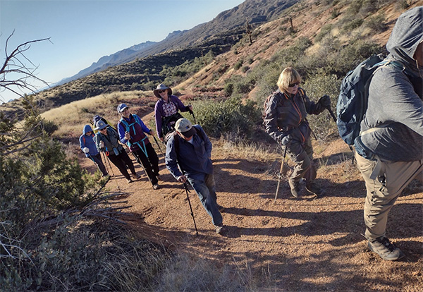
Once we hiked down the Maricopa Trail down to the unnamed wash, this time we crossed the wash and continued on the Maricopa Trail up the other hill. It is on top of this hill where we surprisingly saw a couple of familiar Trailblazer faces – Billie and Neil! Now we are at 12 hikers on the long hike! After a quick picture, we carry on with the hike. |
 Great views from a high point along Maricopa Trail! [photo by Wendy] |
|
We continued along the hill’s ridge, and as we approach the part where it goes downhill again, we stop to check out the great views. We can see Camp Creek wash as it goes up to the waterfall, and as it goes south towards Bartlett Dam Road. The people down in the wash looked like ants! |
 Looking up the Camp Creek wash toward the waterfall. [photo by Wendy] |
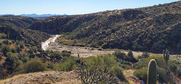 And looking south down Camp Creek wash. It eventually meets with Bartlett Dam Road. [photo by Wendy] |
|
After getting up to 12 people on the long hike, as we proceeded the final leg of our journey up the Blue Wash, four of us wanted even a little bit more variety and hill climbing, so we took the left fork that goes up the hill, while the other eight hikers went back via the wash, passing by the old car parts again. Total mileage for the long hike group was 6.62 miles, and about 1,200 ft. elevation gain. |
|
Sears-Kay Ruins |
|
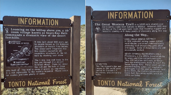
The short hike group piled into Rod’s truck and drove a mile up the road to the Sears-Kay Ruins. The desert foothills in the area surrounding the town of Carefree, Arizona, were home to the Hohokam culture. The Hohokam may have been the ancestors of the modern Akimel O'odham and Tohono O’odham peoples in Southern Arizona. The Prehistoric Hohokam built the Sears-Kay Fort around 1050 AD and abandoned it around 1200 AD. In 1867, 5th Cavalry Regiment soldiers discovered the fort on the Sears-Kay Ranch (visible to the south). It was easy to see the strategic advantage to placing the fort above the Camp Creek watershed. |
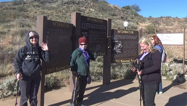 Short Hikers heading up to the Sears-Kay Ruins |
 Trailhead at Sear-Kay Ruins. [photos by Debbie] |
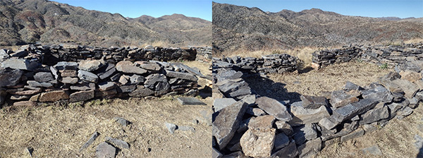 Remnants of a Hohokam structure. [photos by Debbie] |
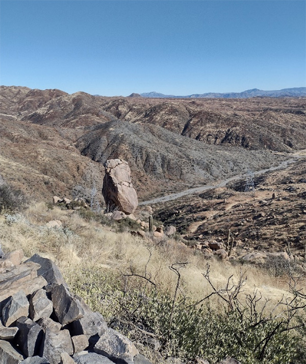 View from the ruins looking south past the monolith toward the Sears-Kay Ranch. [photo by Debbie] |
|
We returned to the Blue Wash trailhead and rejoined the long hike group. |
 Top of Page
Arizona Trailblazers Hiking Club, Phoenix, Arizona
Comments? Send them to the AZHC .
updated January 10, 2022