Outdoor Links
Hike Arizona
Trip Planning Guide
Trip Report Index
Calendar of Events
Library
|
Houston Brothers Trail Day Hike Coconino National Forest / Mogollon Rim December 4, 2021 by Rodney Baba |
|
|
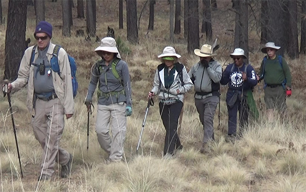
Seven hikers met early Saturday morning for a hike on the Houston Brothers Trail down Houston Draw. |
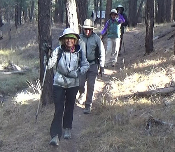 Billie, Neil, Lin, and Laura heading down the trail. |
|
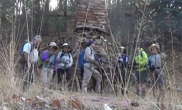
Houston Draw is a picturesque little valley through which a spring-fed perennial stream flow. The scenery here is mostly pastoral with a few photogenic rock outcrops and aspen groves to remind you that you’re in Rim country. It offers an incredible combination of dense forests, lush meadows and a spring-fed stream that attracts all kinds of wildlife. We start where FR95 crosses Houston Draw and hike down a short trail to the Fred Haught Trail. The trails in this area served several purposes during a heyday that stretched over most of the 20th century. The Houston brothers were ranchers who used it for moving livestock from one part of the range to another. The Forest Service used the trail to move fire guards into isolated forest cabins where they were on 24-hour duty during times of high fire danger. Evidence of both pages out of the trail’s history is visible at several locations, including a cabin site which Gifford Pinchot, father of the U.S. Forest Service singled out for its peaceful beauty. Traveling south on the Fred Haught Trail #141, we come to its terminus at Pinchot Cabin, where we take our group picture. |
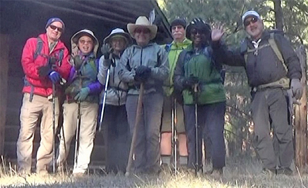 Carl, Lin, Billie, Neil, Terry, Laura, and Rod in front of Pinchot Cabin. |
|
After visiting the cabin, we move down past a hiker registration and a sign marking where the Ubar trail ends and the Houston Brothers trail begins. |
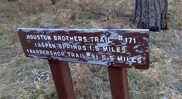 Sign marking where the Ubar Trail ends and the Houston Brothers Trail begins. |
|
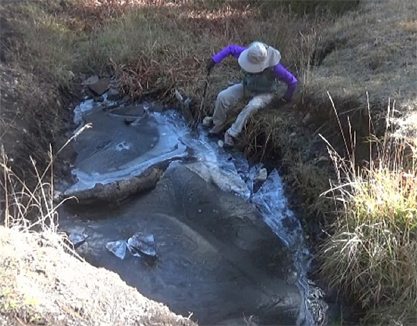
We cross the stream to the west side of the draw and hike parallel to the stream amid pines and broad meadows. Deer droppings are abundant, and we search for wildlife up the many side channels leading west or across the draw on the opposite contour. About ¾ miles from the cabin, we dropped down off trail to visit Pinchot Springs and our second photo op. |
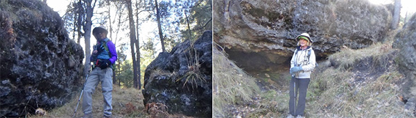 Lin off trail at Pinchot Springs, Billie in front of Pinchot Springs. |
|
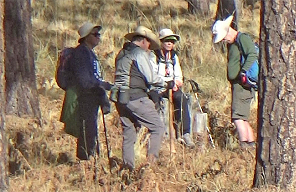
Leaving the spring, we climb gently up the canyon side and follow the contour for ¾ mile leading to Aspen Springs Cabin. We will pause for pictures of the cabin and Aspen Springs before proceeding up the draw. |
 Rod, Lin, Billie, Carl, Laura, Terry, and Neil near the fireplace at Aspen Springs Cabin. |
|
All along the streambed, we encountered pools of frozen water at least an inch thick. |
 Lin testing the thickness of the ice. |
 Laura, Neil, Billie, and Terry, basking in the sun. |
|
As we continued up the draw, we encountered large piles of white rock that did not appear to be naturally occurring. Upon closer inspection, we see that the rocks are being used by the Forest Service to slow erosion in the stream channel. |
 Hi Ho, Hi Ho, it’s down the draw we go. Dopey is behind the camera. |
|
After a mile a tall fence appears ahead. The area inside the fence is designated a Coconino National Forest restorative riparian area. The fence is designed to keep wildlife, livestock, and humans out of the area in attempt to restore and improve the health and sustainability of the canyon floor. After passing the second riparian fence, we find large logs crisscrossing on the side of the trail. This marks our turnaround point, and we return the way we came. |
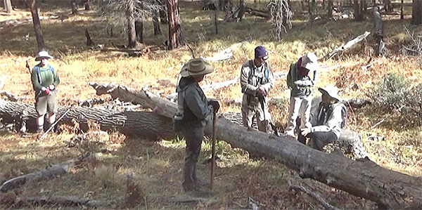 Terry, Neil, Carl, Lin, and Billie taking a break in the sun. |
 Top of Page
Arizona Trailblazers Hiking Club, Phoenix, Arizona
Comments? Send them to the AZHC .
updated December 11, 2021