Outdoor Links
Hike Arizona
Trip Planning Guide
Trip Report Index
Calendar of Events
Library
|
Bushnell Tanks Road Sunflower November 26, 2021 by Tamar Gottfried |
|
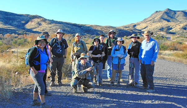 On the road again. [photo by Dave] |
|
Twelve hearty hikers met up at the Bushnell Tanks Trailhead off of the Beeline Highway – just past Sunflower, before Mt. Ord – at 8 AM on Black Friday. Prepared for some fresh air and a means to work off Thanksgiving turkey and pie, we set off on the road with a sense of adventure. We soon passed the turn off for the Arizona Trail, continuing on the road to find a series of stream crossings in a lovely fall-colored riparian zone. We meandered side to side, admiring the cool shade, bubbling brooks, and beautiful tree cover. |
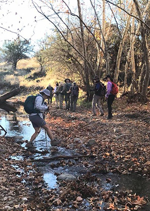 One of many stream crossings. [photo by Gail] |
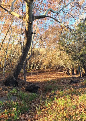 A pleasant clearing. [photo by Tamar] |
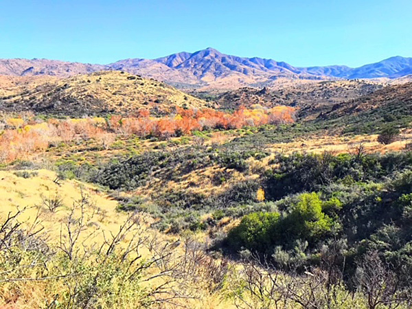 Fall color at its best! [photo by Vicki] |
|
After a while the road opened up, and we sauntered along, reaching the turn off to the old corral before the 2 mile mark. We detoured to explore the corral, which was quite a large operation, and then rejoined the road. As we were expecting to climb hills and go 3.9 miles to the water tank at the turnaround spot, we were surprised to reach that spot after only a gentle incline at the 2.9 mile mark. We were barely getting started! But alas, the road ended and the prospect of a long desert bushwhack, to everyone unappealing. |
 Enjoying the autumn color. [photo by Vicki] |
 The trail isn’t too steep. [photo by Vicki] |
 The road goes for a while, then it ends. [photo by Vicki] |
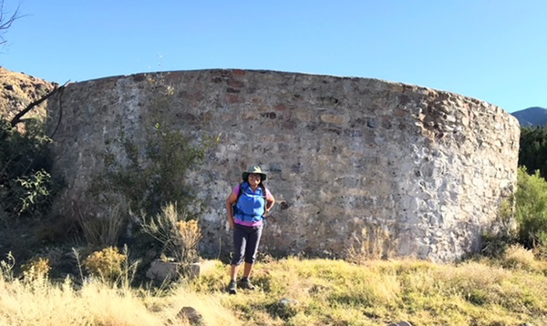 The water tank. [photo by Vicki] |
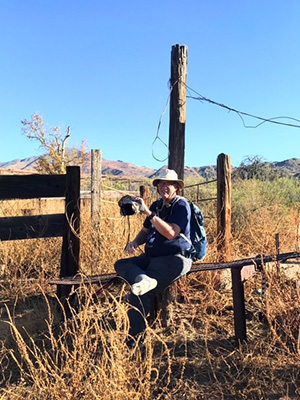 At the corral. [photo by Vicki] After a short break and a few moments to explore a 1950s car graveyard/ shooting range, we started back on the Arizona Trail. This path took us up over the Riparian zone, so we could only look down longingly at that pretty area of multicolored trees. We added a couple miles and 800 feet of elevation gain by taking this way back. Before we reached Sunflower and the highway, we were at the Arizona Trail junction with signs pointing out the way back to the cars as well as the way forward. We turned onto the path to the forest road here and got a little turned around at the water crossing as nothing was well-marked. A little branch-hopping later, we found our original road and made it back to the cars. |
 Which way go we go from here? [photo by Vicki] |
|
It was a fun morning exploring a new area and segment of the Arizona Trail while getting a nice workout and the last taste of fall color for 2021. |
 Top of Page
Arizona Trailblazers Hiking Club, Phoenix, Arizona
Comments? Send them to the AZHC .
updated December 4, 2021