Outdoor Links
Hike Arizona
Trip Planning Guide
Trip Report Index
Calendar of Events
Library
|
Aztec Peak Day Hike Sierra Ancha Wilderness August 28, 2021 by Chuck Parsons |
|
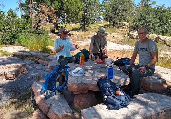
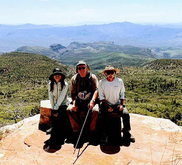
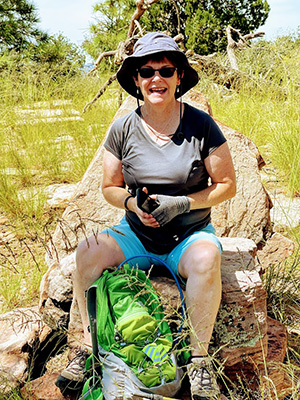
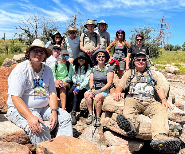 12 Terrific Trailblazers relax among the Flintstone furniture collection. [photo by Li] |
||||
|
|
Talk about a DeJa’Vu moment! Looking back over our last two Aztec Peak trip reports (in fact, the only two), I discovered that I did this hike with our predecessor, the Motorola Hiking Club, and 17 other hikers exactly 22 years ago to the day on August 28, 1999. And not one single person in that group picture (below), except for me, is still hiking with this club. I must be getting really old, in fact let’s be honest about it, older than dirt. This will give you an idea of what much of the Abbey Way Trail looked like in August, 2013: |
 Some we go over and others we go under. [photo by Quy] |
|
Anyone recognize any of these people from 1999? I’m sure Michael does. And Ted Tenny as well. |
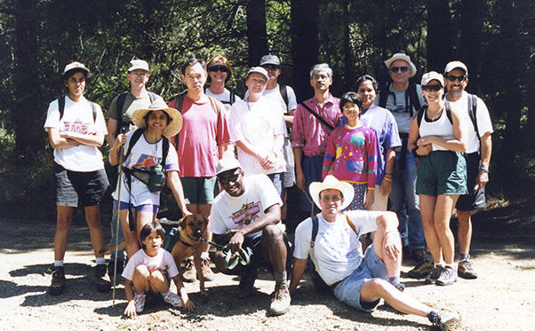 Motorolans hike in the Sierra Ancha Wilderness. [photo by Jeannie Van Lew] |
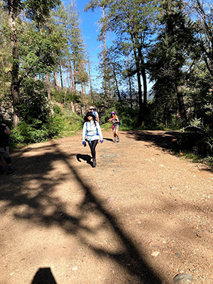
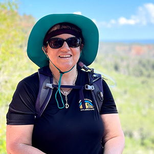
 Trailblazers start gathering at the trailhead. [photo by Debbie] |
 Angel, Carol, and Chris admire the scenery along the trail. [photo by Debbie] |
|
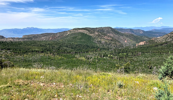
Then flash forward to 14 years later, and here I am leading the second Aztec Peak hike on August 24, 2013, this time with the Arizona Trailblazers. And today, eight years later, we’re doing this hike for the third time, on August 28, 2021. Let’s not wait another 8 to 14 years to do this hike again. The Coon Creek Fire of May, 2000, which torched nearly 10,000 acres of prime forests in the Sierra Ancha Wilderness surrounding Aztec Peak, was the result of yet another careless campfire that got out of control and created much of the downfall as seen in the following picture, which was a major reason, in addition to total lack of trail maintenance, for the difficulty in navigating this trail. Today, 21 years later, much of the visual damage caused by that fire has been at least temporarily erased by the lush plant growth as a result of a very active monsoon season here in Arizona, not only in the desert regions but all over the state. But the after effects of a major wildfire like Coon Creek will take many decades to fully recover from. |
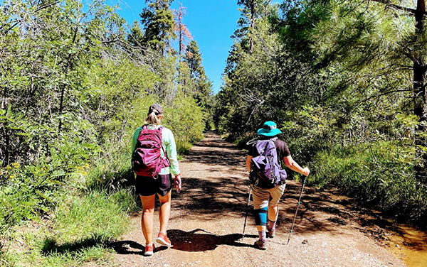
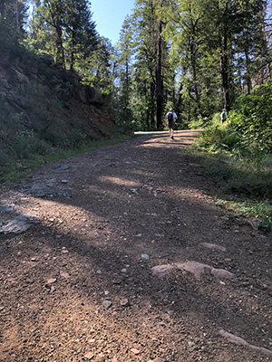 Instead of a trail, we’re hiking FR 487 today. Just think of it as a wide trail. [photo by Carol] |
 The trail keeps steadily ascending to the peak. [photo by Carolyn] |
 Li and Tamar continue working their way up the trail. [photo by Carolyn] |
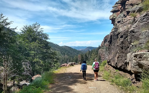
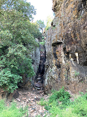 A wide cleft in the rock face. [photo by Carolyn] |
|
Because of the badly overgrown trail conditions on our 2013 hike and recent conversations with two different Forest Service Rangers at the Payson Ranger District, indicating that trail conditions have only gotten worse over the years, I conferred at length with John before this hike. After pouring over trail and road maps for the area and receiving some input from Michael as well, we decide to hike FR 487 to the peak and back rather than tackling the trail again. After finally reaching the peak in 2013, we decided our best option was to hike back on FR 487 instead of bushwhacking back down thru virtually impassable stretches of the trail again. And the scenery was just as good, if not better, because of clearer views from the road. |
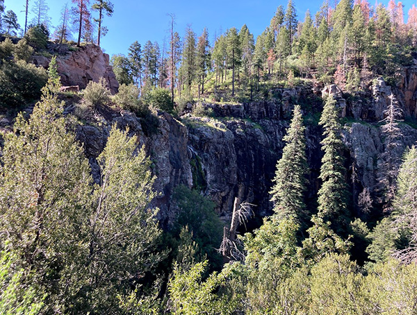 The terrain is becoming increasingly more rugged. [photo by Carolyn] |
 A kaleidoscopic sunbeam splashes across this scene. [photo by Carolyn] |
 Li, Terry, and Debbie are on the move. [photo by Carolyn] |
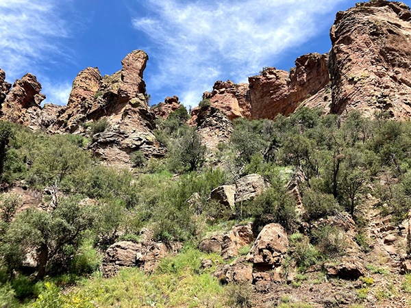
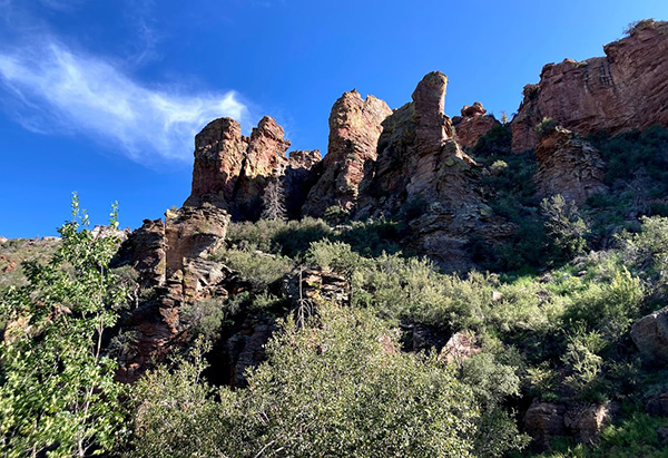 A wonderland of rock sculpture high above the trail. [photo by Carolyn] |
|
So the original plan for today was to drive to Workman Creek Falls (13 hikers in 3 vehicles), which I was told we could do in my earlier conversations with the Forest Service folks, park our vehicles there, then hike the remaining 3.5 miles to the peak on FR 487. |
 Rustic Forest Service cabin near the trail. [photo by Carolyn] |
 This place apparently hasn’t been used in some time. [photo by Carolyn] |
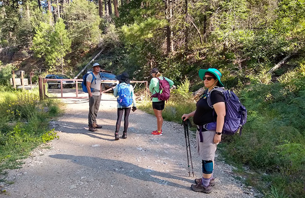
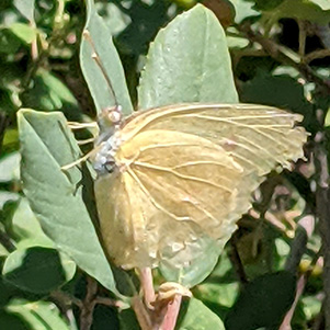
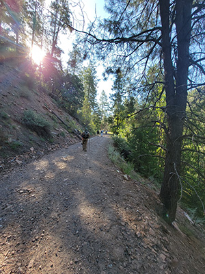
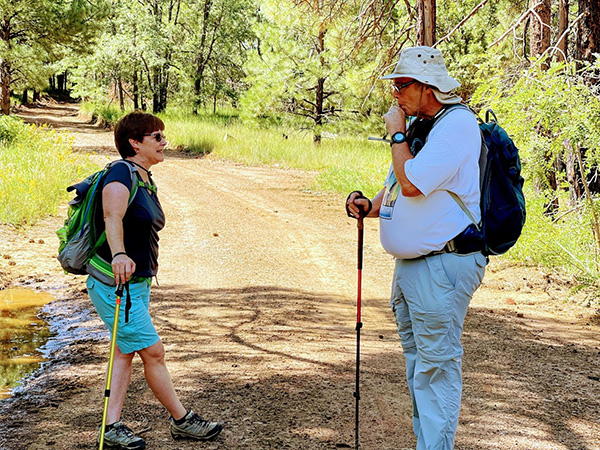
 Butterfly #4 [photo by Li] So we park our vehicles near the gate, then pile out and boot up for the hike ahead of us. But first we gather in a rough circle, make a quick round of introductions and mention our first hike with the Motorola Hiking Club (for a few of us anyway) or the Arizona Trailblazers, or at least the first hike with either club that we can remember. Most are hikes the club has done on several occasions, with a few not so much. Introductions over and a final gear check completed, we’re off and hiking up the road by 8:45 AM on a bright and sunny late August morning in the Sierra Anchas, overlooking Roosevelt Lake far below. |
 A quick dip to cool off, anyone? [photo by Li] |
 This little guy is soaking up some rays. [photo by Li] |
 Fungus on top of fungus? I would steer clear of this one. [photo by Carol] |
 But how about some Elderberry wine? [photo by Carol] |
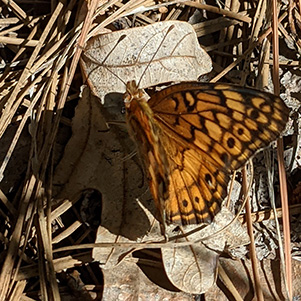 Butterfly #1. [photo by Angel] |
 Butterfly #2. [photo by Angel] |
 Butterfly #3. [photo by Angel] |
 The varying shades of green in this scene reminds John of the Emerald Isle. [photo by Carolyn] |
|
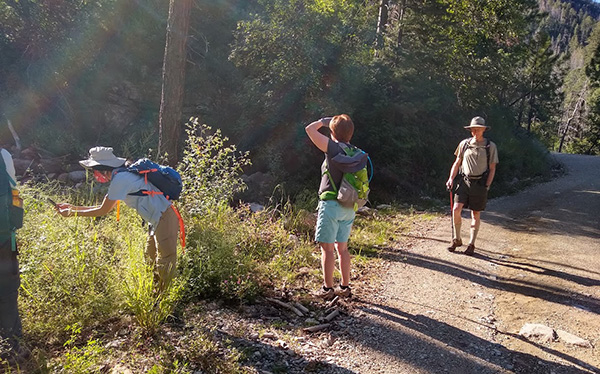
It isn’t too long before the group starts spreading out on the trail, typical for any group of over 4 to 6 hikers. Faster hikers who want to reach the destination first, in this case the peak itself, are always in the lead, with slower hikers bringing up the rear, and everyone else somewhere in the middle. I typically stay near the rear to make sure the slowest hikers don’t get left behind. The longer the hike distance, the more spread out the group becomes, to the point where there might be a quarter-mile spread between the two ends. That’s where our two-way radios come in handy, so the three groups of hikers can stay in touch with one another in case of problems or to note trail hazards, horses or bikers coming down the trail, or trail junctions. |
 Note the rock climbing gear in the foreground. [photo by Li] |
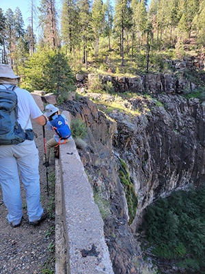
 Scenic view along the upper trail. [photo by Carolyn] |
 Debbie and Terry [photo by Li] |
 Carolyn, Debbie, and Li [photo by Li] |
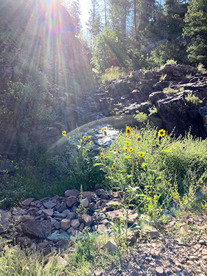
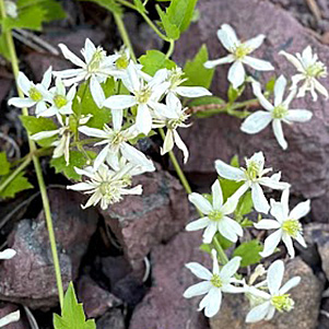
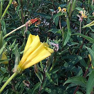 A mini jungle of flowers. [photo by Carol] |
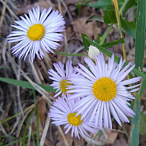
 Fleabane [photo by Li] |
 [photo by Carol] |
 [photo by Li] |
 [photo by Li] |
 [photo by Li] |
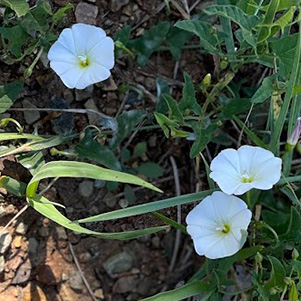 [photo by Li] |
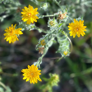
 Goldenrod [photo by Li] |
 Fleabane and penstemon [photo by Li] |
 [photo by Debbie] |
 [photo by Debbie] |
 [photo by Debbie] |
 [photo by Debbie] |
 [photo by Debbie] |
|
Onward and upward we continue trudging on FR 487, upward being the key word here, since we have a little over 1,400 feet of climbing to do before reaching Aztec Peak. Thankfully, we have good forest cover on both sides of the trail, with a lot of shade this early in the day. Hiking back down later in the day will likely be a different story, but it’s all good for now. According to Terry’s Garmin, our starting temperature is a comfortable 78 degrees. You can’t beat that for a late August hike. |
 Workman Creek Falls (far left) is just a trickle today. [photo by Carolyn] |
 Angel tries to capture the falls at just the right angle. [photo by John] |
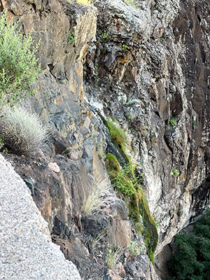 Close-up view of the falls. [photo by Li] |
|
After almost a mile of hiking and gaining several hundred feet of elevation, we finally converge on Workman Creek Falls, at an elevation of 6,447 feet. And once again, just as with our 1999 and 2013 hikes, the falls is a mere trickle today. Several weeks ago, when up to 3 or more inches of rain fell across some areas of the state, this falls probably looked a lot different. But definitely not anything like it did during the infamous Labor Day storm of 1970, when an unprecedented and record-breaking 18 inches of rain fell across much of the Mogollon Rim, nearly 12 inches of rainfall pummeled the Workman Creek area near the falls, and 5-10 inches of rain fell over a widespread area surrounding the creek and the falls. Workman Creek Falls back then would probably have been described as nothing short of terrifying by any witnesses who may have stood near this very spot across from the falls during that Labor Day weekend super storm. Instead of a mere trickle, a raging river of muddy, debris-filled water was exploding off this cliff at an unimaginable rate of thousands of cubic feet per second, or millions of gallons per hour, enough raw power to literally shake the ground all around the falls and cause large rocks and boulders to tumble down from surrounding high places. On September 4th and 5th of 1970, the remains of Tropical Storm Norma, still swollen with moisture from the Gulf of Baja, pushed its way into central Arizona and spawned the deadliest storm in Arizona’s history, with severe and widespread flooding that resulted in 23 deaths. Dozens of creeks, streams, and rivers burst from their banks and resulted in the single deadliest flash flood in state history, when 14 people were caught up in a massive flash flood and swept away along Tonto Creek near Kohl’s Ranch, where most of them were camping over the Labor Day weekend. Witnesses in the area estimated a 30-foot high wall of water and debris slammed down the creek, sweeping away homes, campers, cars, and people. Looking at Workman Creek Falls today, it’s simply unimaginable and inconceivable to wrap our minds around such a tragic disaster that took so many innocent lives 51 years ago this September. |
 Large ant hill, with no ants to be seen. [photo by Carol] |
 Trailblazers steadily work their way up to Aztec Peak. [photo by John] |
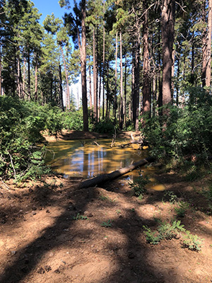 Looks like some recent rainfall in the area. [photo by Carol] |
 We’re getting close to the top now. [photo by Carolyn] |
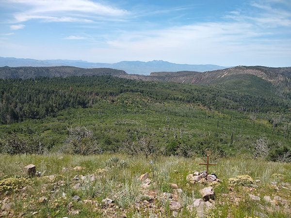 Unexplained cross in the foreground, with Four Peaks in the background. [photo by Debbie] |
 Beautiful scene near the summit. [photo by Carolyn] |
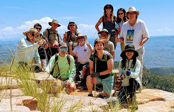 12 smiling Trailblazers are on top of Aztec Peak. [photo by Debbie] |
||||
|
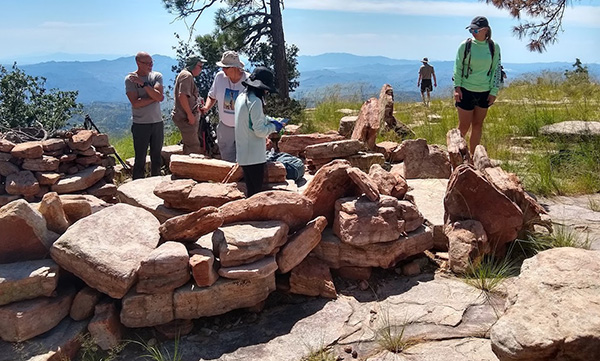
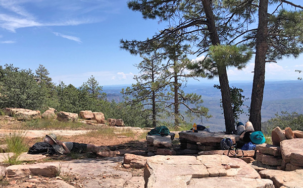
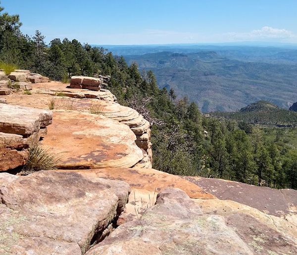
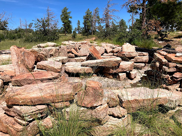 Aztec Peak’s collection of massive Flintstone-style furniture. [photo by Carolyn] |
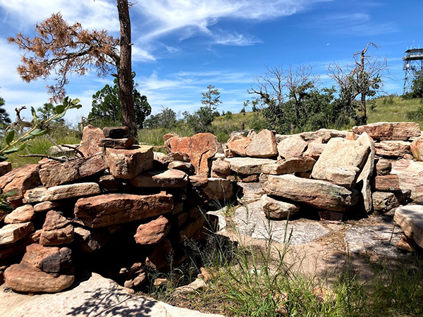 More Flintstone-style furniture on the peak. [photo by Carolyn] |
|
After over two hours of steady and mostly uphill hiking, we finally arrive at Aztec Peak, the highest point in the Sierra Ancha Range at 7,748 feet, a little before 11:00 AM. Massive sandstone chairs, two-ton recliners with arm rests, and a roomy picnic table that could easily seat up to 12 people and must weigh at least 8 to 10 tons altogether, with its four thick sandstone bench seats and large table top, greet us at the peak. Are you kidding me? Is this Arizona’s version of Stonehenge or Easter Island? Actually, no, there’s a much simpler explanation to this mystery, but one that we wouldn’t learn until well after the 2013 hike. |
 Stan, Chris, and Terry gather for lunch. [photo by Debbie] |
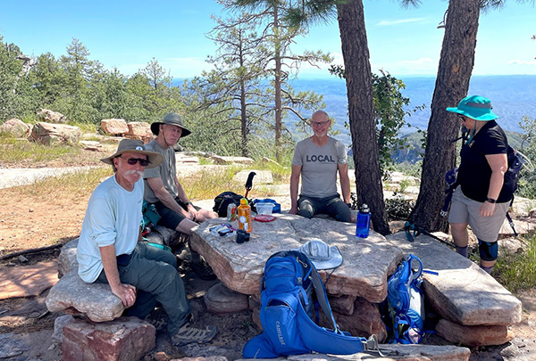 With Tamar joining the group. [photo by Li] |
 Searching for the ideal lunch spot. [photo by Debbie] |
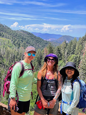
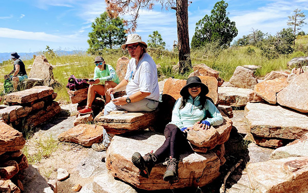 Carol, Carolyn, Michael, and Li have found their spot. [photo by Li] |
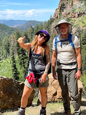
 Carol and Chuck have located the perfect bench. [photo by Li] |
 Li, Chuck, and Stan. [photo by Li] |
|
So here is the real story, sent to me by one Bryan Frost after he read my Aztec Peak trip report in 2013: “I came across this account of a hike by Arizona Trailblazers up Aztec Peak. An enjoyable read. Just to clear up one detail regarding the stone furniture you enjoyed on top. It was built by my brother, Richard Frost, who accompanied his wife Kathy, while she served as lookout. He was a strong man, certainly, and he had no help that I know of. He worked on the seats and tables over several seasons. I believe Kathy had written an account for an AZhiker site (not sure if I have that name right) some time ago. I saw a photo elsewhere that claimed they were built by boy scouts. Amazing what people will come up with in the absence of facts. My brother has passed away, but I like to think of people enjoying this bit of his legacy after a good climb.” Then, to collaborate the origins of this Flintstone furniture even further, this is an Aztec Peak Facebook post, sent to me by Carolyn, from Richard Frost’s own son: “The ‘flintstone furniture’ at the top was built by my dad Richard Frost. My mom, Kathleen Scotten (Frost), was a lookout for the forest service at the tower. He would camp out up there and over time, with strength and perseverance, moved those stones into place with ropes and his bare hands. He passed away years ago and it means a lot to my family that people still enjoy and respect the area today.” |
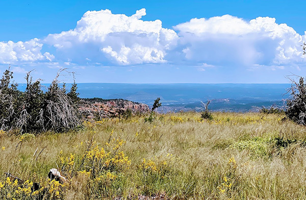
 The views from Aztec Peak are amazing! [photo by Li] |
 Another spectacular view from the peak. [photo by Li] |
 Chris and Tamar take time out. [photo by Carol] |
 Another breathtaking view of the Sierra Anchas. [photo by Carolyn] |
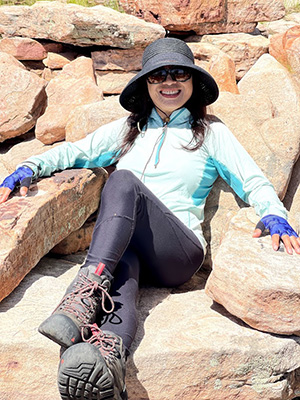 Li in the Flintstone recliner. [photo by Li] |
 Debbie in the Flintstone recliner. [photo by Li] |
 Terry in the Flintstone recliner. [photo by Li] |
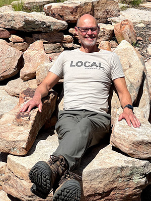
 Michael not in the Flintstone recliner. [photo by Li] |
 Carol in the Flintstone chair. [photo by Li] |
 Carolyn in the second Flintstone recliner. [Li] |
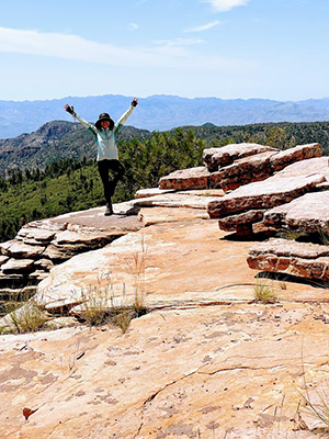 Li is on top of the world. [photo by Li] |
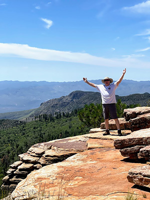 And Jeff as well. [photo by Li] |
 Tamar is a happy hiker. [photo by Li] |
 Don’t take another step back, Terry! And don’t sneeze either! [photo by Li] |
 Stan, Chuck, and Jeff in a silly selfie. [photo by Jeff] |
 Hello up there in the tower! Anyone home? [photo by Li] |
|
Before we all forget, what’s the history behind the name Abbey Way Trail—the trail we would normally hike to Aztec Peak, except for being badly overgrown? This trail is named after Edward Abbey, author, lecturer, park ranger, fire lookout, and self-proclaimed rebel, environmental extremist, and desert anarchist, who worked as a Forest Service Fire Spotter in this very lookout tower during the summers of 1977, 1978, and 1979. The tower itself was constructed in 1956. |
 Stone, forests, mountains, and sky. [photo by Debbie] |
 Storm clouds on the horizon? [photo by Debbie] |
 Cloud cover is definitely building. [photo by Li] |
 Carolyn and Tamar head back down the trail. [photo by Li] |
 Li and Carolyn continue hiking back to the trailhead. [photo by Debbie] |
 Carol and Michael stop for a break. [photo by Li] |
 Great pillars of stone reach for the sky. [photo by Carolyn] |
|
That experience, along with his years as a Park Ranger in Arches National Park, had a profound effect on Abbey and became the inspiration behind his book Confessions of a Barbarian. Abbey also wrote a number of other books, his most famous being Desert Solitaire and The Monkey Wrench Gang. I had the privilege of listening to Edward Abbey speak and read excerpts from several of his books at Scottsdale Community College in the early 1980s. Edward Abbey died at the age of 62 in 1989. The following is one of his more memorial quotes from Desert Solitaire, my favorite Edward Abbey book: Wilderness is not a luxury but a necessity of the human spirit, and as vital to our lives as water and good bread. A civilization which destroys what little remains of the wild, the spare, the original, is cutting itself off from its origins and betraying the principle of civilization itself. We need wilderness whether or not we ever set foot in it. We need a refuge even though we may never need to set foot in it. We need the possibility of escape as surely as we need hope; without it the life of the cities would drive all men into crime or drugs or psychoanalysis. After spending well over 30 minutes on the peak, resting, eating lunch, rehydrating, and taking lots of pictures, we decide to pack up and head back down the trail. And, as expected, it’s warmer on the hike back, especially the more exposed last mile or so after the waterfall. Although several weather forecasts called for mostly cloudy conditions today, it turns out to be just the opposite—mostly sunny conditions, with only a few scattered clouds thrown in for extra measure. So much for accurate weather forecasting. |
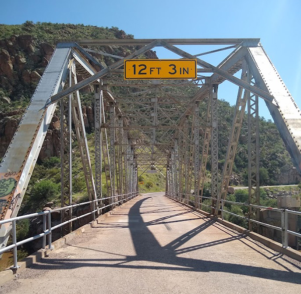 Highway 288 bridge spanning the Salt River. [photo by Debbie] |
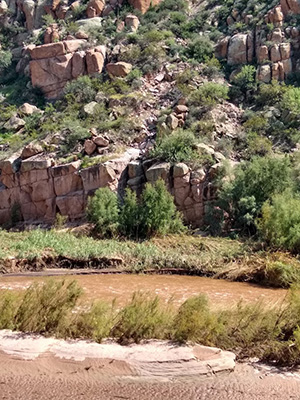 The muddy Salt River flows beneath the bridge, on its passage to Roosevelt Lake. [photo by Debbie] |
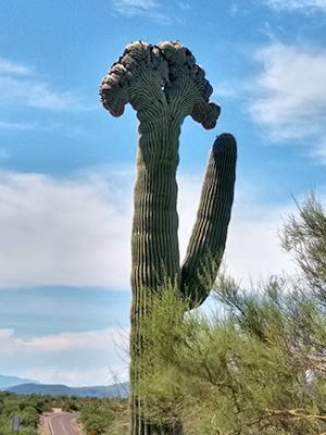 Crested saguaro, spotted along the highway. [photo by Debbie] |
|
By 1:00 PM, we all arrive safely back at our vehicles and prepare for the long drive back home. Except for one or two minor hiccups along the way, our third visit to Aztec Peak has been a great experience overall. |
 Top of Page
Arizona Trailblazers Hiking Club, Phoenix, Arizona
Comments? Send them to the AZHC .
updated September 12, 2021