Outdoor Links
Hike Arizona
Trip Planning Guide
Trip Report Index
Calendar of Events
Library
|
Airport to Arnett Canyon Superior February 1, 2020 by Tamar Gottfried |
|
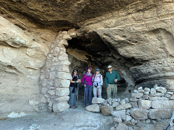
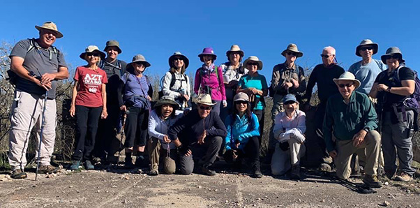 Trailblazers ready to hike. [photo by Quy] |
||||
|
||||
|
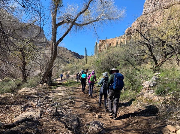
Sixteen Trailblazers assembled on a fine sunny morn at the Picketpost Trailhead. We then hopped into 4 cars, leaving 3, and drove a few miles down the road to the Superior Airport. Had I not known better, I would have mistaken the airport for a field. We left the cars and walked a short bit to the trailhead, where signs for Arizona Trail and Legends of Superior Trail (LOST) welcomed us. |
 This is the way. [photo by Quy] |
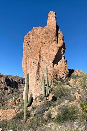
 Hmmm, that looks interesting. [photo by Quy] |
 There was once a mine here. [photo by Quy] |
 Mine your own mine. [photo by Li] |
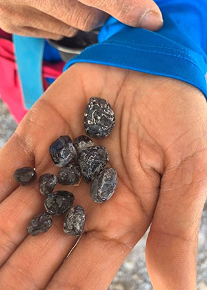 Mineral wealth. [photo by Quy] |
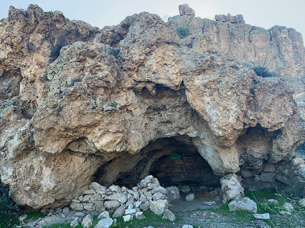
 There’s barely room to stand up. [photo by Li] |
|
Lil and Eileen led the way as we passed through desert on a gentle path. We veered right near the highway to see the deep ruts of an old wagon path about half a mile off the main trail. We then rejoined the trail and went through a riparian area with water and large trees and even a stream crossing. Shortly after walking the log plank, we encountered ruins of an old mine and explored a bit. Down the road, we saw the pit of another mine and found the foundation of an old house, where we stopped for a snack and a photo. A little more walking on a road and we were led down a path to some ancient dwellings cut into the hill. We even saw some rock art, but it was difficult to tell if this was ancient or more modern. |
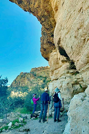
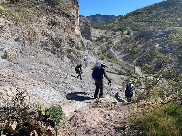 On the trail again. [photo by Quy] |
 The trail goes through a riparian area. [photo by Quy] |
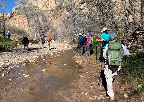 Wet feet are possible. [photo by Quy] |
|
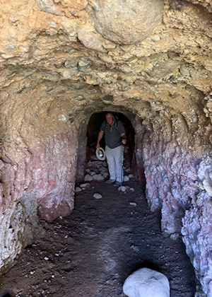
After enjoying the cool caves, we bushwhacked a little and went up to the road again. This led us to a junction where we could go up to the Apache Tears mine or across to join the Picketpost Perimeter path. Most of us elected to go up and down a steep hill and explore the mine. There was even an old shed built into the rock. |
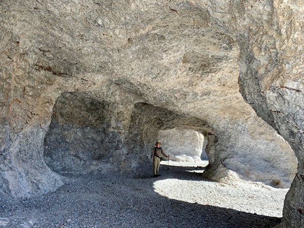 We found an intriguing tunnel. [photo by Li] |
|
We continued on a path until we found a gate for the Arizona Trail. Shortly after, we found ourselves a nice little stream with plenty of large sitting rocks and we took a break and had our food there. As we were leaving, we ran into a few horses and their riders. The horses were happy to finish off some leftover apples. Next up was the verdant path through Arnett Canyon, full of trees and grass, amazing rock formations and stream crossings. Eventually we passed an old dam and reached the path that veered off onto the new Arnett Canyon Legends of Superior segment. We continued up and out until we reached the far Northeast edge of the Picketpost Trailhead. |
 Look, but don’t touch. [photo by Li] |
|
Some of us had been planning to hike back to the airport, but given that we had already done 7.5 miles, it was 2 PM and the temperature was warm, we felt comfortable calling it a day and shuttling back to the other cars. Tired and hungry, some of us met at Los Hermanos in town for some grub before heading home. A big thank you to Lil and Eileen for showing the rest of us this pretty and historical path through the desert. It was amazing to see how many wonders exist just parallel to US 60. |
 Top of Page
Arizona Trailblazers Hiking Club, Phoenix, Arizona
Comments? Send them to the AZHC .
updated February 7, 2020