Outdoor Links
Hike Arizona
Trip Planning Guide
Trip Report Index
Calendar of Events
Library
|
Sandy's Canyon and Fisher Point Flagstaff May 16, 2020 by David French |
|
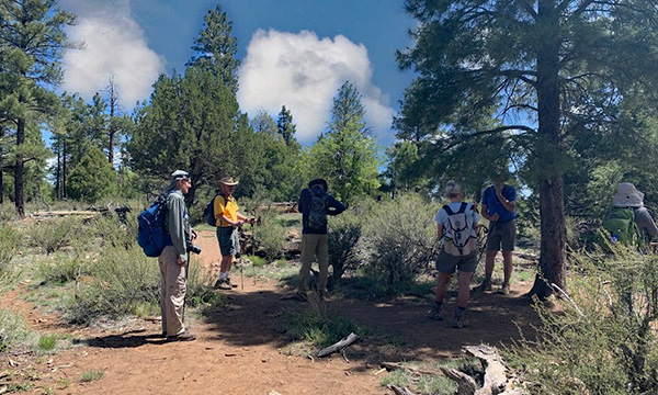
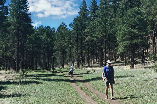
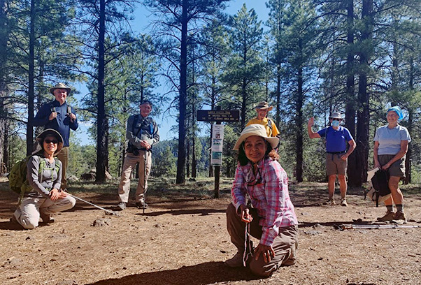 Trailblazers at Sandy’s Canyon Trailhead. [photo by Quy] |
| Lin, Randall, Carl, Quy, Dave, John, Bo |
|
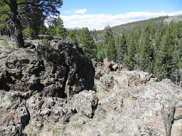
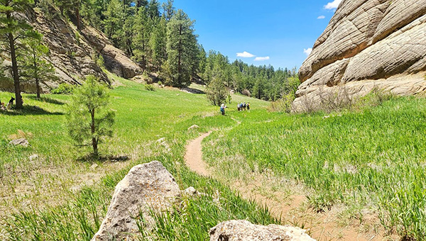
With the COVID19 virus still creating havoc, the Arizona Trailblazers limit each hike to 10 people. I had 10 signed up but only 7 showed up. One called in sick, one was late, and one just forgot. After waiting a while for two of the hikers to show, Quy took the group photo of the seven of us and we started off. Just then, the late hiker showed up but needed some time to put on hiking gear, so she said for us to go on without her. It was a beautiful clear morning the temperature in the mid 60s to start and mid 70s when we finished. From Sandy’s Canyon Trailhead, we headed west and soon started dropping down into Sandy’s Canyon. This trail is very pretty, with lots of trees and interesting scenery as the trail drops quickly. |
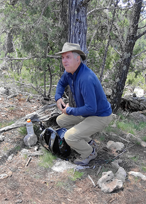
 Carl and Bo pause briefly. [photo by Dave] |
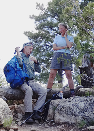
 Randall takes a break. [photo by Dave] |
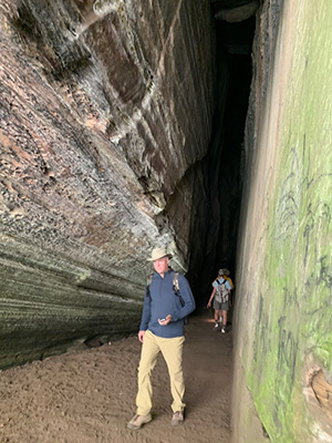
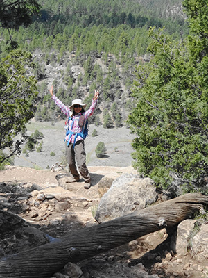 Quy at Fisher Point. [photo by Dave] When we started down, we met the one hiker who started late, but again she asked us to continue without her. When we reached the bottom, we turned left and headed into Walnut Canyon and the first cave. This “cave” is in a beautiful sandstone cliff and provides some wonderful shade and almost always a cool breeze. It is not technically a cave; it is more an entrance to a slot exit up through the sandstone. |
 Lava flow with Mt. Elden in the background. [photo by Dave] |
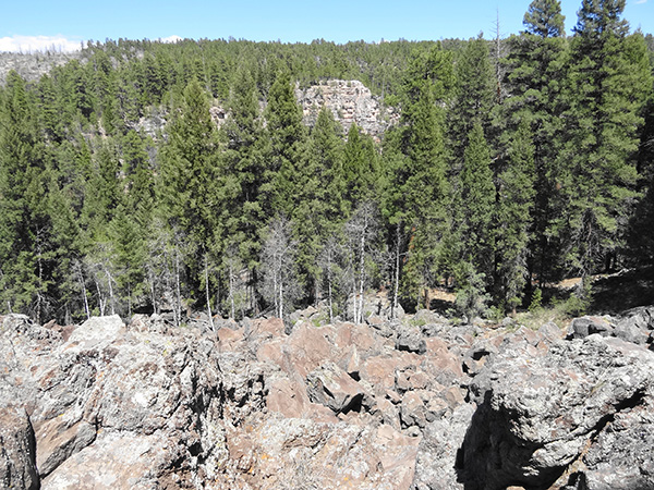 Lava flow with rock-climbing cliff in the distance. [photo by Dave] |
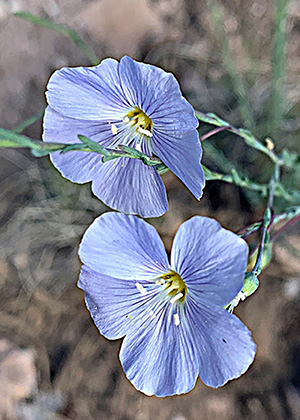
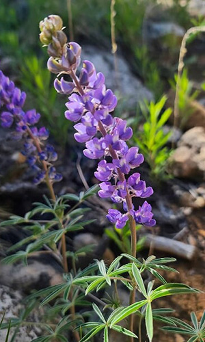
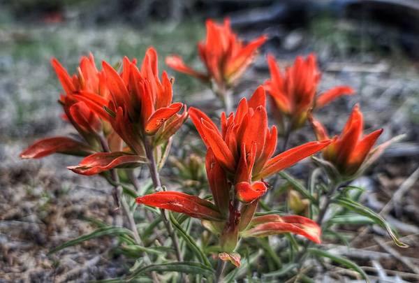
| Wildflowers grace our passage. [photos by Lin and by Quy] |
|
|

|
|
|
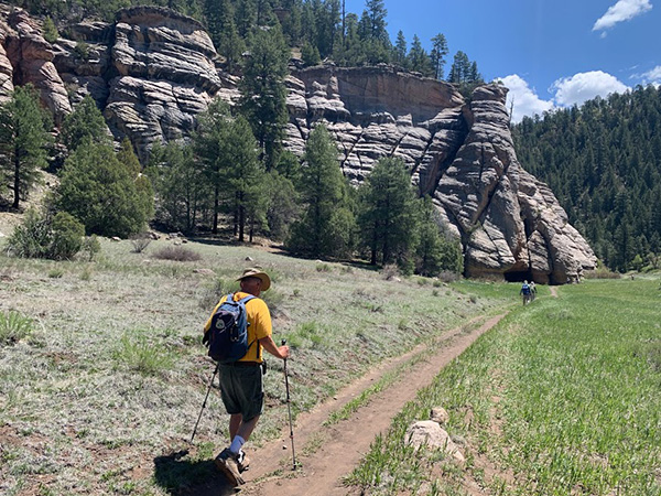
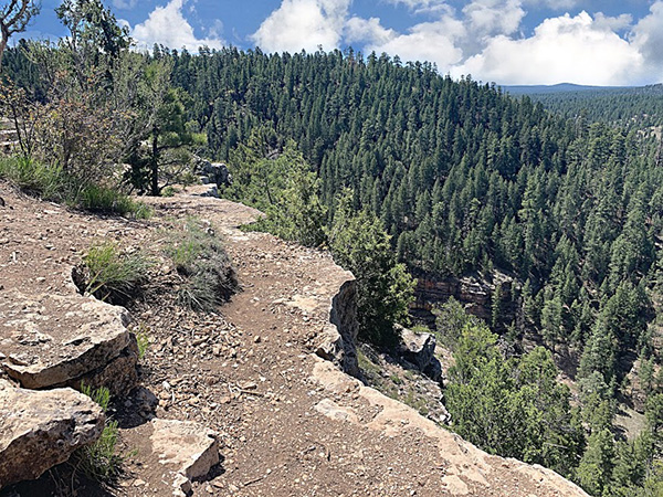 Walnut Canyon from Fisher Point. [photo by Quy] |
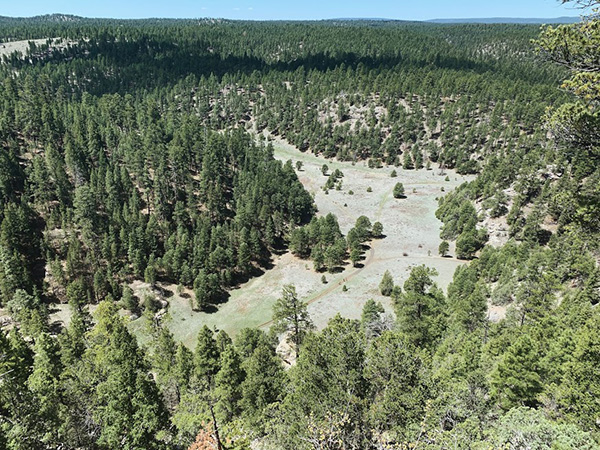 Looking south from Fisher Point. [photo by Quy] |
 Ready to head down. [photo by Quy] |
|
We continued into Walnut canyon to two more caves, one is just a nice shelter area but the other is quite deep and very tall. You need a flashlight to explore this cave. In the back of the cave, there is a small opening at the floor that small people can crawl through to exit into Walnut Canyon. The first person that I know that did this is Quy, and since then it is known as the Quy hole. |
 Let’s do the Twist. [photo by Lin] |
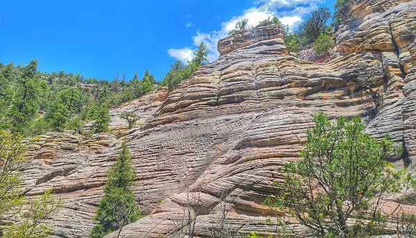 Layers of rock at Fisher Point. [photo by Lin] |
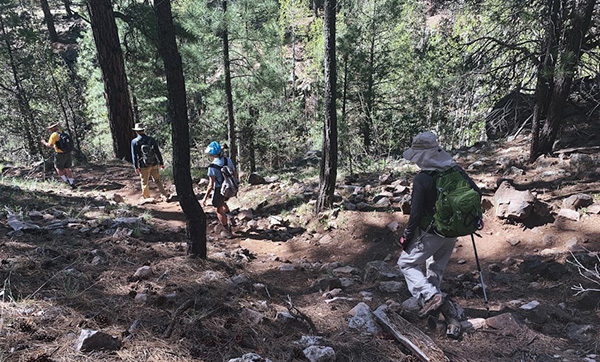
 Approaching Walnut Canyon and the first cave. [photo by Quy] |
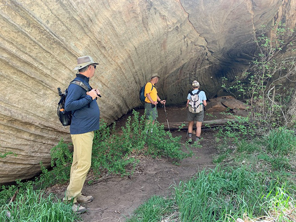 Randall, Dave, and Bo explore the first cave. [photo by Quy] |
 Randall exits the first cave. [photo by Quy] |
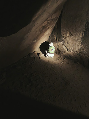 Lin looks at the Quy hole. [photo by Quy] |
|
After another break, we headed back out of Walnut Canyon. This canyon is the same as the well-known Walnut Canyon National Monument located maybe 10 miles farther east. The trail only goes part way, and I do not think you can hike all the way to the National Monument. As we started the climb out of Sandy’s Canyon, the faster hikers took off. I stayed with the last of the hikers to make sure everyone got out. I had suggested that when we got back to the trailhead, I would take the hikers over to see the huge lave flow with views of Mount Elden in the distance and a cliff that is used by rock climbers. However, by the time we got to the trailhead, most of the other hikers had left. |
 Trailblazers leaving Walnut Canyon. [photo by Lin] |
 John and Bo on the Arizona Trail. [photo by Quy] |
 Down in Sandy’s Canyon. [photo by Quy] |
|
Given the virus concerns, no lunch was scheduled after the hike. Hiking Stats: 7.9 miles, 890 feet elevation gain, 4 hours, elevation range 6622' to 7068'. |
 Top of Page
Arizona Trailblazers Hiking Club, Phoenix, Arizona
Comments? Send them to the AZHC .
updated May 19, 2020