Outdoor Links
Hike Arizona
Trip Planning Guide
Trip Report Index
Calendar of Events
Library
|
Brown's Mountain - Cone Mountain McDowell Sonoran Preserve, Scottsdale December 14, 2019 by Chuck Parsons |
|
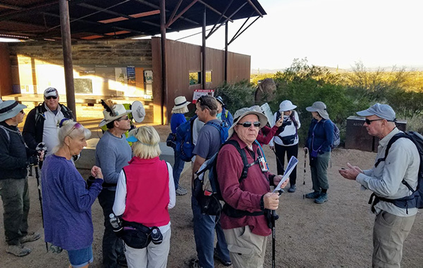
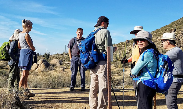
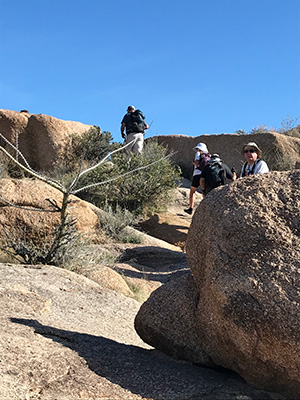
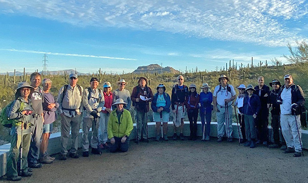 At Brown’s Ranch Trailhead. [photo by Ralph] |
|
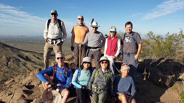
Lin, Kevin, Ramona, Ralph, Carl, Billie, Terry, Neil, Chuck, Laurie, Tom, Li, Deirdre, Michael, Sharon, Jeanne, Susan, Barry, Joe |
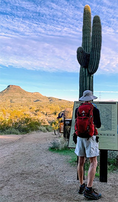 Tom carefully studies the preserve map. [photo by Li] |
On a cool and partly cloudy Saturday morning in mid-December, 19 Arizona Trailblazers
gather at the Brown’s Ranch Trailhead, located at the far north end of Alma School
Parkway in the Northern Region of the McDowell Sonoran Preserve. Our goal for today is to
complete a double-loop hike around both Brown’s Mountain and Cone Mountain,
with an optional spur trail to the summit of Brown’s Mountain.
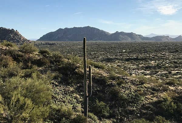
The McDowell Sonoran Preserve offers some of the most scenic and accessible hiking within
the McDowell Mountain Range.
Michael also discusses an optional trail extension for those hikers who wish to get in another couple of miles of hiking today. This hike was last done by the Trailblazers in November, 2013, so I decided that six years was a long enough break between hikes. Some hikes we seem to repeat year after year, while we sometimes skip five to ten years or more between other hikes. Too many trails and not enough time. After a quick round of introductions, a few group pictures, and finally passing out maps and discussing the trail route, we start the hike at 8:20 AM. |
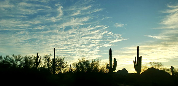 Early morning silhouette shot in the McDowell Sonoran Preserve. [photo by Lin] |
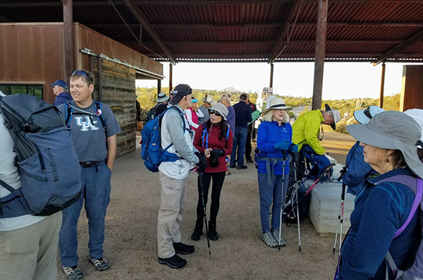 Trailblazers start gathering at the trailhead. [photo by Tom] |
 OK, is everyone finally here now? [photo by Tom] |
 OK hikers, listen up for trail directions. Rule #1: Don’t get lost out there. [photo by Lin] |
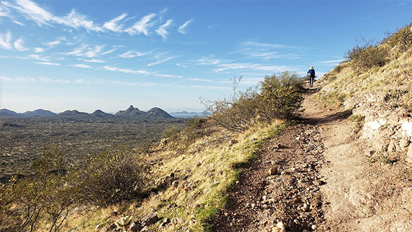
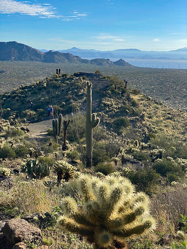
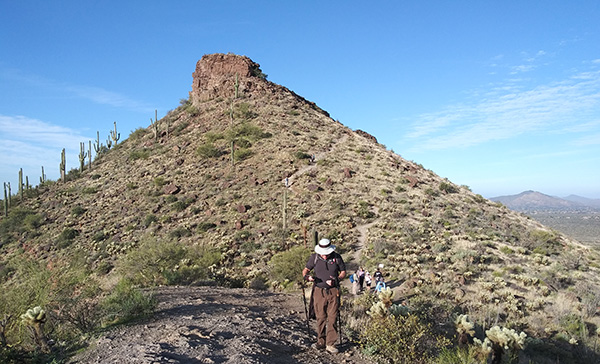
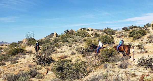
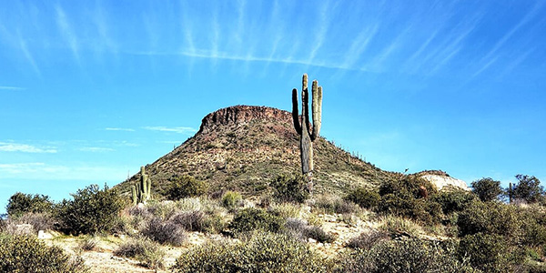 Brown’s Mountain lies waiting in the distance. [photo by Lin] |
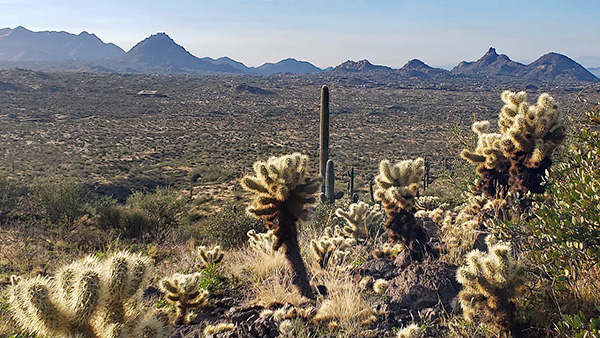
 Desert view from the trail. [photo by Jeanne] |
|
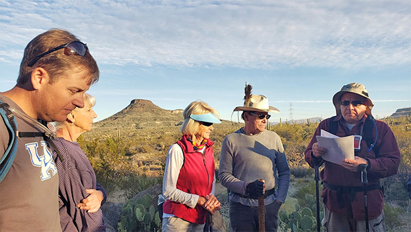
The temperature is a cool and refreshing 55 degrees on a perfect day for hiking the always-fascinating Sonoran Desert of southern Arizona. While carefully going over the trail map before we start hiking, I point out the 7 different trails and 12 trail junctions that we will be traversing today. Ideally we should stop at each of these 12 junctions and wait for everyone to catch up. But with large groups like we have today that doesn’t always work out too well, since there are always very fast hikers and slower than normal hikers in any large group. |
 Waiting at the trail junction. [photo by Tom] |
 The view improves as we get higher on the trail. [photo by Lin] |
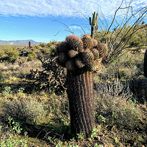 This barrel cactus is getting a bit top heavy. [photo by Li] |
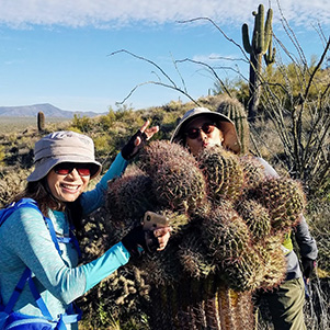 Watch out for those sharp spines, ladies! [photo by Tom] |
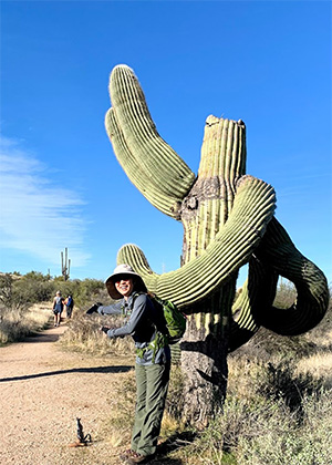
 This giant saguaro seems to have lost its head. [photo by Jeanne] |
 This is the way, Trailblazers! [photo by Li] |
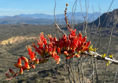 Ocotillo bloom. [photo by Ralph] |
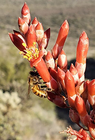 A busy bee. [photo by Lin] |
|
And since I didn’t have quite enough trail maps for everyone, I caution all hikers to stay with someone with a map, since it’s far too easy to make a wrong turn at any one of these trail junctions. Each of the 12 trail junctions is basically a node that connects either two or three different trails. Without a map, which trail do you take? However we do have at least eight two-way radios among us so we can stay in touch with one another to help ensure that no one strays off course. |
 The always upbeat Lin, with Brown’s Mountain in the background. [photo by Li] |
 Deirdre methodically works her way up the trail. [photo by Lin] |
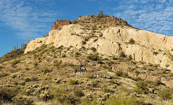 Trailblazers slowly grind their way up the switchbacks to Brown’s Mountain. [photo by Lin] |
 We continue to make our way higher up the trail. [photo by Li] |
 Billie, Terry, and Neil share a moment on the trail. [photo by Li] |
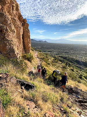
 The desert continues to drop away below us. [photo by Ralph] |
 Deirdre, Kevin, Billie, Neil, and Lin at the trail overlook. [photo by Li] |
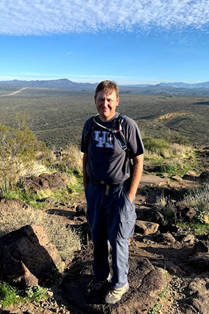
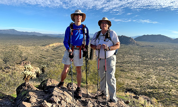 Tom and Michael at the overlook. [photo by Li] |
|
Like so many of Arizona’s trails and trailheads, there’s an interesting and storied history behind the name Brown’s Ranch Trailhead. Brown’s Mountain is actually one of only two ancient volcanic sites in the present-day Scottsdale area. Who would have known or even suspected that? Unfortunately, most of the many hikers and mountain bikers who use this trailhead and the many trails in the area today have no idea or perhaps even no interest in this history. But some of us do, and I would like to share some of that history with anyone who may be interested. It all began with E.O. Brown, an established businessman who migrated to Arizona from Wisconsin in 1901, buying up tracts of land that would continue to eventually grow and expand over two generations into a cattle ranching empire that would later become the DC Ranch, sprawling across 44,000 acres of rugged desert on the western slopes of the McDowell Mountains. The Lower Ranch ran from present-day Shea Blvd. north to Pinnacle Peak Road, while the Upper Ranch stretched for almost six miles north from Pinnacle Peak Road. The western boundary of the DC Ranch was present-day Scottsdale Road, while the eastern boundary was the summit of the McDowell Mountains. Today’s Brown’s Ranch Trailhead is part of the old Upper Ranch. |
 Li and her always gracious smile. [photo by Tom] |
 A penny for your thoughts, Tom. [photo by Li] |
 Kevin savors the moment. [photo by Li] |
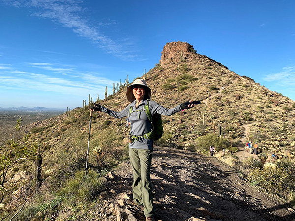
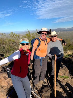
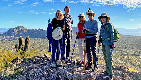
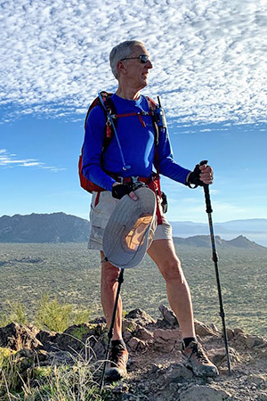
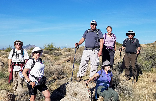
 Nine Trailblazers on Brown’s Mountain. [photo by Lin] |
||||
|
||||
 Enjoying the views from high atop Brown’s Mountain. [photo by Ralph] |
||||
 Lin captures the moment. [photo by Tom] |
||||
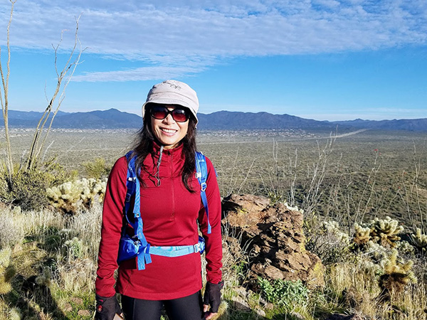
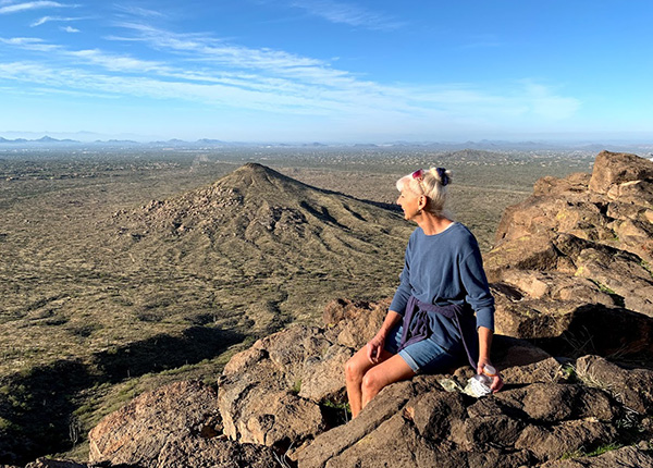 Ramona takes in the expansive views, with Cone Mt. below. [photo by Li] |
||||
|
Along with his ever-expanding ranching empire, E.O. Brown was also a highly successful and respected member of the community. He was responsible for much of the early development of Scottsdale, serving as its postmaster, school trustee, and even irrigation director. He was vice president of Western Oil Company, president of the Scottsdale Cotton Gin Company, and controlling stockholder of Farmer’s State Bank of Scottsdale. Downtown Scottsdale’s Brown Avenue is named in his honor for his many contributions to the young and growing City of Scottsdale. After E.O.’s death in 1937, his eldest son E.E. “Brownie” took over ranching operations and continued to purchase additional tracts of land in the following years. |
||||
 Time to head back down the trail. [photo by Tom] |
||||
|
But cattle ranching throughout this area gradually begin tapering off during the 1950s and 1960s, as the economy boomed and tens of thousands of people begin to pour into Arizona. Threatened with ever-increasing urban sprawl and development (sound familiar today?), an environmentally critical voter-approved initiative in the year 2000 authorized the City of Scottsdale to buy much of the old DC Ranch’s Upper Ranch land and add it to the McDowell Sonoran Preserve. But the preserve actually got its initial start in 1994 with just five square miles of desert. |
||||
 Barry is heading down the Brown’s Mountain Trail. [photo by Joe] |
 Sharon and Barry, with Cone Mountain in the background. [photo by Jeanne] |
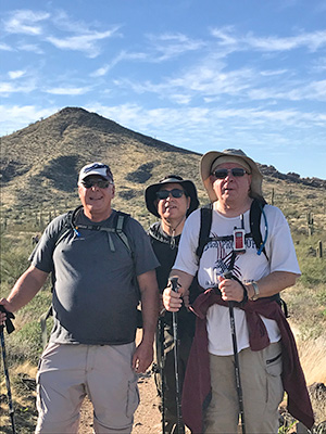 Joe, Barry, and Chuck pause for a picture. [photo by Jeanne] |
 Hiking along the Cone Mountain Trail. [photo by Jeanne] |
 Working our way through a boulder field. [photo by Jeanne] |
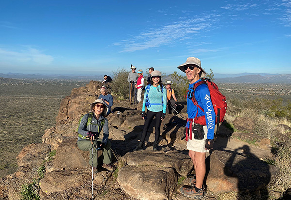
 Chuck, Sharon, Joe, Jeanne, Susan, and Barry stop for a picture. [photo by Tom] |
|
The year 2019 marks the 25th anniversary of the McDowell Sonoran Preserve. This preserve, along with the Phoenix Sonoran Preserve, the Phoenix Mountains Preserve, and a sprawling network of 12 Maricopa County Regional Parks, Preserves, and Conservation Areas, stretching from the White Tanks to the McDowell Mountains, provides protection and preservation for nearly a hundred thousand acres of pristine and unspoiled Sonoran Desert that would otherwise be consumed by development, for this and hopefully many future generations to come. But just like every single National Park or National Monument across America, none of these preserves or regional parks were created without the on-going hard work, commitment, and dedication of thousands of people, often over a period of many years or even decades. Preserving and protecting critical lands is never an easy task. Instead, it’s a never-ending struggle. Today the McDowell Sonoran Preserve is the nation’s largest urban land preserve, encompassing a total of 57 square miles, or 36,500 acres, that borders the Tonto National Forest. Founded in 1991, the McDowell Sonoran Conservancy is tasked with protecting and preserving this vast preserve through a combination of environmental education, training hundreds of volunteers, or Stewards, to work in and help protect the preserve, and becoming a key part of a growing movement to change the laws that facilitate the conservation of Arizona’s State Trust Lands. |
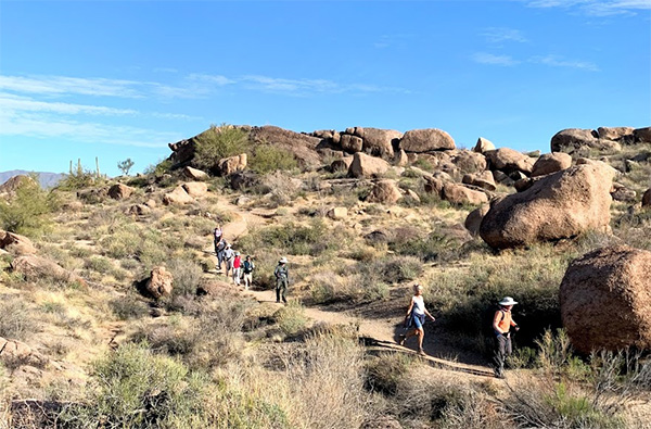 Arizona Trailblazers are on the move. [photo by Li] |
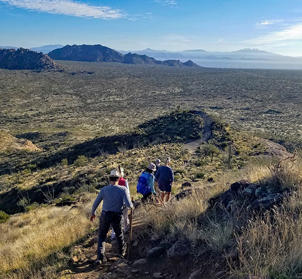
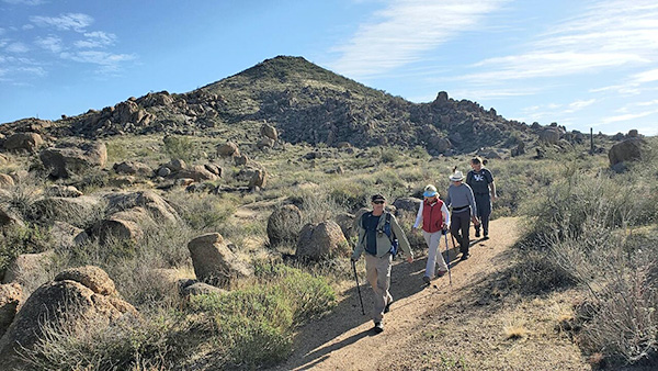 Hoofing it down another long stretch of trail. [photo by Lin] |
 One last group picture along the trail. [photo by Li] |
 Riders of the Purple Sage (anyone remember the book?) [photo by Lin] |
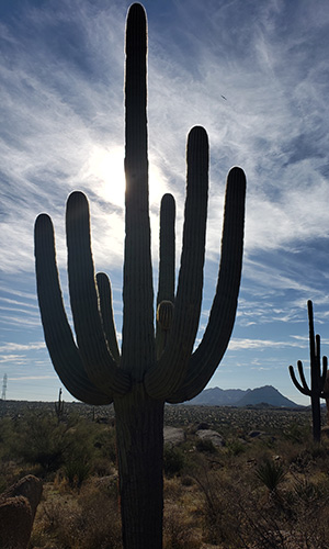 A perfect giant saguaro. [photo by Lin] |
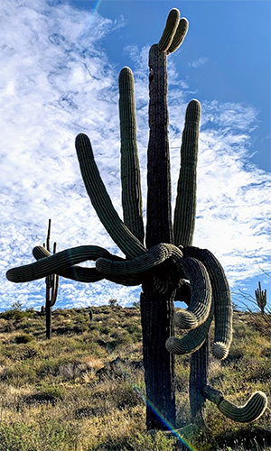 A not-so-perfect saguaro. [photo by Li] |
|
And now, back to the trail. When we reach the short spur trail to the top of Brown’s Mountain, half the group starts up the trail, while the rest of the group continues down the Brown’s Mountain Trail. We gradually work our way around Brown’s Mountain, before finally linking up with the Cone Mountain Trail that encircles Cone Mountain. At the junction of the Hackamore Trail and the Latigo Trail, Michael’s contingent of long-haul hikers splits off from the rest of the group and continues on the Latigo Trail back to Brown’s Ranch Trailhead. The rest of us take a short rest and snack break somewhere along the Cone Mountain Trail, and shortly afterward I get a call from Lin over my radio that her group is doing the same. We both continue hiking after the break, and eventually the two groups meet up once again for one last group picture. They take one path back to the trailhead, while we take a different path. Finally, both groups converge on the Brown’s Ranch Trailhead around 11:45 AM. After putting our gear away and cleaning up, most of the group decides to stop for a late lunch at Lush Burger in Scottsdale. |
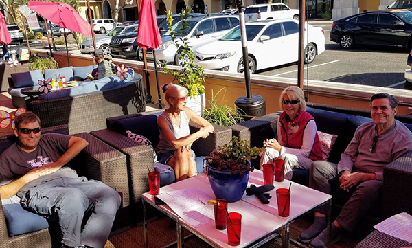 Lunch at Lush Burger: Kevin, Ramona, Billie, Neil. [photo by Tom] |
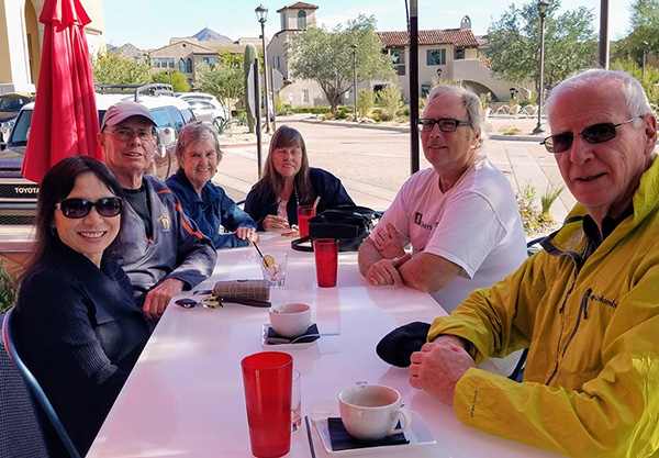 Lunch at Lush Burger: Li, Ralph, Jeanne, Sharon, Michael, Terry. [photo by Tom] |
 Lunch at Lush Burger: Chuck, Joe. [photo by Tom] |
|
The sun is still shining and the temperature is a very pleasant 65 degrees on yet another perfect day for a desert hike in Arizona. Does it really get any better than this? |
 Top of Page
Arizona Trailblazers Hiking Club, Phoenix, Arizona
Comments? Send them to the AZHC .
updated December 23, 2019