Outdoor Links
Hike Arizona
Trip Planning Guide
Trip Report Index
Calendar of Events
Library
|
Sandy’s Canyon Day Hike Flagstaff August 25, 2018 by Monika Hahues |
|
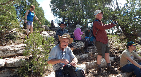
 Trailblazers on top of Fisher Point. |
||||||
|
|
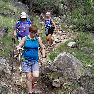
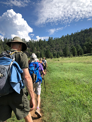
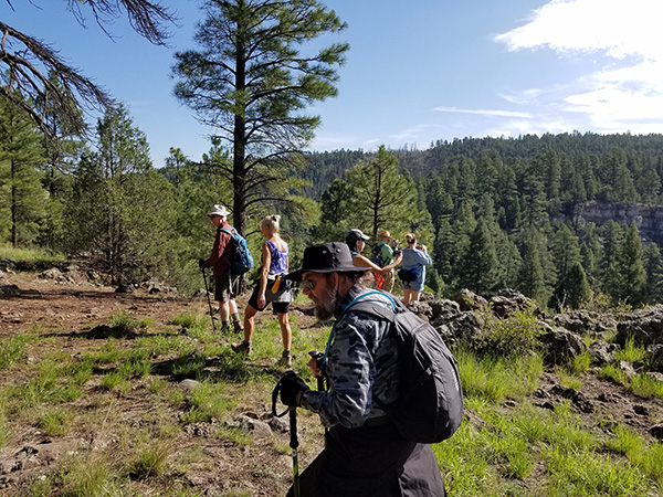
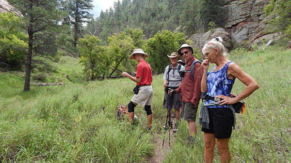
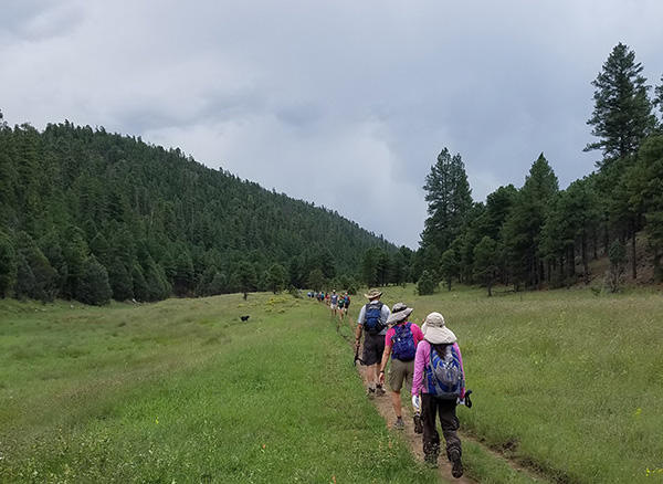
Since it’s getting harder every year to find trails that the Arizona Trailblazers haven’t hiked, Sandy’s Canyon seemed to be a good one to repeat. Thirteen hikers left the Valley at 6:30 AM and met up with three others at the trailhead on Lake Mary Road. Thanks to Ted’s diligence when posting the events, we knew about the new trailhead that was built and could start the hike without further delay at 9:00 AM. Mary, who lives in Flagstaff, predicted rain around 12:30 PM. So instead of checking out the rock-climbing area as planned, we hiked right down into the canyon and toward Fisher Point. |
 Carol, Michelle, Ramona |
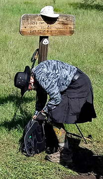
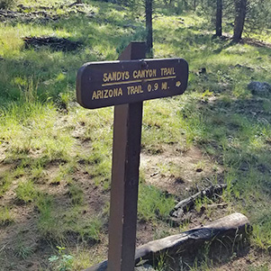 Here’s the trail sign. |
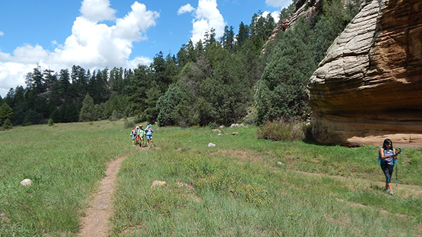
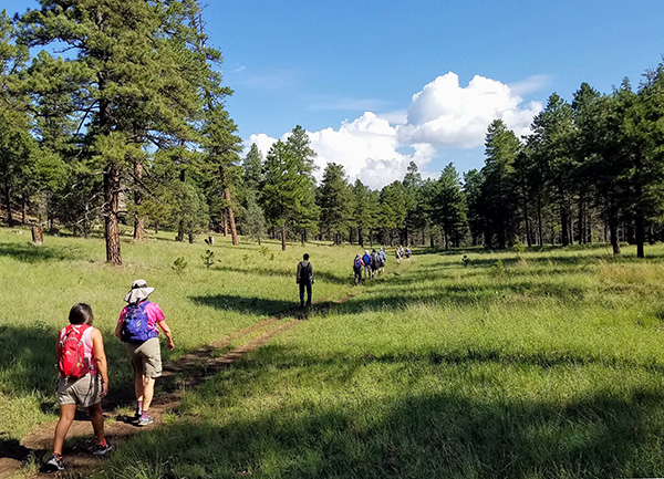 Sandy’s Canyon is mostly flat after you’ve climbed down. |
|
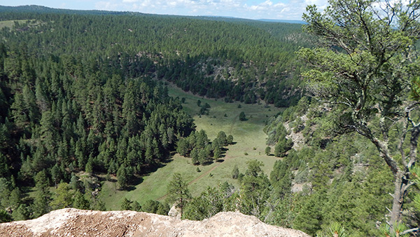
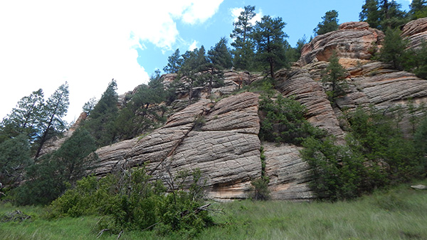
The temperature was great for hiking and we enjoyed the easy walk in the Canyon. From the base of Fisher Point we climbed about 350 feet to reach the top. From here the views into Walnut Canyon on one side and the trail we just hiked on the other side, were spectacular. |
 So here we are. What next? |
 Kim, Chuck, Terry |
 Yes, this is the way. |
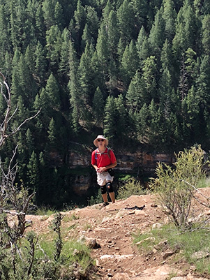 Tom, standing before Walnut Canyon. |
 This is the way to Fisher Point. |
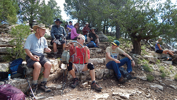
 Let’s have a snack while we’re here. |
 There’s the Arizona Trail. |
 What a fine picture spot! |
 The first time I was here ... |
 All right, you all, we’re heading back. |
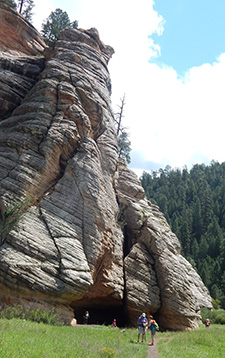 Fisher Point |
After some snacks, some rest, and taking lots of pictures, it was time to go back.
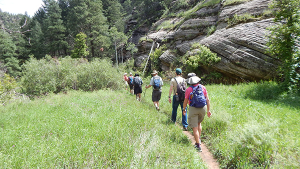
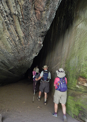
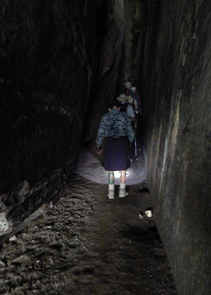
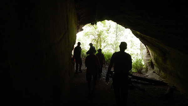
Since some of the hikers had not been on this trail before, we checked out the big cave at the base of Fisher Point first and ventured into the side canyon to look at two more caves. The riparian area was very lush and a few of us wanted to find out how far the trail would go. After hiking another mile, the clouds coming in became darker and we decided to turn around, catch up with the rest of the group and make our way back to the trailhead. Once back in Sandy’s Canyon we heard thunder and saw some lightning at the far end of the Canyon in the direction of the trailhead. |
 The routes divide. |
 Let’s go upstream a ways. |
 Time to turn around. |
 Intrepid cave explorers. |
 How far into the cave can you go? |
 It’s creepy. Let’s get out of here. |
 Looking back at Fisher Point. |
 There’s a storm coming. |
|
Since nobody wanted to get caught in a thunderstorm, we kicked up the pace and made it back to the cars just before a heavy downpour. With Mary leading us down some back roads, we made it to the Beaver Street Brewery in no time. All the while we were enjoying the food and beverages the heavy rain continued outside. Our hopes to take some of the rain back to the Valley were in vain. Just outside Flagstaff the rain stopped. |
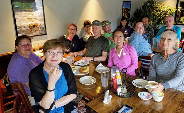 Trailblazers chow down at the Beaver Street Brewery. |
|
Thanks everyone for joining me on this hike! |
|
|
||||||||||||||||||||||||||||||||||||||||||||||||
 Top of Page
Arizona Trailblazers Hiking Club, Phoenix, Arizona
Comments? Send them to the AZHC .
updated September 4, 2018