Outdoor Links
Hike Arizona
Trip Planning Guide
Trip Report Index
Calendar of Events
Library
|
Zimmerman Point Loop Day Hike Sierra Ancha October 21, 2017 by Bill Zimmermann |
|
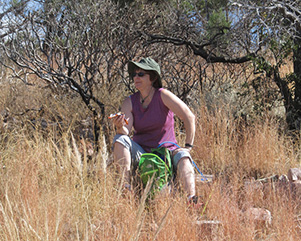
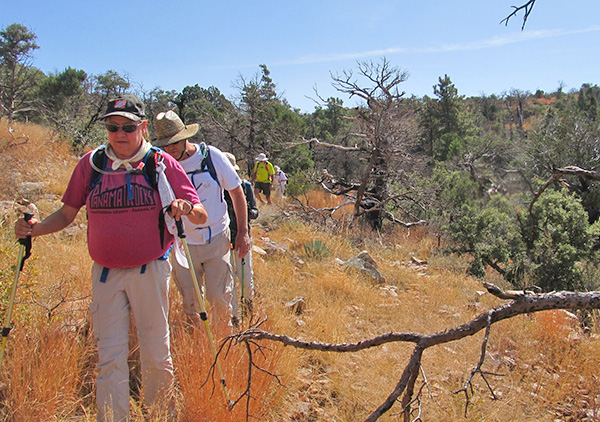
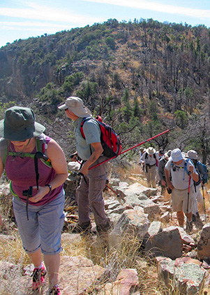
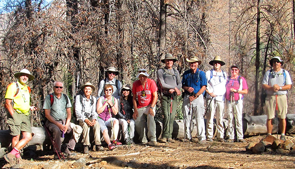 Trailblazers about to start on a grand adventure! |
| Allen, Roy, Yanis, Carol, Darrell, Li, Bill, Chris, Dave F., Mark, Michelle, Dave M. |
|
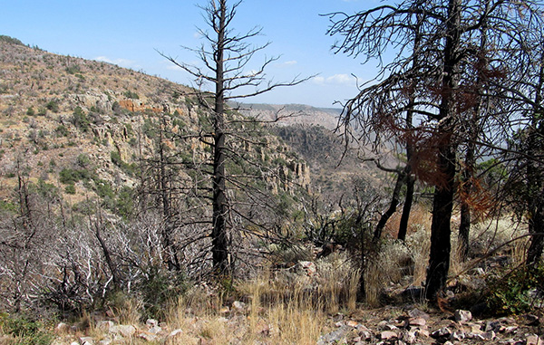
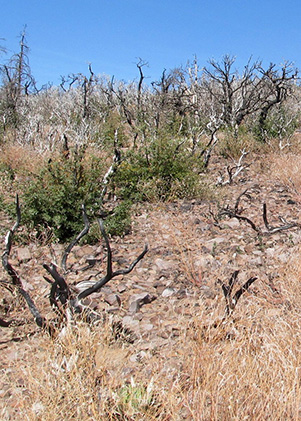
Twelve hikers left the valley in three cars at 6:15. When viewing from a distance, the asbestos tailings are a prominent landmark used to locate the point. It was dust, fog, pollutants or a temperature inversion that hindered our view. We drove SR 288 to milepost 277, then shuttled two cars to the Parker Trailhead #160. With boots on at 8:20 AM we headed up FR 489. After climbing 400 feet, we were at the 5600 feet. We could hear water trickling in pocket creek along side the road. Soon we left the black walnut trees. The road had deep ruts that were rock-filled. At 5600 feet the trees were just black, needle-free fire-black. Signs of the fire were everywhere. |
 Aftermath of the forest fire. [photo by Bill] |
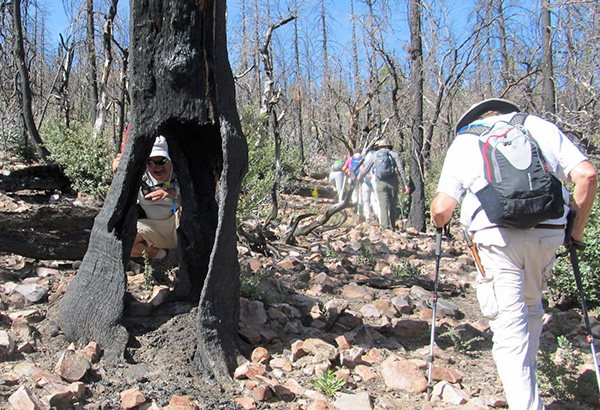
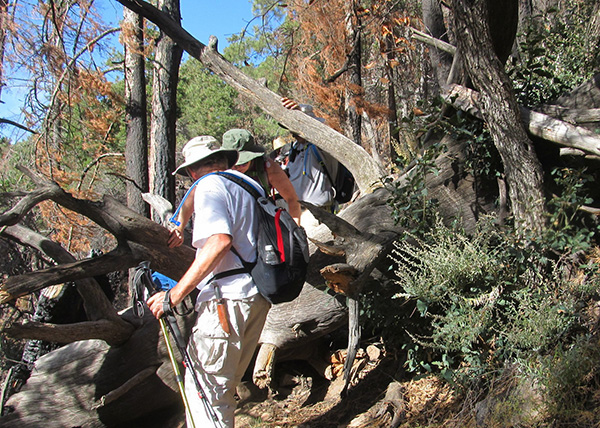
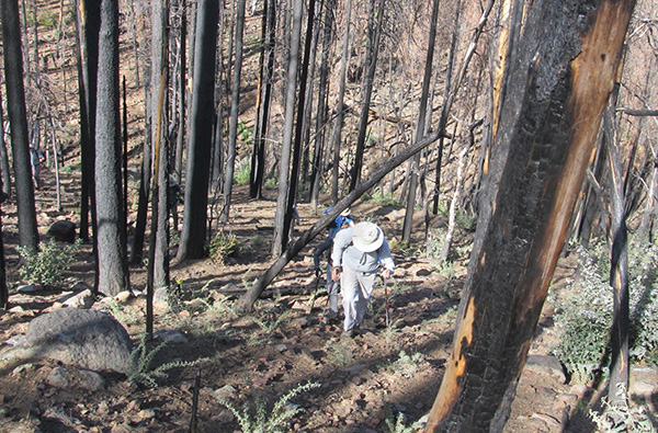 Climbing through the burned trees. [photo by Bill] |
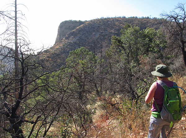
 Finally we’re getting above the burned area. [photo by Dave] |
|
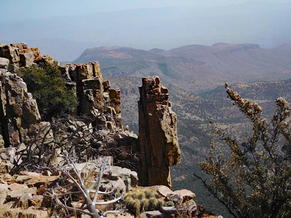
The weather was shirtsleeve comfortable. However, the bright yet hazy sky filtering through among the burnt dead trees made it pre-Halloween spooky, After 1600 feet of climbing we reached the spot where we decided to leave the road and begin our bushwhack at “LT”. Our boots did not sink in a soft cushion of leaves and pine needles that we experience in 2015. The ground was bare. We taxed our quadriceps muscles on the steep ascent. At “64” we reached a spot the fire missed. A green canopy of pine needles was above us. The final assault to the point took us above the pines. Scampering over rocks and through bushes was the task at hand. At the point we took our lunch break. Roosevelt Lake was barely visible through the haze. |
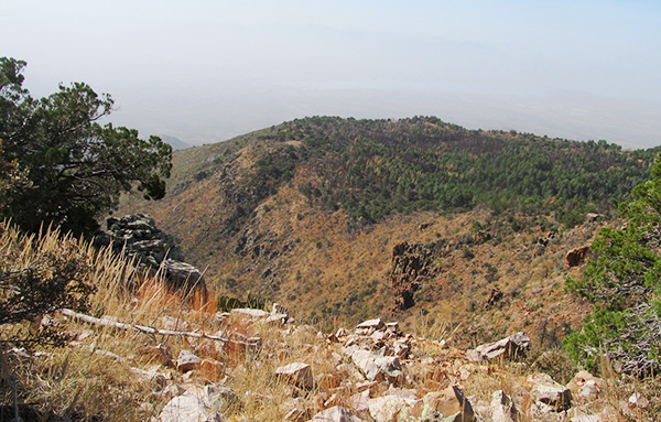 Quite a view from up here. [photo by Bill] |
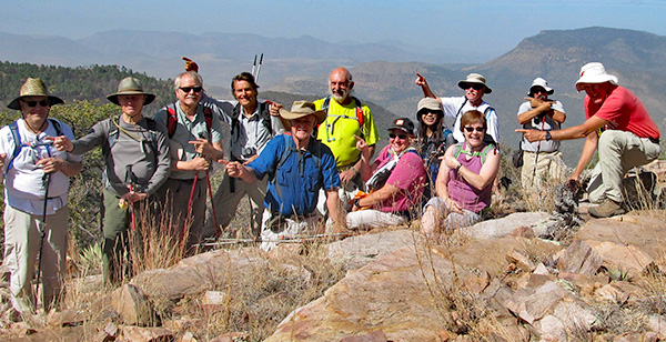 We made it to Zimmerman Point. |
|
|
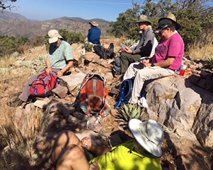
| Let’s take a break. [photos by Bill and Li] | |

|
|
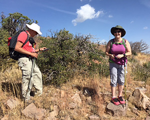
| Enjoying the scenery. [photos by Li] | |
 Survey marker. [photo by Bill] |
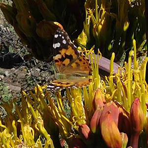 Butterfly. [photo by Carol] |
|
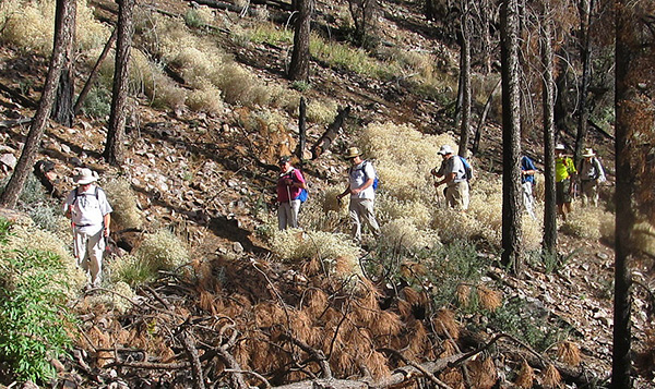
As we started our trek along the ridgeline, Dave M spotted three different monuments. The fire had made dodging Manzanita much easier than in 2015. Haze obstructed our view of the Cherry Creek Valley to the east. There was a scattering pines and junipers as we hiked the ridge. At “SA” we took a break. One of our hikers went to check out the facilities. After an extended length of time, Bill asked if they needed help. No volunteers. |
 Moving right along. [photo by Bill] |
 Colorful vegetation cheers us. [photo by Bill] |
 Hmmm—is this a trail? [photo by Bill] |
 Burned trees, even up here. [photo by Bill] |
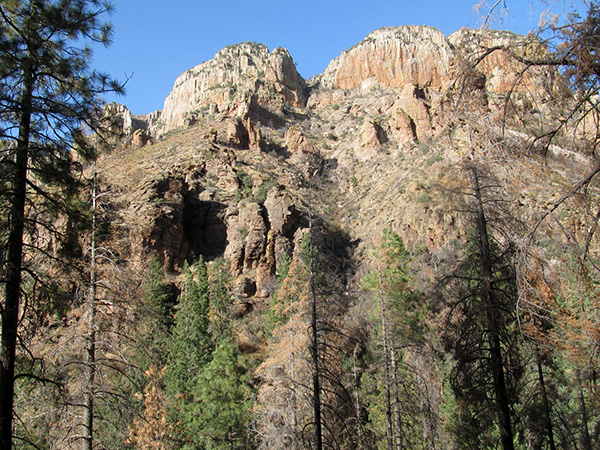
 Hazy, but a fine view. [photo by Roy] |
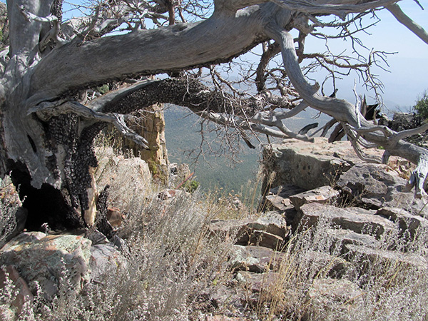 Gnarled alligator juniper has seen a lot. [photo by Bill] |
 In the shadow of a mighty rock. [photo by Carol] |
|
We tried to follow pre-entered GPS waypoints. So we zigged and zagged across an abandoned barbwire fence line as we headed north. From “TNK” (the tank was dry) signs of the fire lessened. It was spotty and limited to the ground not reaching treetops. From “RB7” to the trail at “PC TOP” there was no sign of fire. At 3:00, after a short break, we headed down the Parker Canyon Trail. |
 Onward and upward. [photo by Bill] |
 Devastation. [photo by Bill] |
 Peek-a-boo. [photo by Bill] |
 Yes, it’s time to start down. [photo by Bill] |
 Watch your step on this one. [photo by Bill] |
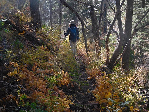
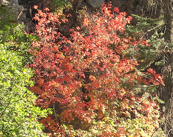 Colorful autumn leaves. [photo by Bill] |
|
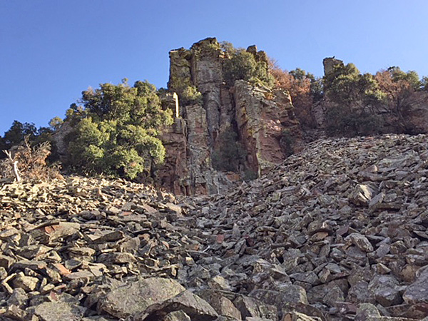
The trail was slightly overgrown in spots, but free of deadfall except for a big momma that required going around or over. We were treated some fall color as we passed a few maples. One was especially bright red. No signs of fire along with the views of the cliffs to north made for a pleasant ending to the hike. Oh yes, downhill helped. |
 Rock slide shale. [photo by Li] |
 Trailblazers on the down grade. [photo by Bill] |
 Autumn leaves brighten Li’s path. [photo by Carol] |
 Mine diggings on the mountain. [photo by Bill] |
|
We stopped for grub and socializing at Mexican restaurant of the main drive in Miami before returning to the valley. 9.7 miles 2780 feet. Thanks to the other drivers, Dave M. and Mark J. |
 Top of Page
Arizona Trailblazers Hiking Club, Phoenix, Arizona
Comments? Send them to the AZHC .
updated October 23, 2017