Outdoor Links
Hike Arizona
Trip Planning Guide
Trip Report Index
Calendar of Events
Library
|
Arizona Mineral Belt Day Hike Flagstaff June 10, 2017 by Jim Buyens |
|
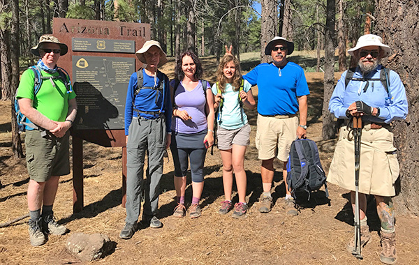 Terry, Ken, Biljana, Emma, Dave, and Jim ready to start the hike. [photo by Ralph] |
| Ralph was hiding behind either the Arizona Trail sign or the camera, I can’t remember which. |
|
Off-trail hikes appeal to some but not to me. So when the only other club hike this weekend was off-trail, I scheduled this one so I could keep up my summer weekend Flagstaff ritual. At one time ten hikers were signed up, but three backed out Saturday morning and then there were seven. And I must say, the hike was easier to manage than one with twenty-five or thirty hikers. It had kind of a cozy feel to it. I picked the trail because it was my target mileage (ten) and it didn’t involve a lot of climbing. It did rise 1,000 feet, though, so it wasn’t flat boring either. I’d hiked parts of it before but not all, but the entire route was part of Arizona Trail Passage 31 and I was pretty sure it would be well-marked. It was. |
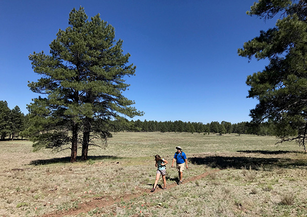 Emma and Dave on their way through a meadow. [photo by Ralph] |
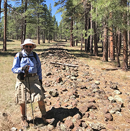 Jim standing near a historic railroad bed. The trail was nowhere near as rocky. |
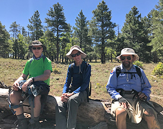 Terry, Ken, and Jim take a breather. [photos by Ralph] |
|
One-way hikes usually involve at lot of waiting at each trailhead to jockey cars and drivers. But with seven of the original ten hikers meeting us at the trailhead, and only three driving up from the valley, we had enough car seating for a masterful plan that required no waiting at either end. That sort of fell apart when three people from flagstaff dropped out, but there was still no waiting at the start of the hike and only a half hours and the end. Temperatures ran about 66-75°, there was a nice breeze, skies were sunny, the trail was mostly shaded, and the trail itself was in great shape. What a great hike! |
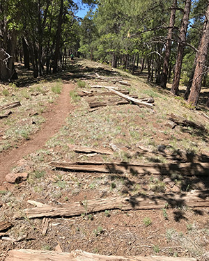 Here the trail parallels more of the old rail line. [photos by Ralph] |
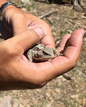 Dave shows off a horned toad he caught. Emma wouldn’t touch it. And no, it wasn’t Dave’s lunch. |
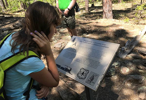 Emma works on her education. The railroad was apparently built for logging. [photo by Ralph] |
 Biljana, Terry, Jim, and Ken gaining on the end of the hike. [photo by Ralph] |
|
Afterward three of us stopped at the Mormon Lake Lodge, which is always rustic and usually OK on food. That weekend they had some kind of motorcycle festival going on, though, and the only option for food was a buffet. The buffet wasn’t the greatest – dry hamburger patties, charred hot dogs, chili, pulled pork, and cole slaw – but we were hungry and that sufficed. I sure wouldn’t go back just for the buffet, though. All in all this was another great hike. Everyone finished happy and healthy and I wouldn’t mind doing it again some time. |
|

|
||||||||||||||||||||||||||||||||||||||||||||||||||||||
 Top of Page
Arizona Trailblazers Hiking Club, Phoenix, Arizona
Comments? Send them to the AZHC .
updated June 12, 2017