Outdoor Links
Hike Arizona
Trip Planning Guide
Trip Report Index
Calendar of Events
Library
|
Horton Creek Loop Day Hike Tonto National Forest / Mogollon Rim May 14, 2016 by Tamar Gottfried |
|
|
|
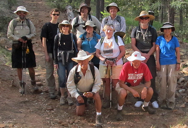
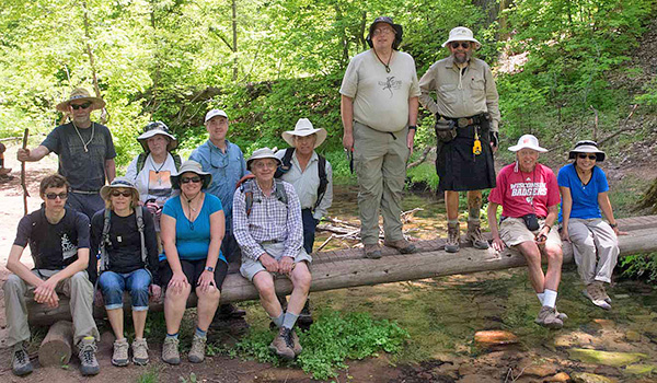
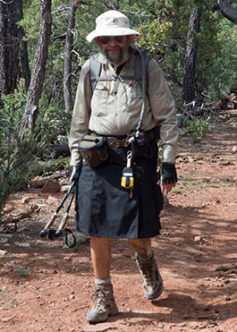
3rd row: Jim, Jim, Michael, Andy 2nd row: Julie, Tamar, Laurie, Gary, Quy 1st row: Rudy, Bill |
|
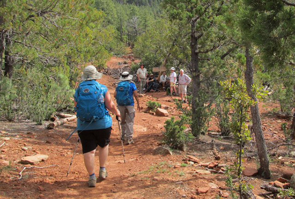
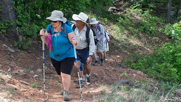
Eleven Trailblazers set out on an unmarked Derrick Trail spur behind the Horton Creek campground at 8 AM on a sunny and cool Saturday morning. After a brisk climb to intersect with the actual Derrick trail, we were joined by a breathless Alex, who started 20 minutes behind us due to being caught behind an accident outside of Fountain Hills. His quick pace allowed him to easily intercept us. We reached the intersection with the Highline Trail, observing nice views of the rim along the way. At 6400' elevation we thought our climbing might be over, but the rolling ups and downs of the Highline took us to our maximum elevation of 6800 feet. We passed by the sign for the Promontory Trail, but no one took the bait to brave that steep climb up. |
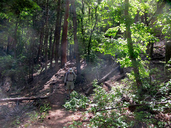
 There’s plenty of shade here on the Mogollon Rim. [photo by Bill] |
 Hmmm, what is this? [photo by Bill] |
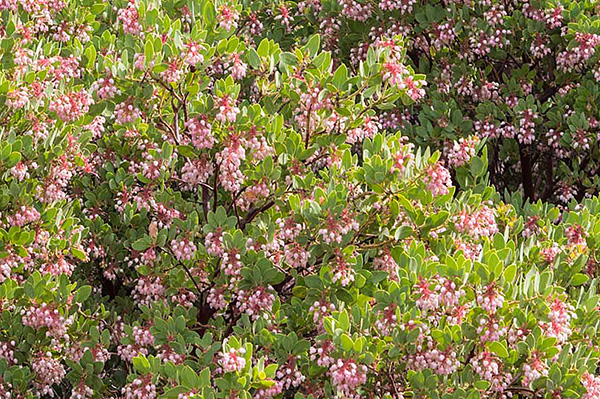 Blossoms brighten our passage. [photo by Quy] |
 There’s that trail sign, at last. [photo by Bill] |
 Rudy has an idea. [photo by Bill] |
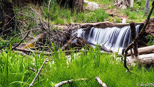
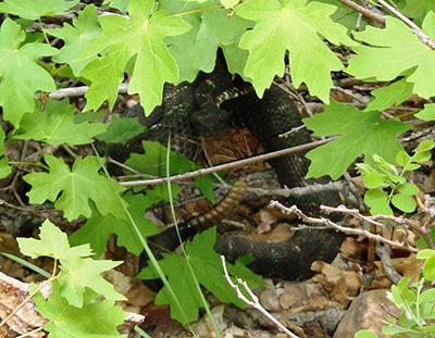 Arizona Black A medium sized Arizona Black was hanging out under a bush and took great effort to inform us of its presence. I quickly moved on after getting a good look at the back end of the snake with the dancing rattle, but other Trailblazers took a longer look at our reptile friend. After traversing a nice meadow and one last half mile climb, we descended into Horton Creek and were welcomed by briskly running water. We crossed the log bridge and joined a few young families and a lot of Scouts in a creekside picnic. Several of us went up to see the source of the water and some nice waterfalls. |
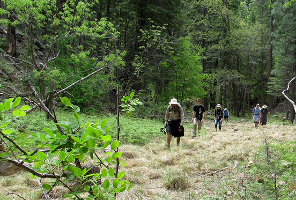
 The trail takes us deeper into the Rim country. [photo by Bill] |
 Tamar knows the way. [photo by Quy] |
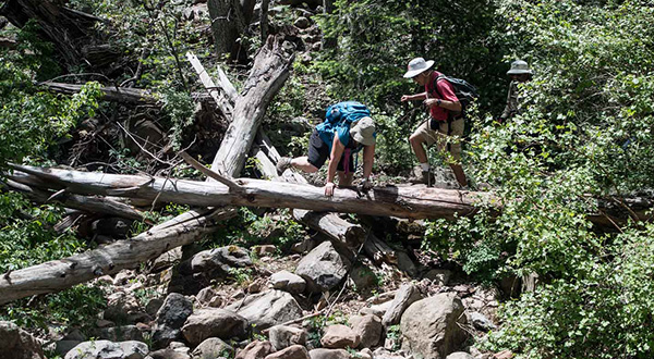 That fallen log is an obstacle to get around. [photo by Quy] |
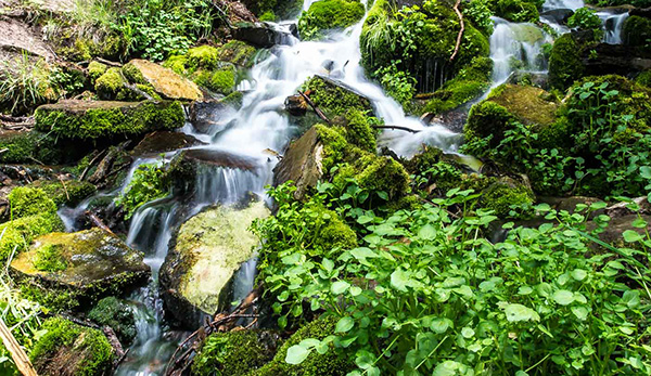 Horton Spring. [photo by Quy] |
 This log makes a good bench. [photo by Quy] |
| Jim, Gary, Julie, Laurie, Tamar, Alex, Andy, Rudy, Michael, Jim, Bill, Quy |
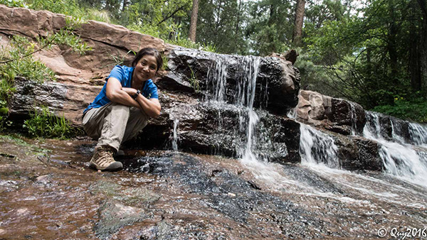 Quy finds a favorite waterfall. [photo by Quy] |
 The water is flowing freely in Horton Creek. [photo by Quy] |
|
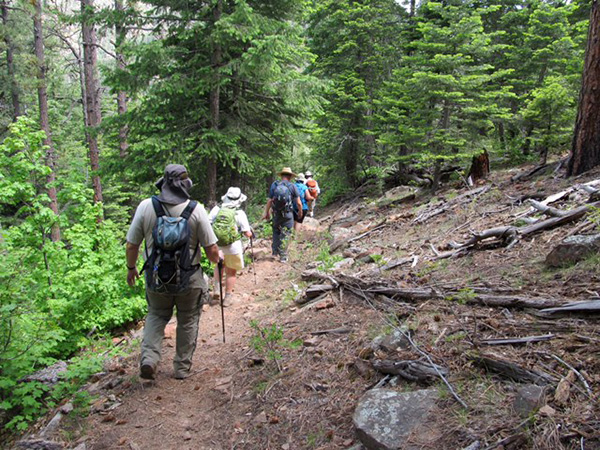
Rested from our climb, we paralleled the creek downwards on the Horton Trail for 3.5 miles back to the parking lot. At the very end, the clouds moved in and a little rain came down to cool us off. Even though it was 80 degrees as we finished the hike, most of the trail down was shaded and felt pleasantly cooler. |
 Let’s enjoy the repast. We’ve earned it. [photo by Quy] |
|
We ended the day with late lunch specials at the Thai restaurant in Payson. They have recently relocated from their stand-alone building to a spot in the Basha’s strip mall, but we were pleased with the new location. Rested and hydrated after 9+ miles of hiking and 1800 feet of elevation gain, we said our good byes and headed back to the 100° heat of the Valley. → More pictures, by Quy. |
|
Supplemental Report by Jim Buyens |
|||||||||||||||||||||||||||||||||||||||||||||||||
|
Saturday’s Horton Loop hike was certainly a great event. I had a great time and I hope so did you. And special thanks to you, Tamar, for stepping up and being the organizer and leader. As you may recall I wasn’t at full strength the first part of the hike, but nevertheless here are the statistics I recorded. I’m pretty sure it was warmer than 68° as we were coming down from the spring, but as we neared the trailhead some dark clouds moved in and the temperature dropped. As always the companionship was the best part of the hike. I hope we meet again soon. Jim |
|||||||||||||||||||||||||||||||||||||||||||||||||
|
|
||||||||||||||||||||||||||||||||||||||||||||||||
 Top of Page
Arizona Trailblazers Hiking Club, Phoenix, Arizona
Comments? Send them to the AZHC .
updated May 17, 2016