Outdoor Links
Hike Arizona
Trip Planning Guide
Trip Report Index
Calendar of Events
Library
|
Horse Lake to Dairy Springs Flagstaff July 23, 2016 by Dave French |
|
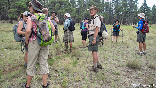
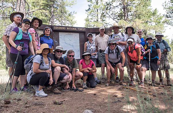 Seventeen sagacious Trailblazers. [photo by Quy] |
||||
|
||||
|
OK, we can mark off about 27 miles of the Arizona National Scenic Trail this summer. This hike completed the 3 planned hikes to cover 3/4 of Passage 30. We hiked segment a on June 18 starting at Gooseberry Springs trailhead, then segment b on July 16 from Mormon Lake Village to Dairy Springs and this current hike from north to south starting at Horse Lake trailhead and also ending at Dairy Springs. Seventeen hikers showed up promptly before 9 AM at the designated trailhead. We took four cars plus one (to return the drivers in) to the hike end near Dairy Springs. By the time we finished the shuttle, got the group picture taken, and got underway it was 10 AM. The sky was mostly clear and the temperature a comfortable 75 degrees. We took the short connector trail from the trailhead to the Arizona Trail about 0.2 miles away and turned left to head south. After about a half mile we crossed Lake Mary Road (County Road or Forest Road 3) and continued the hike. |
||||
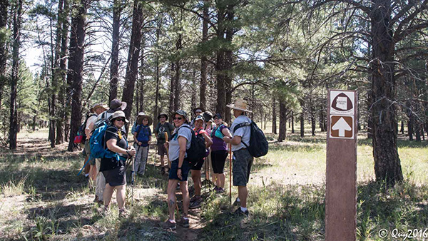
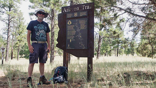 Gary checks out the AZT sign. [photo by Quy] |
||||
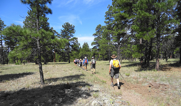 Away we go. [photo by Dave] |
||||
 The sign says AZT Horse Lake TH 0.8 miles. [photo by Quy] |
||||
|
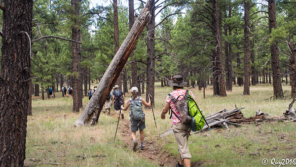
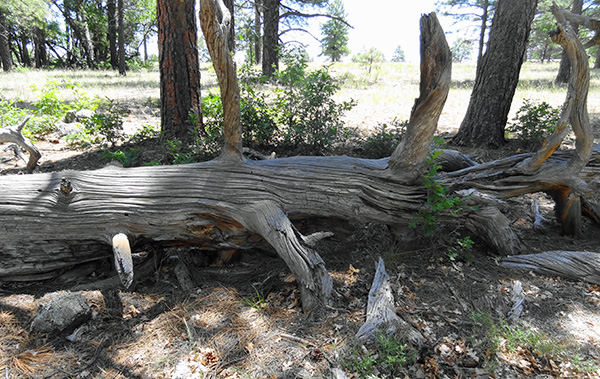
For most of the hike there was good forest cover providing shade about half the time. The trail is very level until about 2 miles before the end where there is a gradual up-grade. The forest toward the end was also denser. A couple of miles into the hike, we paralleled an old railroad bed. The bed varied from an earthen berm with mature trees growing out of it, to scattered heavily weathered railroad ties, to an elaborate rock embankment on either side of a wash where there must have been a bridge some time ago. Go to the trip report titled Mineral Belt for more historical information about the railroad which was primarily used to haul logs. |
||||
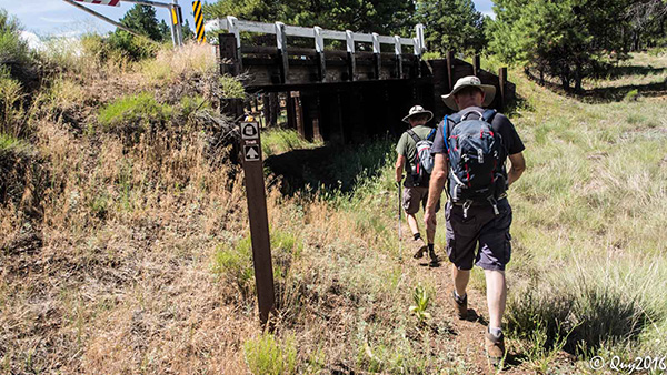 Under the bridge. [photo by Quy] |
||||
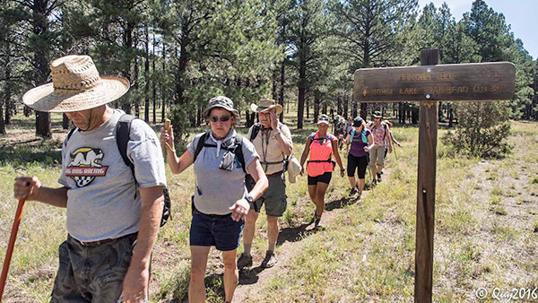
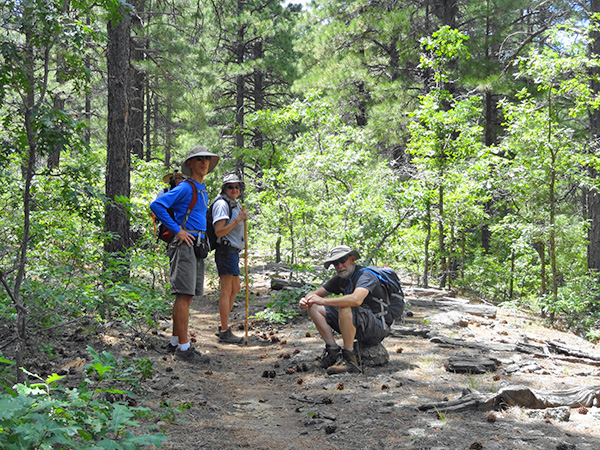
 Let’s pause to make sure everyone is with us. [photo by Quy] |
||||
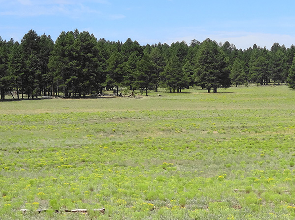 Wildflowers starting to bloom in the meadow. [photo by Dave] |
||||
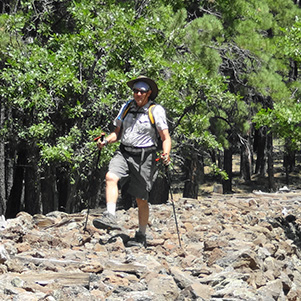
 Look out! [photo by Quy] |
||||
 Another pause to let everyone catch up. [photo by Quy] |
||||
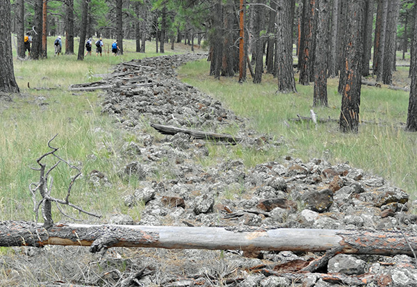 The old railroad bed. [photo by Dave] |
||||
|
By 11 O’clock the clouds had started building up, so we kept our eye on the sky. By noon the clouds seemed to dissipate and then by 1 O’clock they built up again. By 2 O’clock there was full cloud cover and we felt a few raindrops but only one distant thunder rumble. Fortunately we finished the hike before 2:30. We got all 17 hikers into the four waiting vehicles and drove back to Horse Lake trailhead where three vehicles were left. |
||||
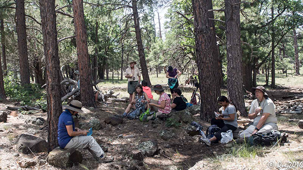 Lunch time at 4 mile point. [photo by Quy] |
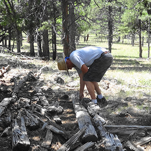 Mark J. tries to take home a spike. [photo by Dave] |
 Mark P. pretends to be a choo choo. [photo by Dave] |
 Great log for sitting, except full of black ants. [photo by Dave] |
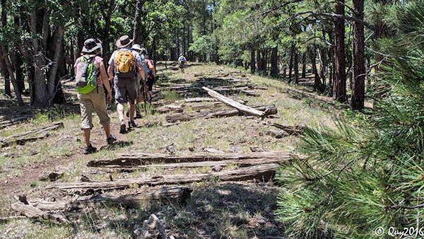 Following the old railroad. [photo by Quy] |
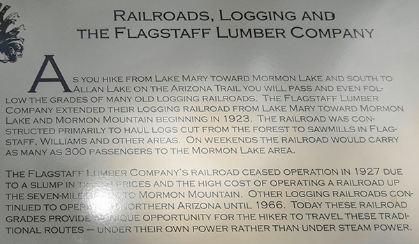 Info about the old railroad. [photo by Dave] |
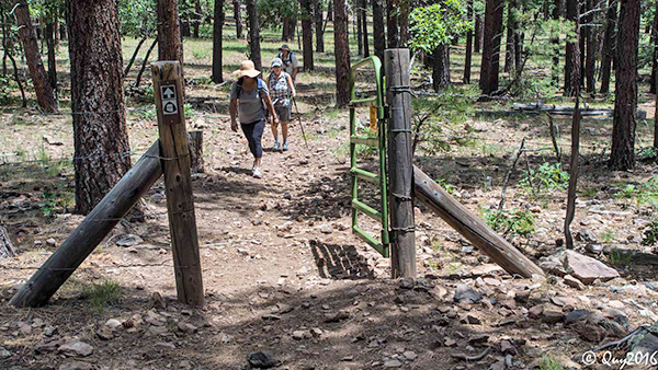 We passed through a lot of gates and closed them all. [photo by Quy] |
 Pause in a beautiful forest. [photo by Dave] |
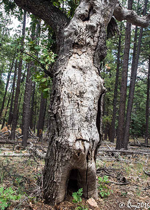 Gnarly old oak. [photo by Quy] |
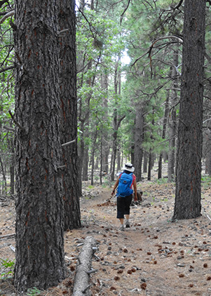 Quy treks through the forest. [photo by Dave] |
|
As we drove on Lake Mary Road toward Flagstaff, we got into a heavy shower for a short distance and then it dried out as we proceeded to I-17 and south to Munds Park and the Pinewood Country Club for eats and drinks. Three of the hikers were camping near the Horse Lake trailhead so they did not go with us. One of the hikers reported a heavy rain shower once she got back to her camp. |
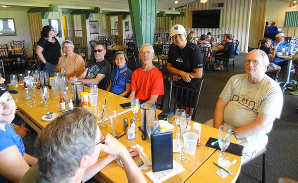 Eats and drinks at Pinewood Country Club. [photo by Dave] |
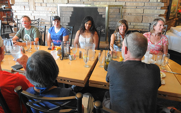 Eats and drinks at Pinewood Country Club. [photo by Dave] |
|
All in all it was a pretty hike, easy because it was flat, but moderately long, about 9.7 miles. We completed the hike in just under 4.5 hours averaging just over 2 miles per hour. The temperature ranged from 75 to 85 degrees. I was a nice contrast to Phoenix, where the forecast was 114 degrees. Wildflower photos by Quy: |

|

|

|

|

|

|

|

|

|
|
Thanks to Michael for getting people signed in and arranging the carpools at Bell and I-17. Thanks to Quy for all her wonderful photos. |
|
Supplemental Report by Jim Buyens |
|||||||||||||||||||||||||||||||||||||||||||||||||||||||
|
Thanks as always for joining Arizona Trailblazers on this hike, and special thanks to you, Dave, for leading it. I hope everyone had a great time and that we’ll see you all again! See you next time, and happy trails. Jim |
|||||||||||||||||||||||||||||||||||||||||||||||||||||||
|

|
||||||||||||||||||||||||||||||||||||||||||||||||||||||
 Top of Page
Arizona Trailblazers Hiking Club, Phoenix, Arizona
Comments? Send them to the AZHC .
updated December 23, 2019