Outdoor Links
Hike Arizona
Trip Planning Guide
Trip Report Index
Calendar of Events
Library
|
Coke Ovens Day Hike Florence November 10, 2012 by Eileen Root |
|
|
|
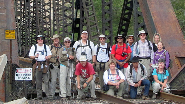
Standing L to R: Chuck, Dave, Sandy, Michael, David, Ajay, George, Andy, Lori, Mary Kneeling L to R: Bill, Cyd, Rudy, Eileen [Bill Zimmermann photo] |
|
Fourteen hikers gathered Saturday morning to do the Coke Ovens hike. Reading up on the history of the Coke Ovens, there are two conflicting stories: One is that the Pinal Consolidated Mining Company built them in 1882 to turn mesquite into charcoal, which was used to smelt ore from silver mines in the nearby ghost town of Cochran. Charcoal burns hotter than the wood from which it was derived from. The other story is from William Fred Jenkins, who homesteaded the banks of the Gila and actually lived in one of the kilns. According to Mr. Jenkins, the structures were not kilns, but smelters built by Scottish miners in the 1850s. Either way, the structures, made of native stone cut into blocks and held together by decomposed granite are an impressive 30 feet high and 72 feet in circumference and stand out from the surrounding area with the Gila river below and the cliffs of North Butte rising behind them. |
 Gila River crossing amid autumn finery. [photo by Ajay Kak] |
 Dromedary Camel Rock stands watch over Donnelly Wash. When we reached the Gila River, to our surprise, it was easy crossing. No changing into different shoes for wading across – just stepping on the stones across the shallow water. Hiking down the road shaded by the mesquite trees made you almost feel like you were walking through a tunnel. |
 We’re almost at the Coke Ovens. [Bill Zimmermann photo] |
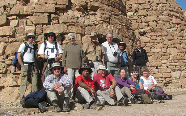 Made it all the way to the Coke Ovens. [Bill Zimmermann photo] |
 Andy surveys the ruins. |
|
The last mile before reaching the Coke Ovens is out in the open with no shade. Were there trees at one time but cut down and used for the kilns? |
| Next 3 photos by Bill Zimmermann: |
 This is arch country! |
 Mountains catch the afternoon sun. |
 Chain fruit cholla salutes the Dripping Springs Mountains. |
|
It was a fun day and the weather cooperated. It might have been a little chilly and windy as we tailgated at the vehicles waiting for Bill, Andy, Ajay, Rudy, George and Lori, who opted for the longer return down Donnelly Wash, but I couldn’t have asked for a better day and a better hiking group. Thanks to all who participated in this event! |
 Trailblazers celebrate at the River Bottom Grill in Florence. [photo by Ajay Kak] |
|
Everyone on this hike was asked to get a State Land Trust Permit as we were on BLM land and State Land. |
|
Supplemental Report by Bill Zimmermann Thanks Eileen ... I think it went well. The green path on my GPS map is the return route by me, Ajay, Rudy, Laurie, Andy, and George. We followed Donnelly Wash to "BW" where we bushwhacked our way to the car. |
 Ajay, Bill, Laurie, Rudy, Andy, George – when we explored “Camel Rock” in the background. |
|
We explored the “Camel Box Canyon” a little higher and deeper than last time, which took a little longer. Thanks for waiting. |
 Top of Page
Arizona Trailblazers Hiking Club, Phoenix, Arizona
Comments? Send them to the AZHC .
updated May 28, 2020